MyTopo
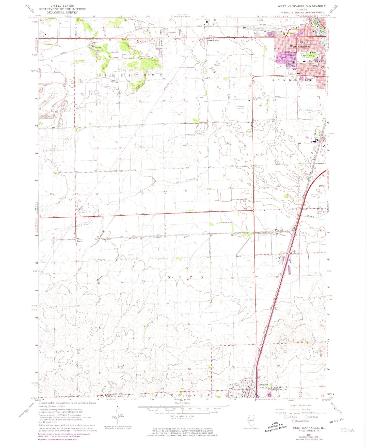
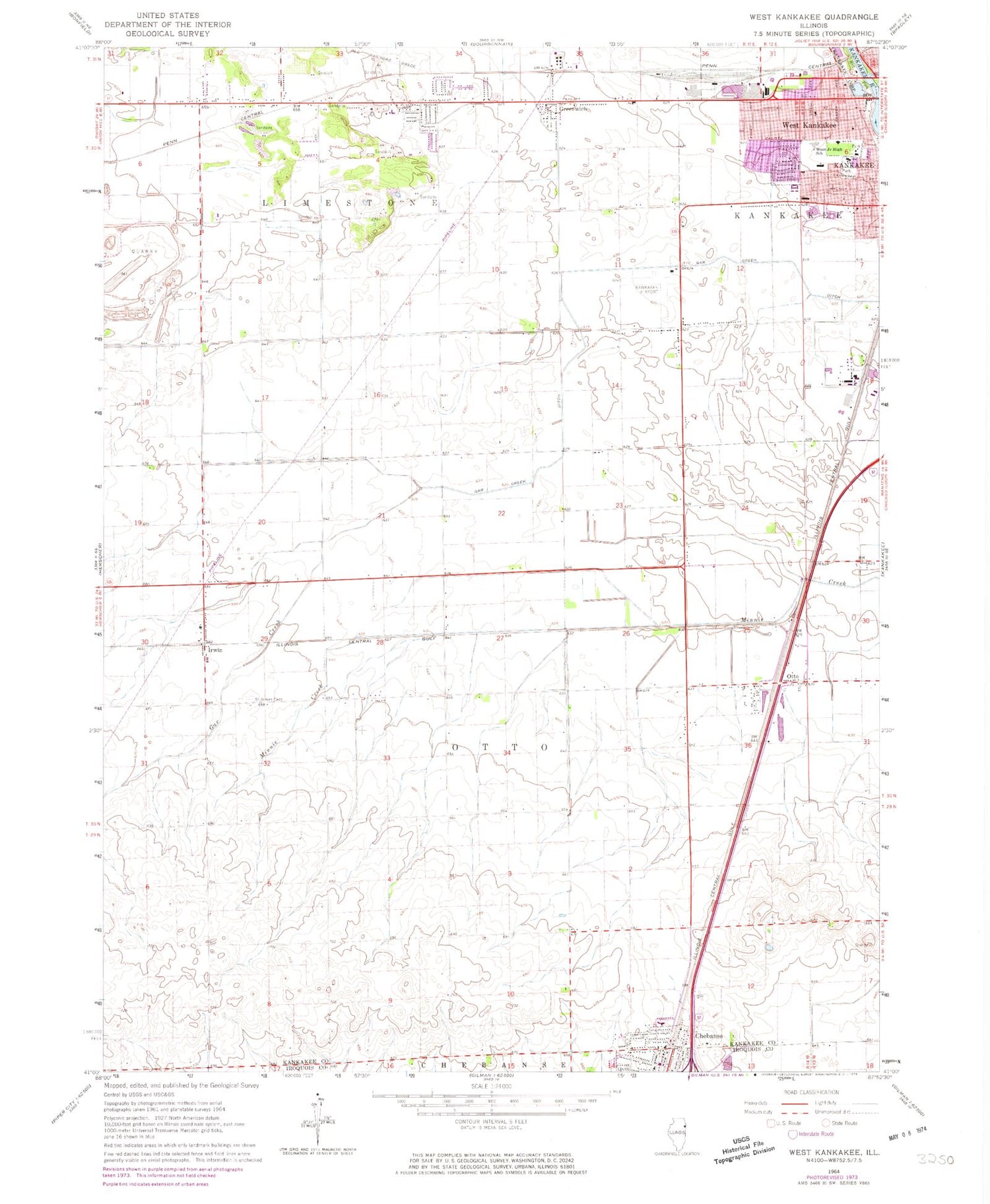
Classic USGS West Kankakee Illinois 7.5'x7.5' Topo Map
Couldn't load pickup availability
Historical USGS topographic quad map of West Kankakee in the state of Illinois. Map scale may vary for some years, but is generally around 1:24,000. Print size is approximately 24" x 27"
This quadrangle is in the following counties: Iroquois, Kankakee.
The map contains contour lines, roads, rivers, towns, and lakes. Printed on high-quality waterproof paper with UV fade-resistant inks, and shipped rolled.
Contains the following named places: Balthazor School, Beardsley School, Bird Park, Bracken School, Chebanse, Chebanse Post Office, Devere School, Gar Creek Ditch, Greenwich, Hawkins School, Hillside Manor, Hillside Stock Farm, Imhauser School, Irwin, John Kennedy Middle Grade School, Kankakee Airport, Kankakee Fire Department Station 5, Kankakee High School, Kankakee Trinity Academy, Kingdom Hall of Jehovahs Witnesses, Lehigh School, Limestone Fire Protection District, North Irwin School, Open Bible Center, Otto, Otto Township Fire Protection District, Porter School, Pratt School, Riverside Healthcare, Riverside Medical Center Heliport, Saint James Catholic Church, Saint James Cemetery, Saint John Reformed Church, Saint Martin of Tours Roman Catholic Church, Saint Martin of Tours School, Small Memorial Park, Snider's Nursery, Soldier Creek, Taft Primary School, Township of Otto, Village of Chebanse, Village of Irwin, Village of Limestone, Wall Street Baptist Church, West Kankakee, West Zion Church of the Nazarene, WLRT-FM (Kankakee), ZIP Codes: 60901, 60922


