
MyTopo
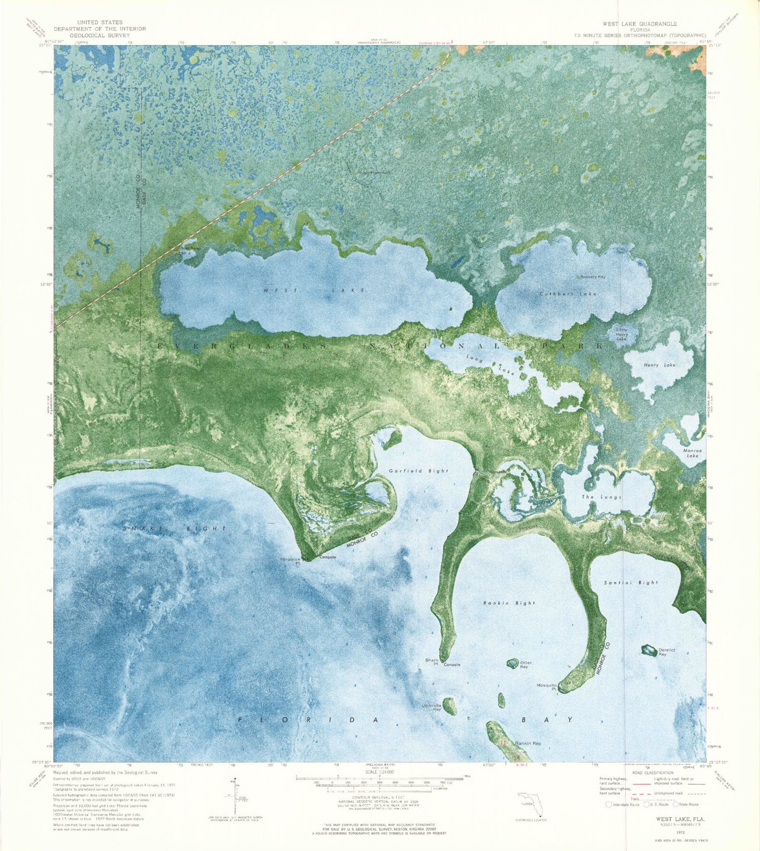
Classic USGS West Lake Florida 7.5'x7.5' Topo Map
Couldn't load pickup availability
Historical USGS topographic quad map of West Lake in the state of Florida. Map scale may vary for some years, but is generally around 1:24,000. Print size is approximately 24" x 27"
This quadrangle is in the following counties: Miami-Dade, Monroe.
The map contains contour lines, roads, rivers, towns, and lakes. Printed on high-quality waterproof paper with UV fade-resistant inks, and shipped rolled.
Contains the following named places: Alligator Creek, Crocodile Point Trail, Cuthbert Lake, Derelict Key, Garfield Bight, Henry Lake, Little Henry Lake, Long Lake, Mosquito Point, Noble Hammock, Noble Hammock Canoe Trail, Otter Key, Porpoise Point, Rankin Bight, Rankin Key, Rookery Key, Santini Bight, Shark Point, Snake Bight, Snake Bight Canal, The Lungs, Umbrella Key, West Lake


