MyTopo
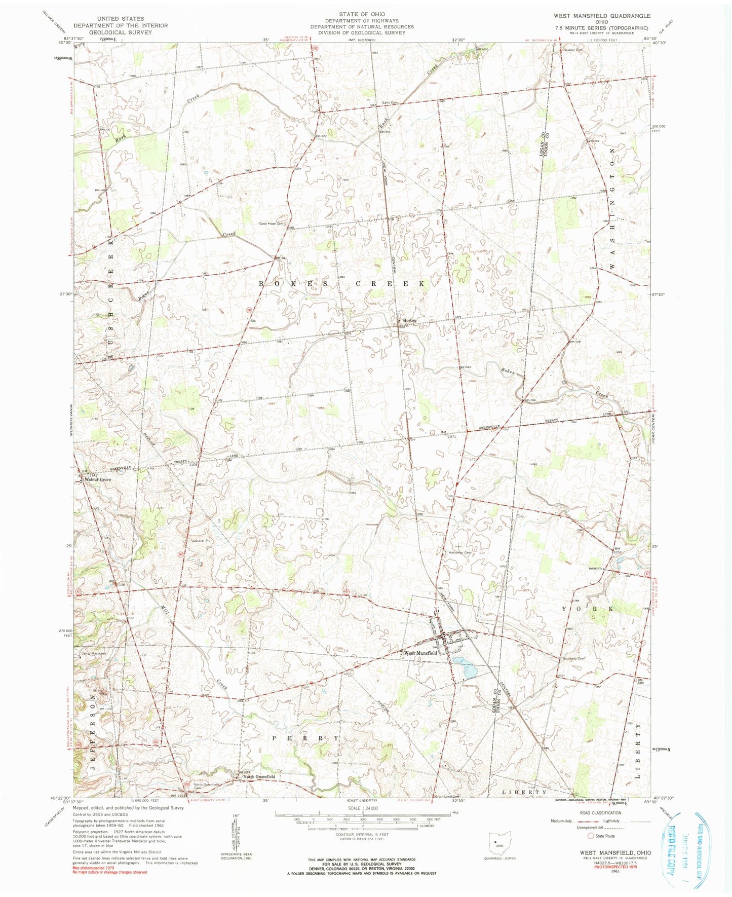
Classic USGS West Mansfield Ohio 7.5'x7.5' Topo Map
Couldn't load pickup availability
Historical USGS topographic quad map of West Mansfield in the state of Ohio. Map scale may vary for some years, but is generally around 1:24,000. Print size is approximately 24" x 27"
This quadrangle is in the following counties: Logan, Union.
The map contains contour lines, roads, rivers, towns, and lakes. Printed on high-quality waterproof paper with UV fade-resistant inks, and shipped rolled.
Contains the following named places: Bell School, Benjamin Logan Elementary School, Bethany School, Bethel Church, Bethel School, Bokescreek Township Fire Department, Camp Macochee, Centennial School, Early Cemetery, Good Hope Cemetery, Good Hope School, Hathaway Cemetery, Heartland Quality Egg Farm, Horton, Horton Post Office, North Greenfield, North Greenfield Cemetery, North Greenfield Post Office, Pullet Farm, Quaker Cemetery, Quaking Asp School, School Number 10, Southard Cemetery, Township of Bokescreek, Village of West Mansfield, Walnut Grove, Walnutgrove Post Office, West Mansfield, West Mansfield Baptist Church, West Mansfield Post Office, West Mansfield United Methodist Church, White Swan School, ZIP Code: 43358