MyTopo
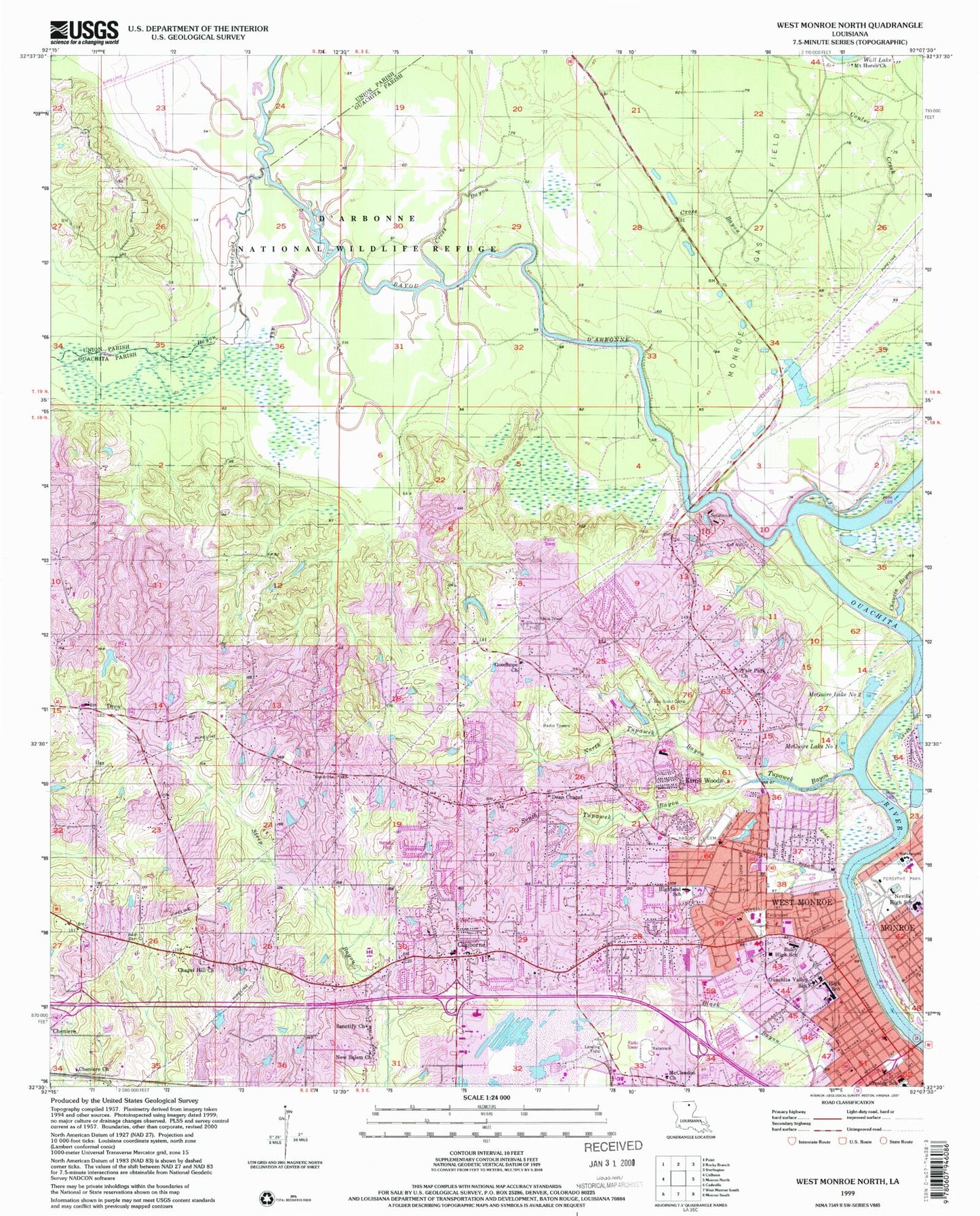
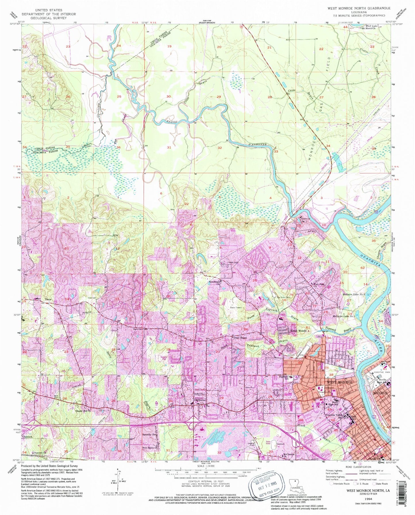
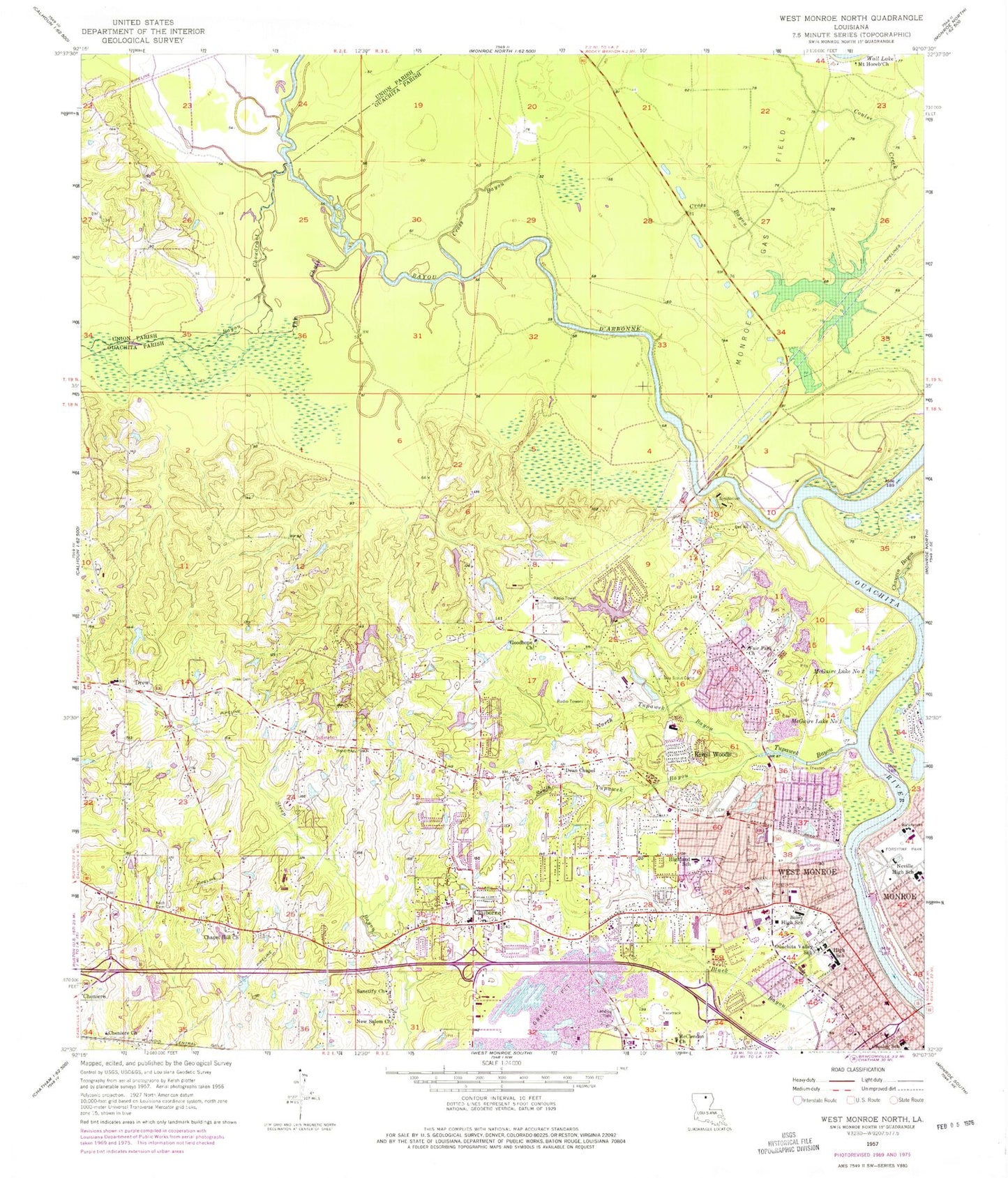
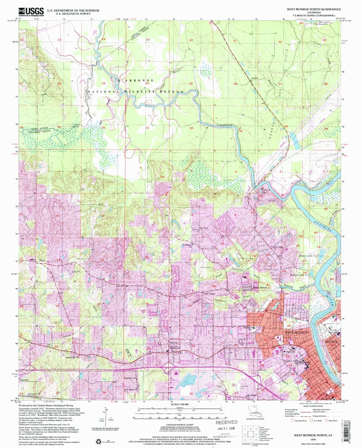
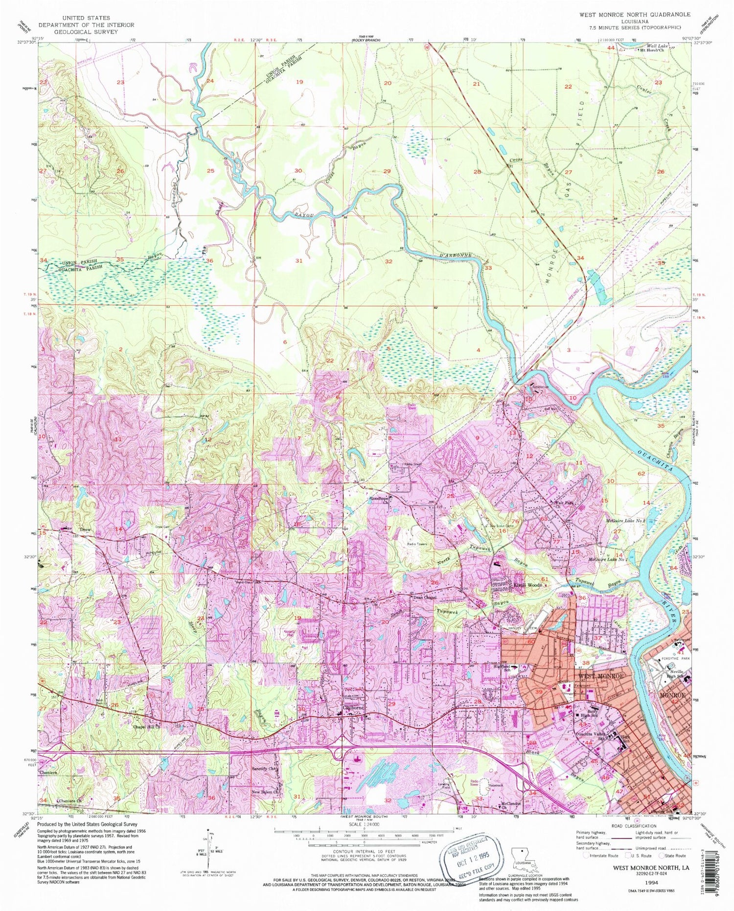
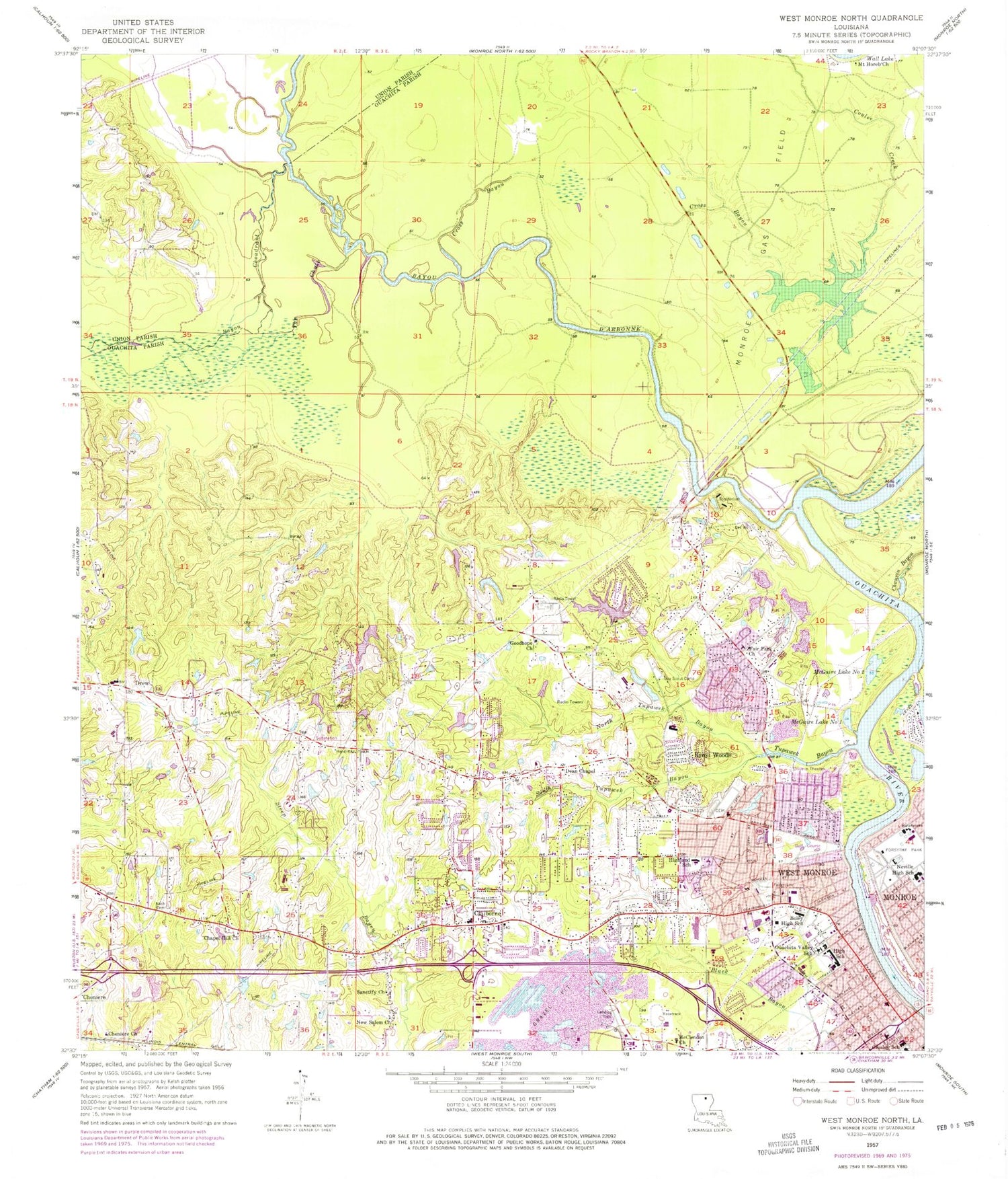
Classic USGS West Monroe North Louisiana 7.5'x7.5' Topo Map
Couldn't load pickup availability
Historical USGS topographic quad map of West Monroe North in the state of Louisiana. Map scale may vary for some years, but is generally around 1:24,000. Print size is approximately 24" x 27"
This quadrangle is in the following counties: Ouachita, Union.
The map contains contour lines, roads, rivers, towns, and lakes. Printed on high-quality waterproof paper with UV fade-resistant inks, and shipped rolled.
Contains the following named places: American Legion Home, Bayou Choudrant, Bayou D'Arbonne, Bayou de Siard, Boley Elementary School, C B Cooley Hospital, Casa Linda, Chapel Hill Church, Chauvin Bayou, Cheniere, Cheniere Baptist Church, City of West Monroe, Claiborne, Claiborne Assembly of God Church, Claiborne Census Designated Place, Claiborne Elementary School, Claiborne United Methodist Church, Clairborne Christian School, Community Baptist Church, Cornerstone Specialty Hospitals West Monroe, Coulee Creek, County Side, Crosley Elementary School, Cross Bayou, Cumberland Presbyterian Church, Cypress Academy, D 'Arbonne National Wildlife Refuge, D'Arbonne Hills, D'Arbonne Landing, Dean Chapel, Deha Vocational Technical Institute, Delta-Ouachita Vocational Technical Institute, Dopson, Downing Pines Industrial Park, Drew, Drew Elementary School, Dryers Chapel Christian Methodist Episcopal Church, Edgewood Baptist Church, Emmanuel Baptist Church of West Monroe, Fair Park Baptist Church, Fire Baptized Holiness Church, First Assembly of God Church, First Baptist Church, First Church of the Nazarene, Forest Park, Forsythe Park, George Welch Elementary School, Glenwood Mall Shopping Center, Glenwood Regional Medical Center, Good Hope Middle School, Goodhope Baptist Church, Green Springs, Hasley Cemetery, Highland Baptist Church, Highland Elementary School, Highland Park, Highland Park Golf Course, Highland Pentecostal Church, Highland Presbyterian Church, Hillside Park, Hurricane Creek, Indian Lake Estates, Kingdom Hall of Jehovahs Witnesses, Kiroli Elementary School, Kiroli Park, Kiroli Woods, KMCT-TV (West Monroe), KNoe-AM (Monroe), Lakeland Gardens, Lakeside Golf and Country Club, Louisiana Extended Care Hospital of West Monroe, McClendon Baptist Church, McGuire Lake Number One, McGuire Lake Number Two, McQuire United Methodist Church, Memorial Presbyterian Church, Millsaps School, Mount Clendon Church, Mount Gilead Baptist Church, Mount Horeb Church, Nature's Way Montessori School, Neville High School, New Salem Baptist Church, North Tupawek Bayou, Northeast Baptist School, Northwood Estates, Old Ten, Olive Branch Baptist Church, Ouachita Association for Retarded Citizens School, Ouachita Career Center, Ouachita Community Hospital, Ouachita Development Training Center, Ouachita Parish Fire Protection District 1 Station 2, Ouachita Parish Fire Protection District 1 Station 6, Ouachita Valley Public Library, Ouachita Valley School, Parish Governing Authority District A, Parkwood, Pine Grove, Pine Hollow Estates, Pine Terrace, Ridge Monroe Baptist Church, Ridgedale Academy, Rockthrow, Royal Pines, Saint Paschal School, Saint Paschals Catholic Church, Saint Patricks Episcopal Church, Sherwood Forest, South Drew Gas Field, South Tupawek Bayou, Sunshine Heights, Sunshine Heights Shopping Center, Sylvan Lake Estates, The Chute, The Seed of Christianity Church, Trenton Landing, Tupawek, Tupawek Bayou, Upper Paragoud Landing, Valley Hills, Ward Five, Wesleyan Church, West Gate Shopping Center, West Monroe, West Monroe City Hall, West Monroe City Marshal, West Monroe Convention Center, West Monroe Fire Department, West Monroe High School, West Monroe Police Department, West Monroe Public Library, West Ridge Middle School, Western Hills, Whites Ferry Road Church of Christ, Woodland Hills Hospital, ZIP Code: 71291
