MyTopo
Classic USGS West of Paterson Washington 7.5'x7.5' Topo Map
Couldn't load pickup availability
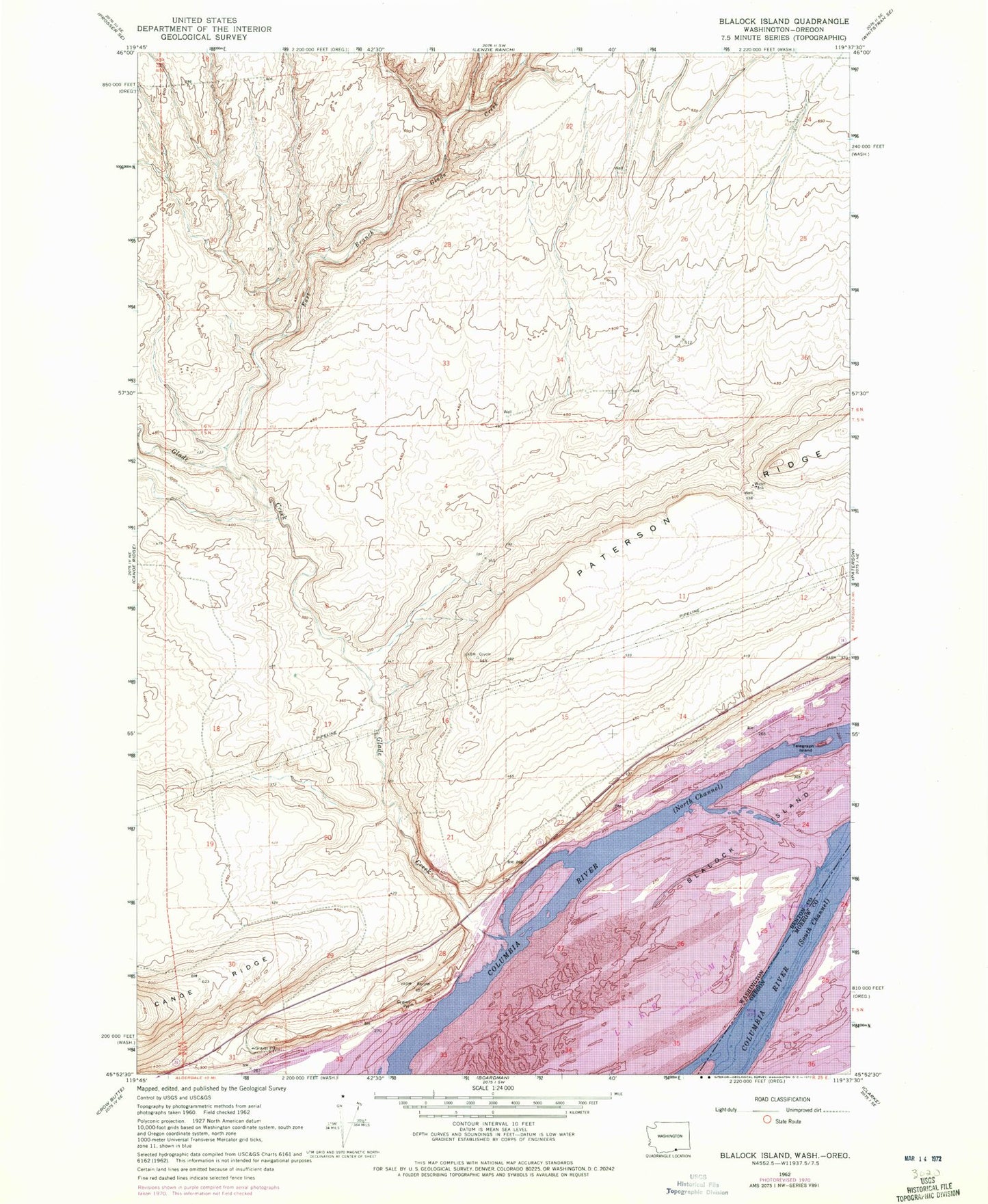
Historical USGS topographic quad map of West of Paterson in the states of Washington, Oregon. Map scale may vary for some years, but is generally around 1:24,000. Print size is approximately 24" x 27"
This quadrangle is in the following counties: Benton, Morrow.
The map contains contour lines, roads, rivers, towns, and lakes. Printed on high-quality waterproof paper with UV fade-resistant inks, and shipped rolled.
Contains the following named places: Blalock Islands, East Branch Glade Creek, Glade Creek, Little Blalock Island, North Channel Columbia River, Rock Island, Sage, Sand Island, Sandpiper Farms Leveling Pond, Sandpiper Farms Leveling Pond Dam, South Channel, South Channel Columbia River, Telegraph Island, ZIP Code: 99345