MyTopo
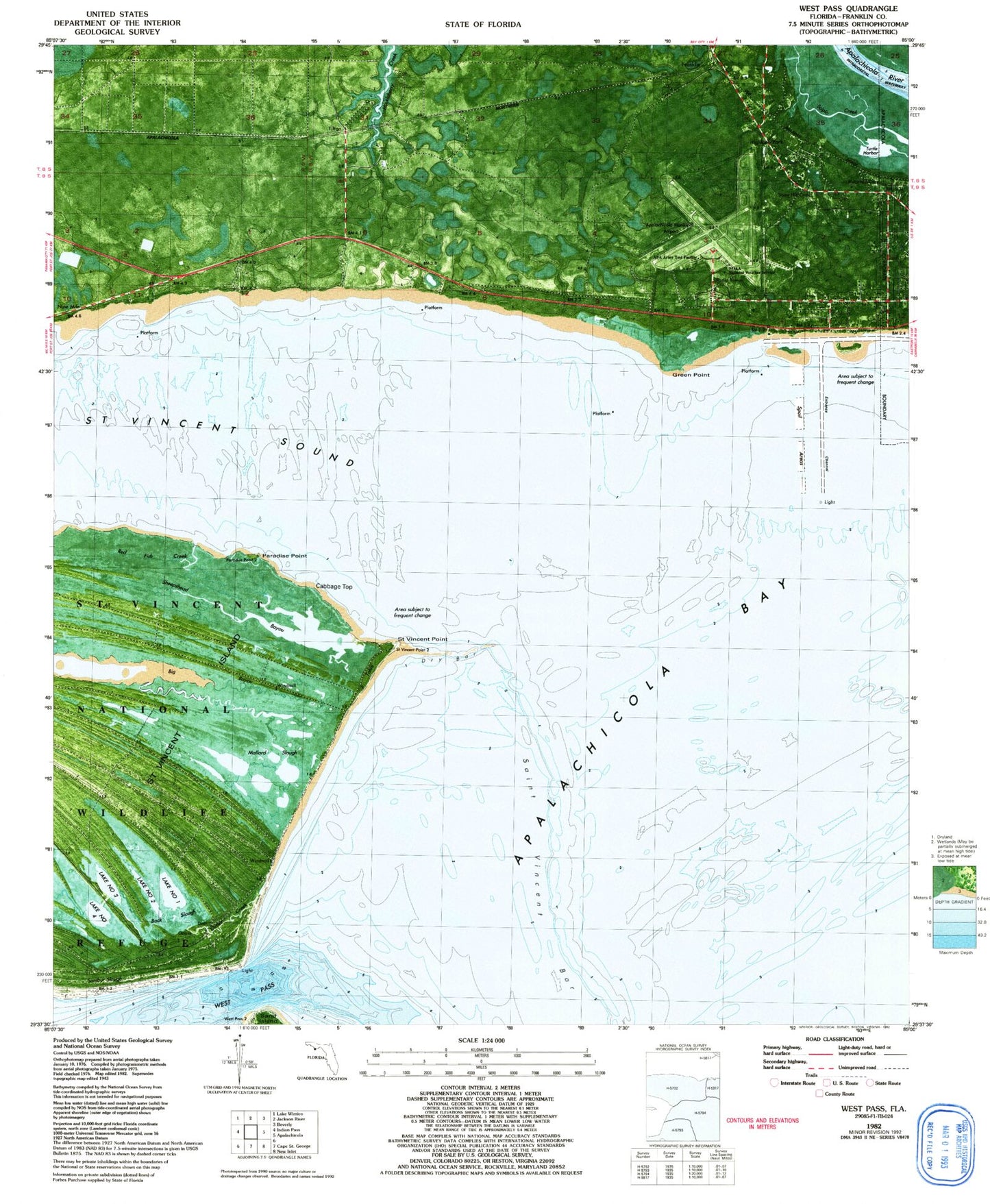
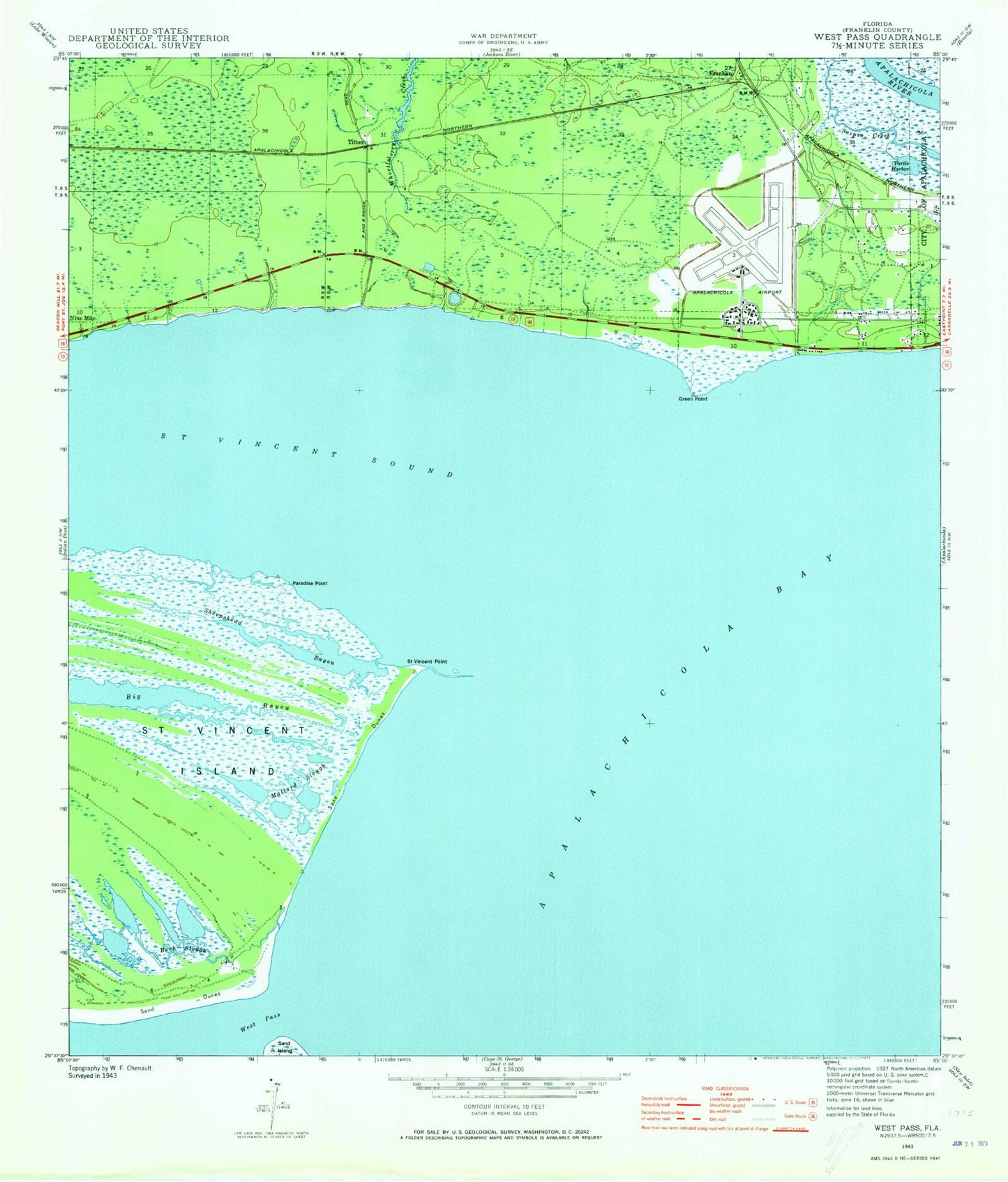
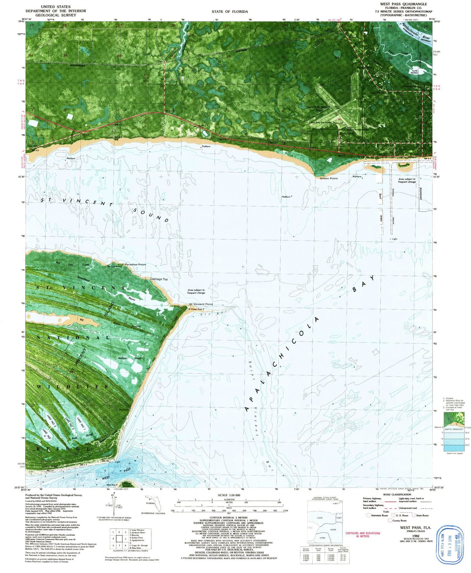
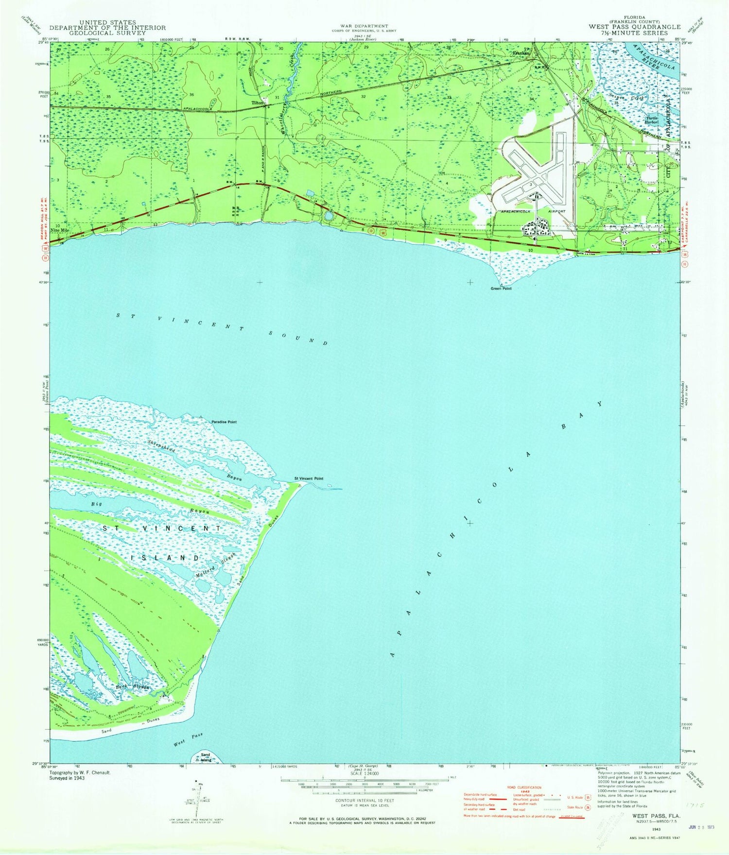
Classic USGS West Pass Florida 7.5'x7.5' Topo Map
Couldn't load pickup availability
Historical USGS topographic quad map of West Pass in the state of Florida. Map scale may vary for some years, but is generally around 1:24,000. Print size is approximately 24" x 27"
This quadrangle is in the following counties: Franklin.
The map contains contour lines, roads, rivers, towns, and lakes. Printed on high-quality waterproof paper with UV fade-resistant inks, and shipped rolled.
Contains the following named places: Apalachicola Army Air Field, Apalachicola Regional Airport-Cleve Randolph Field, Back Slough, Cabbage Top, Eagles Nest Boat Landing, Franklin, Green Point, Lake Number 1, Lake Number 2, Lake Number 3, Lake Number 4, Mallard Slough, Nine Mile, Paradise Point, Saint Vincent Point, Saint Vincent Sound, Saint Vincents National Wildlife Refuge Fire Department, Sand Island, Sheepshead Bayou, Tilton, Turtle Harbor, Two Mile, Two Mile Channel, West Pass, ZIP Code: 32320


