MyTopo
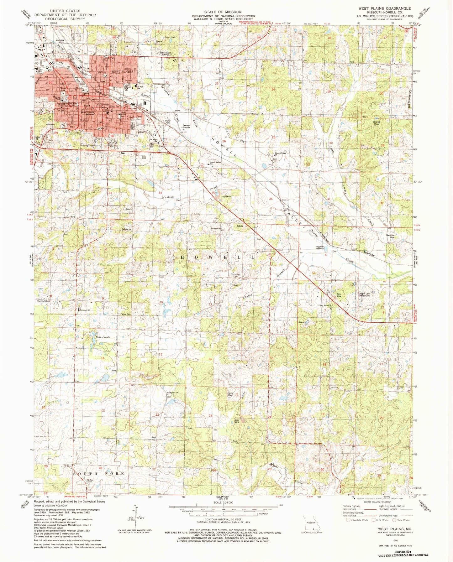
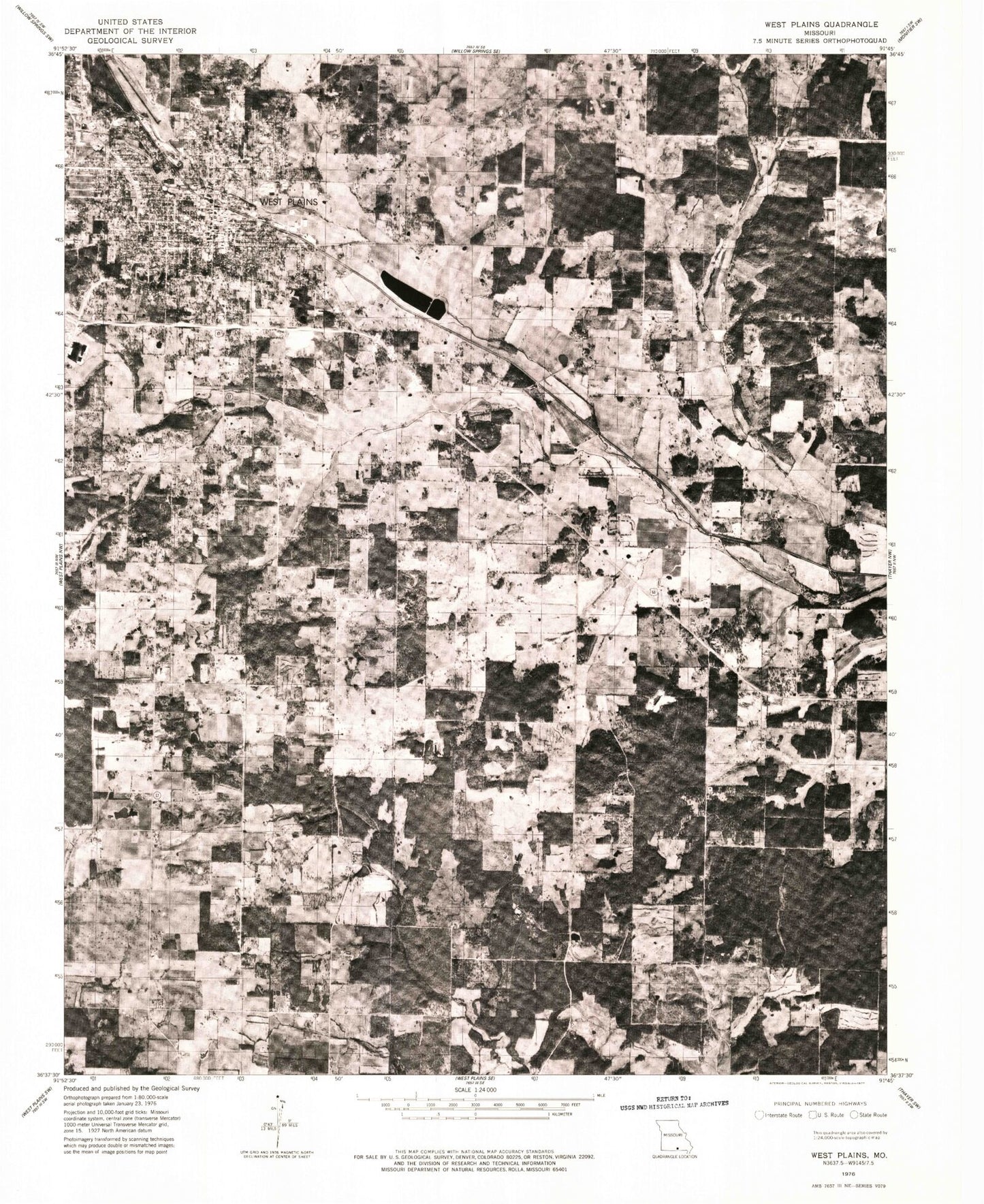
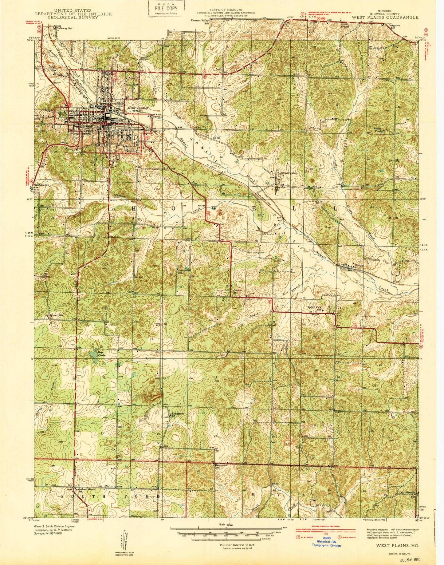
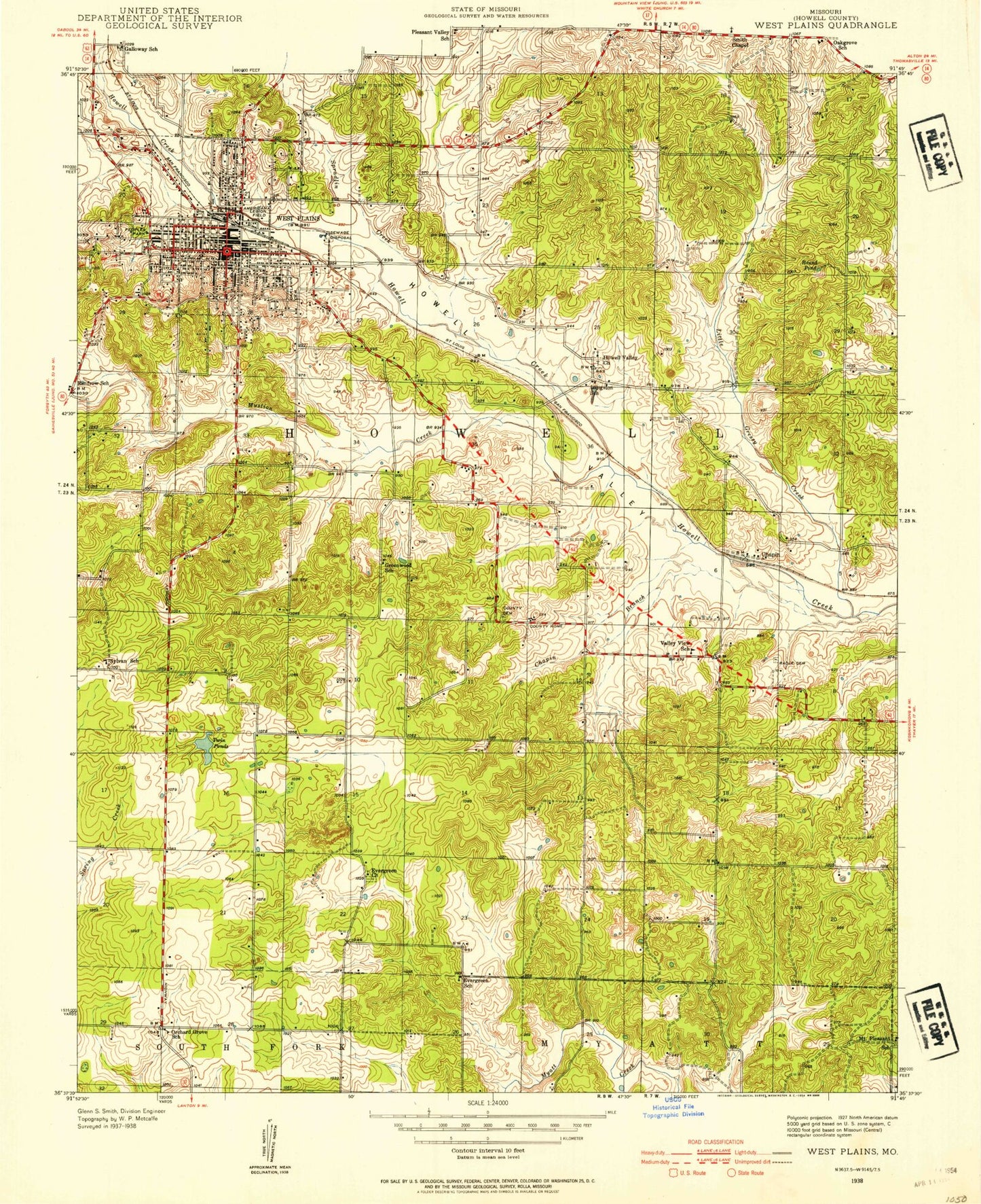
Classic USGS West Plains Missouri 7.5'x7.5' Topo Map
Couldn't load pickup availability
Historical USGS topographic quad map of West Plains in the state of Missouri. Map scale may vary for some years, but is generally around 1:24,000. Print size is approximately 24" x 27"
This quadrangle is in the following counties: Howell.
The map contains contour lines, roads, rivers, towns, and lakes. Printed on high-quality waterproof paper with UV fade-resistant inks, and shipped rolled.
Contains the following named places: American Legion Field, Big Greasy Creek, Bratton Dam, Burton Creek, Butler Park, Carmichal School, Carson, Chapin, Chapin Branch, Chapin Cemetery, City of West Plains, Cottbus, Cottbus Post Office, Evergreen Church, Evergreen School, Foster School, Frankville, Glenwood School, Greenwood School, Hill Top Chapel, Hines Hill, Howell County Cemetery, Howell County Sheriff's Office, Howell County Welfare Home, Howell Valley Airport, Howell Valley Cemetery, Howell Valley Church, Howell Valley School, James P. Harlin Museum, Kennedy Dam, KWPM-AM (West Plains), Langston School, Leader, Leader Post Office, Lincoln Park, Little Greasy Creek, Martin Lake Dam, Missouri Department of Conservation Forestry Ozark Regional Field Fire Office West Plains, Missouri State University-West Plains, Mononame 772 Dam, Mount Pleasant School, Mustion Creek, Mustion Hollow, North Fork Howell Creek, Oak Lawn Cemetery, Orchard Grove School, Ozarks Medical Center, Parker Cemetery, Park-way Shopping Center, Peoples Park, Reese School, Round Pond, Saint Marys School, South Fork Howell Creek, Southern Hills Church, Southern Hills Shopping Center, Spradlin Creek, Summers Addition, Sylvan School, Township of Howell, Twin Ponds, Valley View Church, Valley View School, West Plains, West Plains Fire Department Station 2 - Downtown Station, West Plains High School, West Plains Junior High School, West Plains Municipal Airport, West Plains Post Office, West Plains Voc-Tech School, ZIP Code: 65775


