MyTopo
Classic USGS West Point NE Nebraska 7.5'x7.5' Topo Map
Regular price
$16.95
Regular price
Sale price
$16.95
Unit price
per
Couldn't load pickup availability
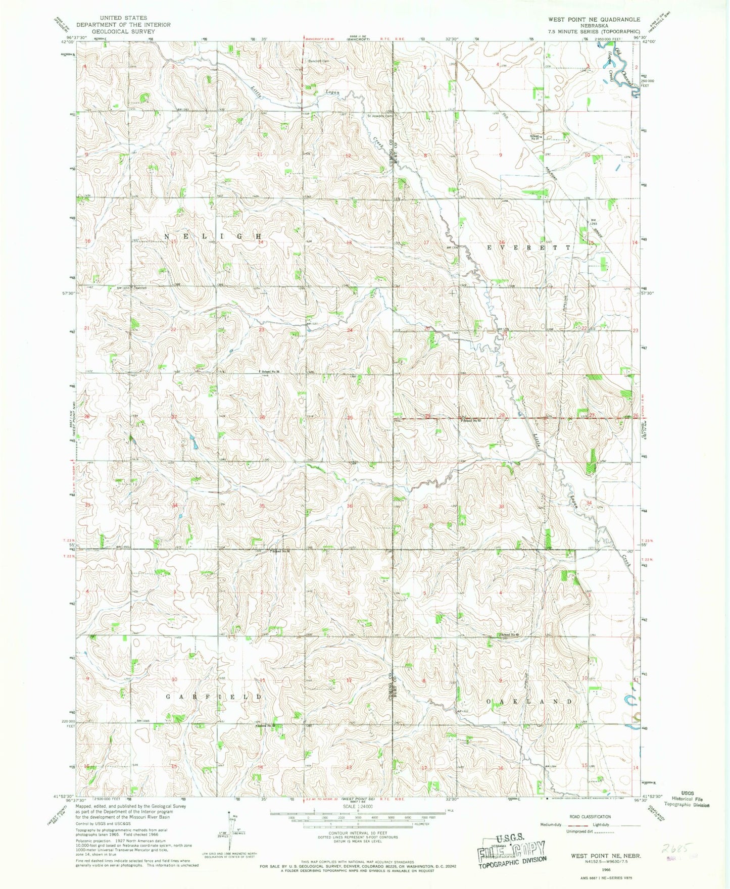
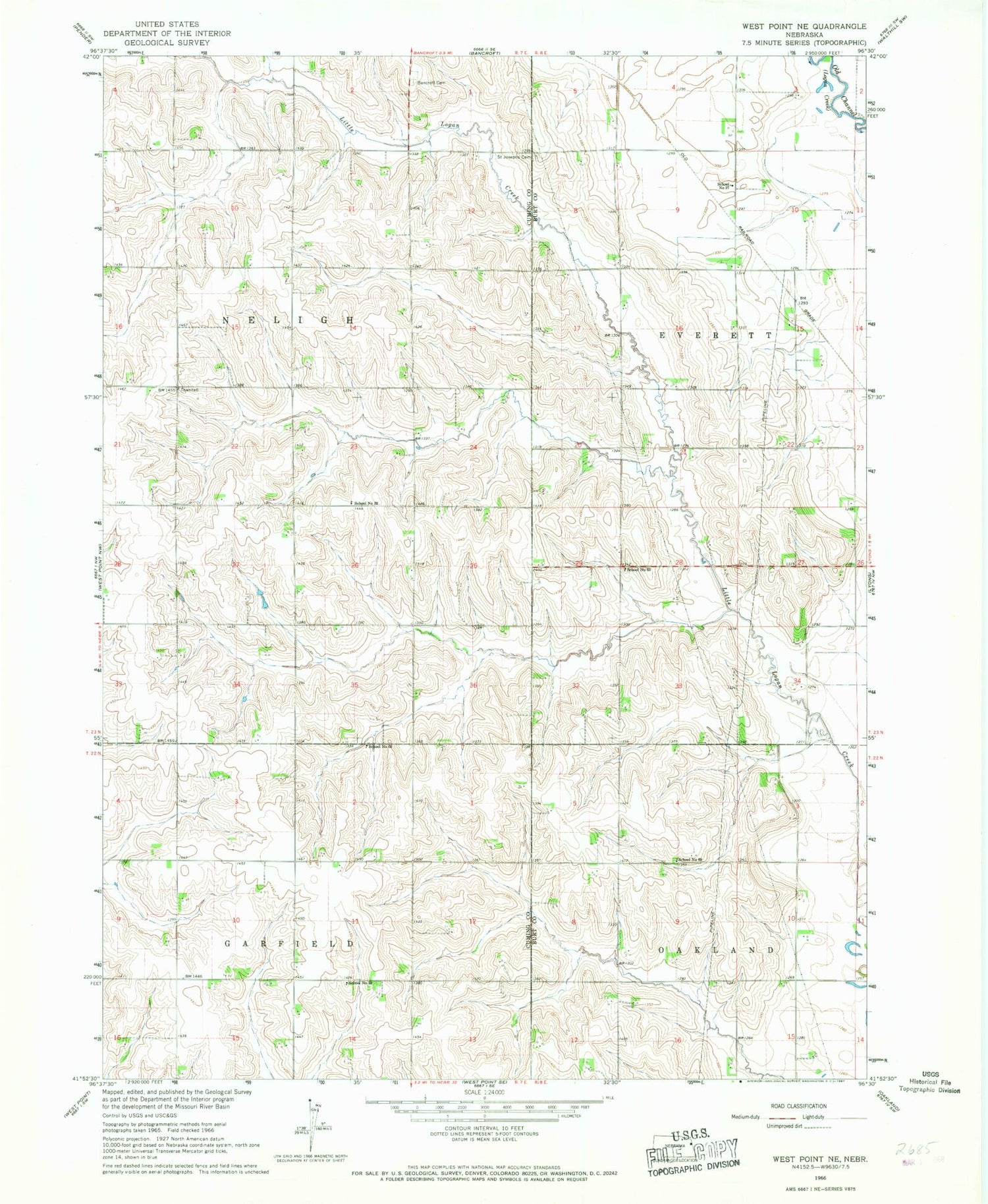
Historical USGS topographic quad map of West Point NE in the state of Nebraska. Map scale may vary for some years, but is generally around 1:24,000. Print size is approximately 24" x 27"
This quadrangle is in the following counties: Burt, Cuming.
The map contains contour lines, roads, rivers, towns, and lakes. Printed on high-quality waterproof paper with UV fade-resistant inks, and shipped rolled.
Contains the following named places: Bancroft Cemetery, Paine Public School, Saint Josephs Cemetery, School Number 32, School Number 33, School Number 58, School Number 63, School Number 69, Township of Everett, Township of Neligh