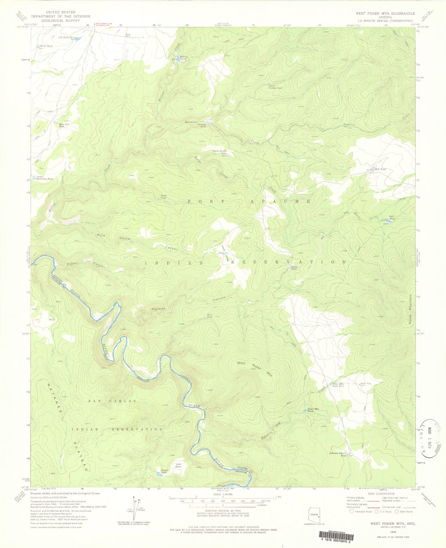
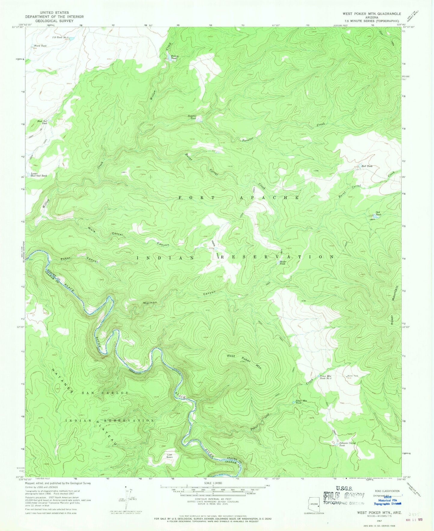
MyTopo
Classic USGS West Poker Mountain Arizona 7.5'x7.5' Topo Map
Couldn't load pickup availability
Historical USGS topographic quad map of West Poker Mountain in the state of Arizona. Map scale may vary for some years, but is generally around 1:24,000. Print size is approximately 24" x 27"
This quadrangle is in the following counties: Apache, Graham.
The map contains contour lines, roads, rivers, towns, and lakes. Printed on high-quality waterproof paper with UV fade-resistant inks, and shipped rolled.
Contains the following named places: Bull Tank, Burnt Corral Creek, Carlos Moody Tank, Coupon Tank, Heifer Tank, Hells Hole, Hoot Owl Tank, I D Tank Number Two, Johnson Corral Tank, Lost Basin, Lower Hoot Owl Tank, Mormon Canyon, Mule Corral Canyon, Oak Tank, Poker Canyon, Poker Gap Creek, Poker Mountain, Poker Mountain Tank, Poker Mountain Tank Number Two, Shale Tank, Sweater Creek, Sweater Tank, Upper Sweater Tank, Ward Tank, West Poker Mountain, West Tank, Willow Tank, Willow Tank Dam