MyTopo
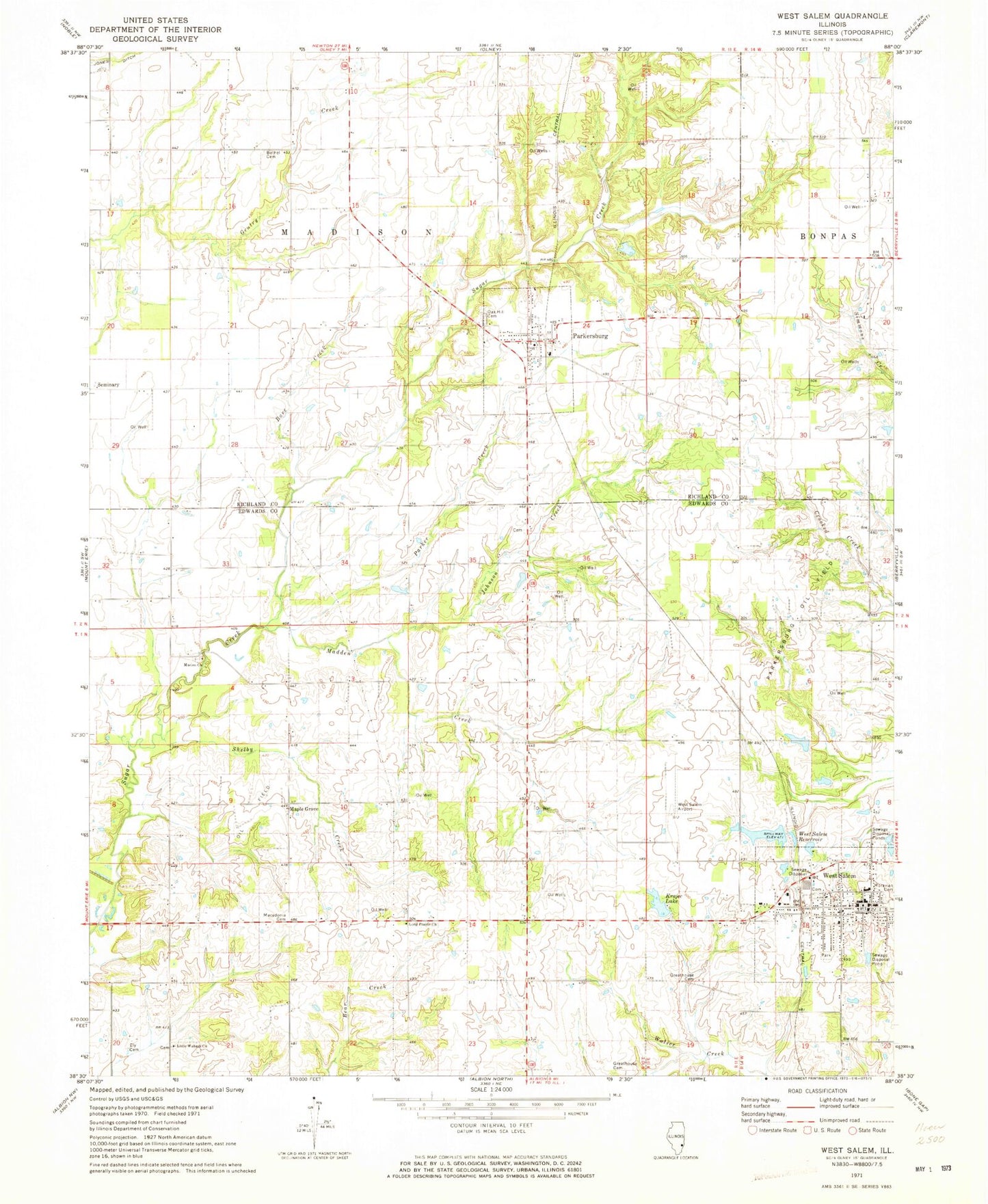
Classic USGS West Salem Illinois 7.5'x7.5' Topo Map
Couldn't load pickup availability
Historical USGS topographic quad map of West Salem in the state of Illinois. Map scale may vary for some years, but is generally around 1:24,000. Print size is approximately 24" x 27"
This quadrangle is in the following counties: Edwards, Richland.
The map contains contour lines, roads, rivers, towns, and lakes. Printed on high-quality waterproof paper with UV fade-resistant inks, and shipped rolled.
Contains the following named places: Alfred School, Bare Creek, Bethel Cemetery, Bethel Church, Brown Cemetery, Brown School, Center School, Ely Cemetery, Ensor School, Evangelical Cemetery, Grass Valley School, Greathouse Cemetery, Harrison Lake, Harrison Lake Dam, Harrison School, Hedrick School, Johnson Creek, Jones Ditch, Krajec Lake, Krajec Lake Dam, Little Wabash Cemetery, Little Wabash Zion United Methodist Church, Lone Oak School, Long Prairie Primitive Baptist Church, Macedonia Cemetery, Madden Creek, Maple Grove, Marion, Marion Cemetery, Marion Christian Church, Mason School, Moravian Cemetery, Oak Grove School, Oak Hill Cemetery, Parker Creek, Parkersburg, Parkersburg Oil Field, Parkersburg Post Office, Salem Election Precinct, Salem Number 2 Election Precinct, Seventh Day Adventist Cemetery, Shelby Creek, Shelby Number 1 Election Precinct, Township of Madison, Village of Parkersburg, Village of West Salem, West Salem, West Salem Airport, West Salem City Hall, West Salem Fire Department, West Salem Grade School, West Salem New Reservoir, West Salem New Reservoir Dam, West Salem Police Department, West Salem Post Office, West Salem Reservoir, Zion School, ZIP Codes: 62452, 62476


