MyTopo
Classic USGS West Side Oregon 7.5'x7.5' Topo Map
Regular price
$16.95
Regular price
Sale price
$16.95
Unit price
per
Couldn't load pickup availability
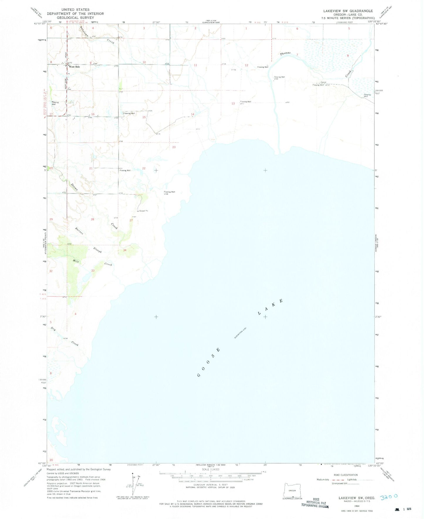
Historical USGS topographic quad map of West Side in the state of Oregon. Map scale may vary for some years, but is generally around 1:24,000. Print size is approximately 24" x 27"
This quadrangle is in the following counties: Lake.
The map contains contour lines, roads, rivers, towns, and lakes. Printed on high-quality waterproof paper with UV fade-resistant inks, and shipped rolled.
Contains the following named places: Antelope Creek, Barnes Slough, Cheney Slough, Cottonwood Creek, Drews Creek, Drews Creek Slough, Dry Creek, Mill Creek, Thomas Creek, West Side, West Side Post Office, Westside Rural Fire Department