MyTopo
Classic USGS West Sumner Maine 7.5'x7.5' Topo Map
Couldn't load pickup availability
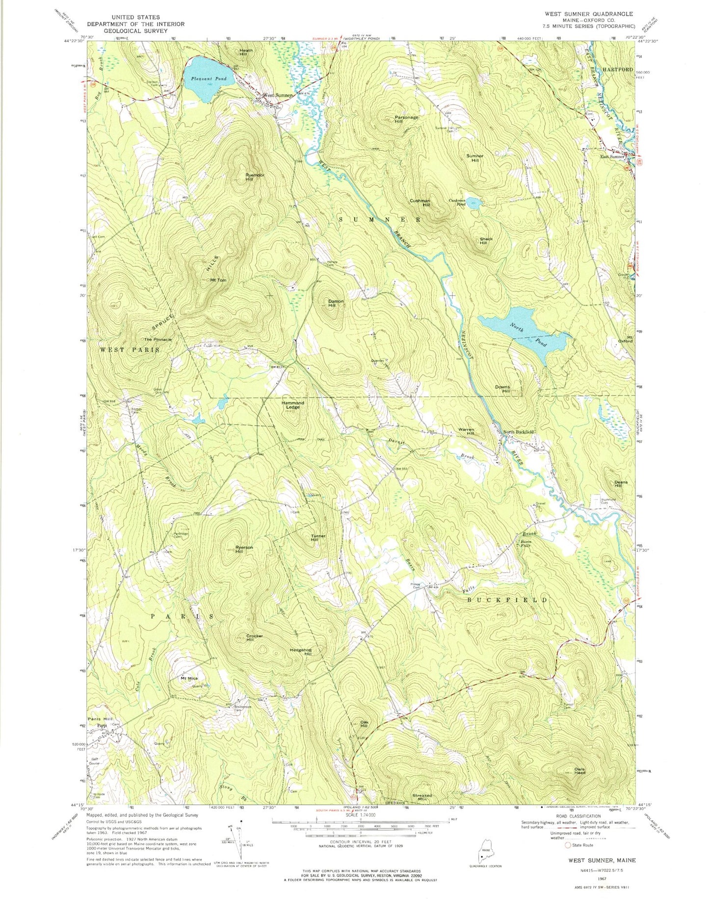
Historical USGS topographic quad map of West Sumner in the state of Maine. Typical map scale is 1:24,000, but may vary for certain years, if available. Print size: 24" x 27"
This quadrangle is in the following counties: Oxford.
The map contains contour lines, roads, rivers, towns, and lakes. Printed on high-quality waterproof paper with UV fade-resistant inks, and shipped rolled.
Contains the following named places: Basin Falls, Basin Falls Brook, Buckfield Village Cemetery, Crocker Hill, Cushman Hill, Cushman Pond, Damon Hill, Darnit Brook, Deans Hill, Downs Hill, East Sumner, Forbes District Cemetery, Grays Cemetery, Hammond Ledge, Heath Hill, Hedgehog Hill, Hersey Cemetery, Hillside Cemetery, Mount Mica, North Buckfield, North Pond, Oak Hill, Owls Head, Paris Hill, Parsonage Hill, Partridge Cemetery, Pleasant Pond, Prince Cemetery, Ryemoor Hill, Ryerson Hill, Shack Hill, Spruce Hills, Stetson Cemetery, Sumner Hill, Sumner Hill Cemetery, The Pinnacle, Mount Tom, Tuelltown Cemetery, Turner Cemetery, Turner Hill, Warren Hill, West Sumner, Whittemore Cemetery, Cummings Airport (historical), Town of Sumner, North Pond Dam, East Sumner Congregational Church, Hartford Sumner Elementary School, Paris Hills Country Club, Paris Hills Historic District, Paris Post Office, West Sumner Baptist Church, Abbots Airport, Robinson Cemetery, West Sumner Christian School


