MyTopo
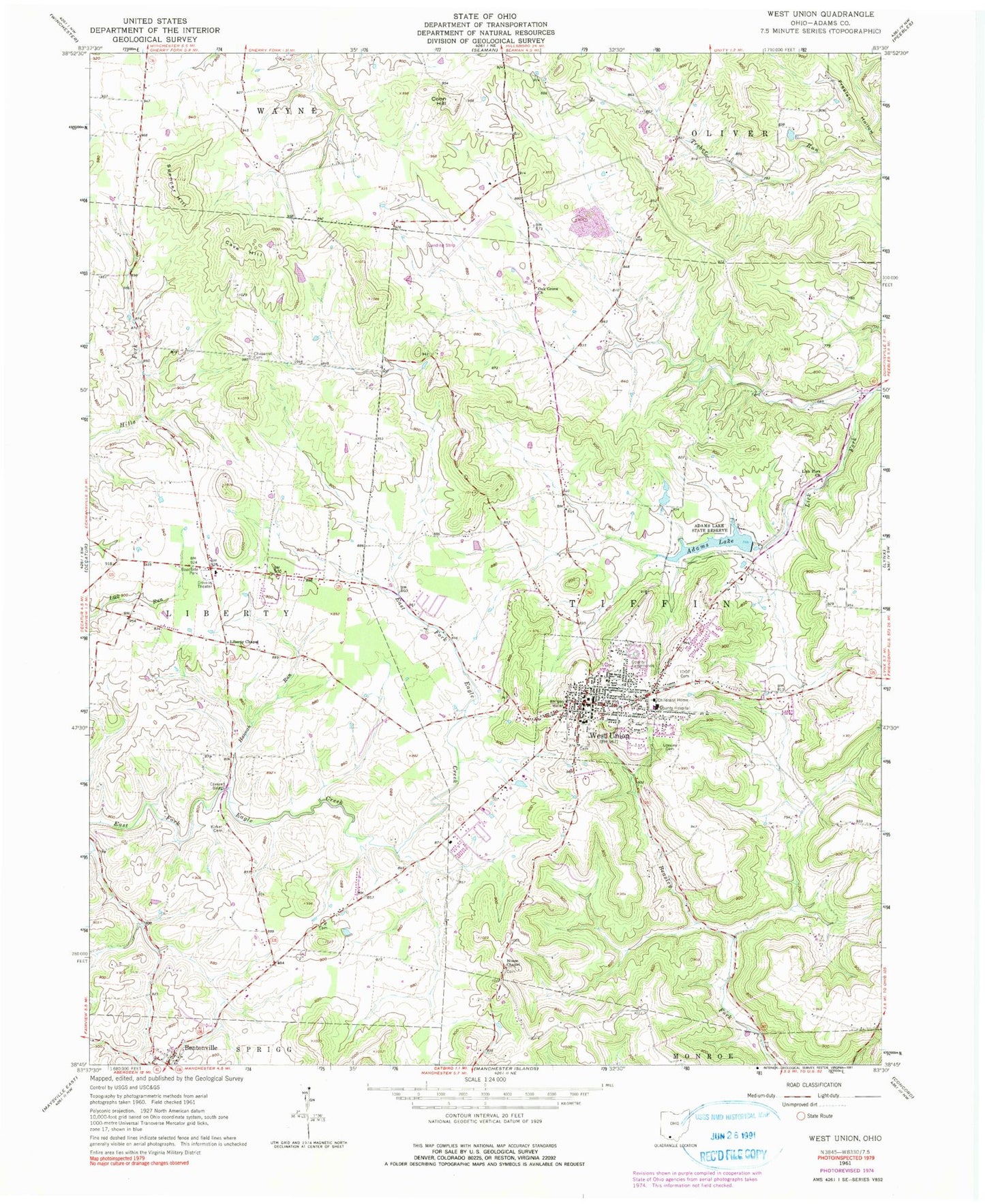
Classic USGS West Union Ohio 7.5'x7.5' Topo Map
Couldn't load pickup availability
Historical USGS topographic quad map of West Union in the state of Ohio. Map scale may vary for some years, but is generally around 1:24,000. Print size is approximately 24" x 27"
This quadrangle is in the following counties: Adams.
The map contains contour lines, roads, rivers, towns, and lakes. Printed on high-quality waterproof paper with UV fade-resistant inks, and shipped rolled.
Contains the following named places: Adams County Hospital, Adams County Hospital Heliport, Adams County Landfill, Adams County Sheriff's Office, Adams Lake, Adams Lake Dam, Adams Lake State Park, Alexander Salamon Airport, Bentonville Post Office, Cave Hill, Chaparral Prairie Nature Preserve, Chaparral School, Coon Hill, Dodge Pond, Dodge Pond Dam, Ellison School, First Baptist Church, Hale Cemetery, Hannah Run, Independent Order of Oddfellows Cemetery, Jerusalem School, Johnson Ridge State Nature Preserve, Kirker Bridge, Kirker Cemetery, Kirker School, Laurel School, Lepley Family Cemetery, Liberty Chapel, Lick Fork Church, Logans Lane Greenhouse and Nursery, Lovejoy Cemetery, Nixon Cemetery, Nixon Chapel, Oak Grove Cemetery, Oak Grove Church, Olive School, Panhandle, Pumpkin Ridge Cemetery, Spencer Hill, Township of Tiffin, Trotter School, Village of West Union, West Union, West Union Church of the Nazarene, West Union Elementary School, West Union High School, West Union Police Department, West Union Post Office, West Union Presbyterian Church, West Union United Methodist Church, West Union Volunteer Fire Department Station 18, West Union Volunteer Life Squad, Whippoorwill, Whippoorwill School, Wideawake School, WRAC-FM (West Union), WVXM-FM (West Union), ZIP Code: 45693


