MyTopo
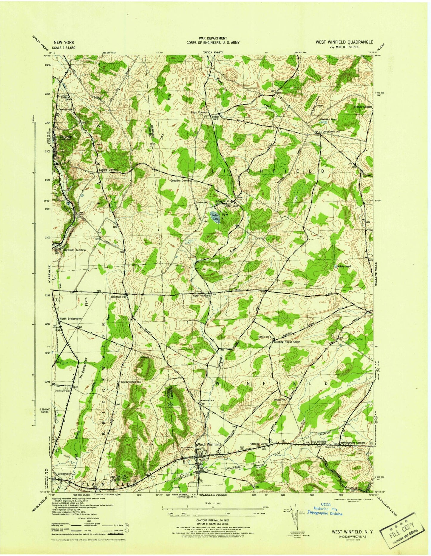
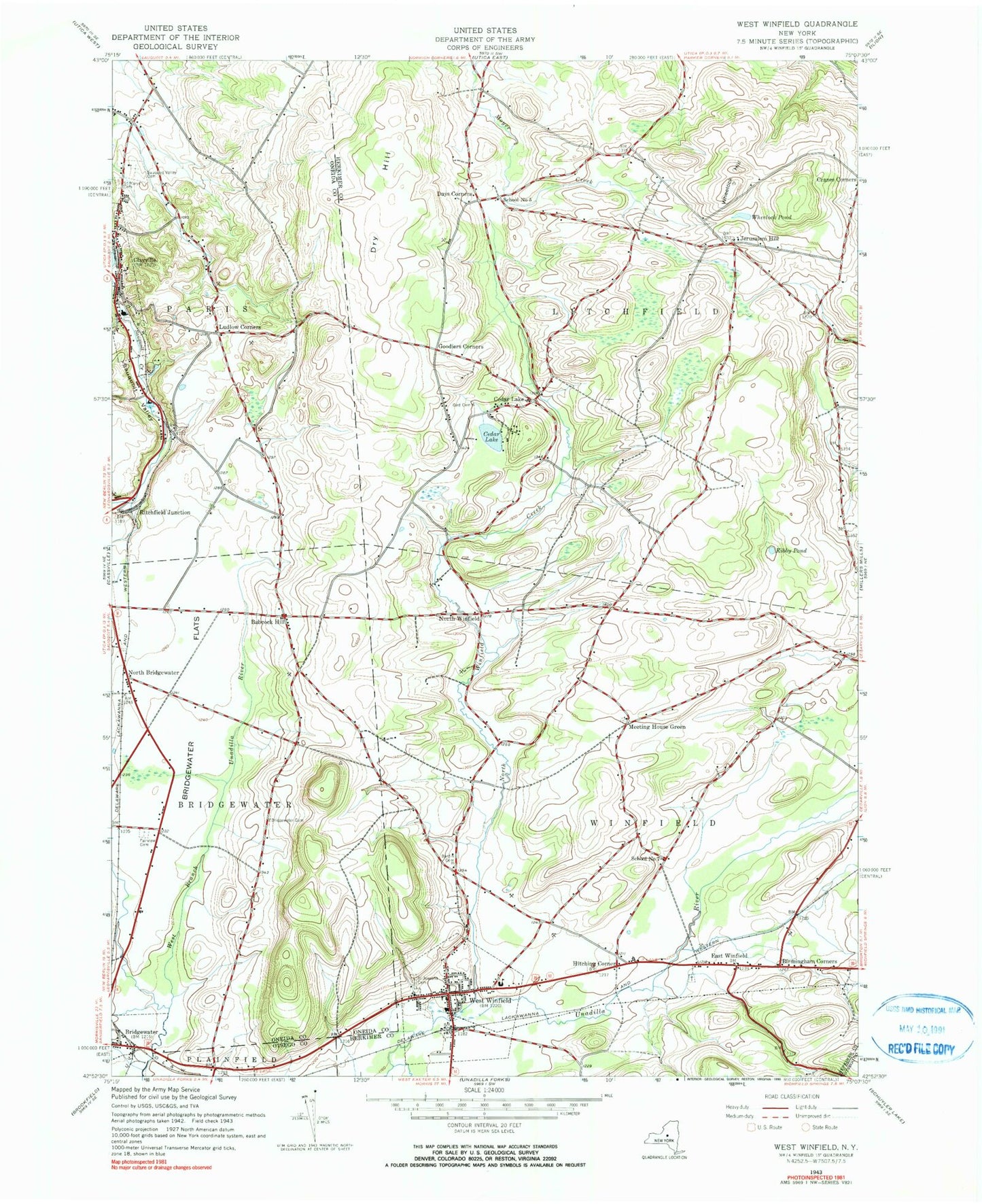
Classic USGS West Winfield New York 7.5'x7.5' Topo Map
Couldn't load pickup availability
Historical USGS topographic quad map of West Winfield in the state of New York. Map scale may vary for some years, but is generally around 1:24,000. Print size is approximately 24" x 27"
This quadrangle is in the following counties: Herkimer, Oneida, Otsego.
The map contains contour lines, roads, rivers, towns, and lakes. Printed on high-quality waterproof paper with UV fade-resistant inks, and shipped rolled.
Contains the following named places: Babcock Hill, Babcock Hill Cemetery, Bardin Cemetery, Birmingham Corners, Bridgewater Cemetery, Bridgewater Flats, Bridgewater Free Library, Cedar Lake, Cedar Lake Cemetery, Cedar Lake Club, Clayville Fire Department, Clayville Post Office, Days Corners, Dry Hill, East Winfield, East Winfield Cemetery, Fairview Cemetery, Faith Chapel, Faith Christian School, Gird Cemetery, Goodiers Corners, Hitching Corner, Jersalem Hill, Jerusalem Hill Cemetery, Kibby Pond, Ludlow Corners, Meeting House Green, Meeting House Green Cemetery, Mount Markham Elementary School, Mount Markham Middle School, Mount Markham Senior High School, North Bridgewater, North Winfield, North Winfield Creek, Oertle Field, Pine Village Estates, Ritchfield Junction, Saint Joseph's Cemetery, Saint Joseph's Church, Saint Mary's Cemetery, Sauquoit Knolls Golf Club, Sauquoit Valley, Sauquoit Valley Cemetery, School Number 5, School Number 6, School Number 7, The Federated Church, Town of Litchfield, Town of Winfield, Village of Clayville, Village of West Winfield, West Winfield, West Winfield Cemetery, West Winfield Post Office, West Winfield Volunteer Fire Department Henry Hiteman Engine and Hose Company, Wheelock Hill, Wheelock Pond, ZIP Code: 13322


