MyTopo
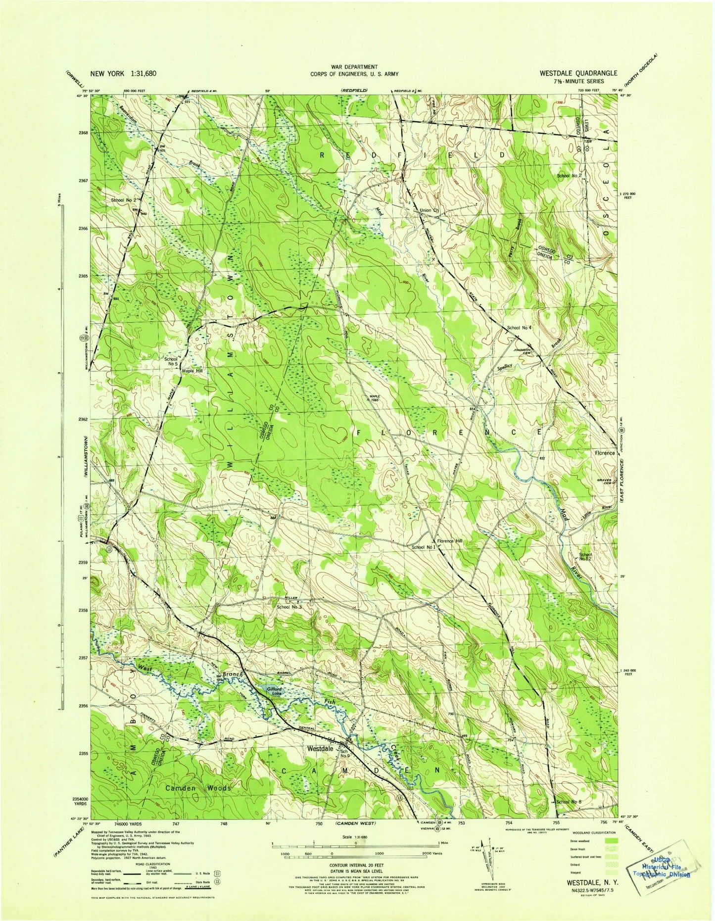
Classic USGS Westdale New York 7.5'x7.5' Topo Map
Couldn't load pickup availability
Historical USGS topographic quad map of Westdale in the state of New York. Map scale may vary for some years, but is generally around 1:24,000. Print size is approximately 24" x 27"
This quadrangle is in the following counties: Lewis, Oneida, Oswego.
The map contains contour lines, roads, rivers, towns, and lakes. Printed on high-quality waterproof paper with UV fade-resistant inks, and shipped rolled.
Contains the following named places: Camden Woods, Finnerty Hill Tree Farm, Florence Hill, Gifford Lake, Graves Cemetery, Hyatt Branch, Johnson Cemetery, Little River, Maple Hill, Perry Brook, School Number 1, School Number 12, School Number 2, School Number 3, School Number 4, School Number 5, School Number 8, School Number 9, Spellicy Brook, Union Church, Westdale, Westdale Federated Church, Westdale Post Office, ZIP Code: 13483