
MyTopo
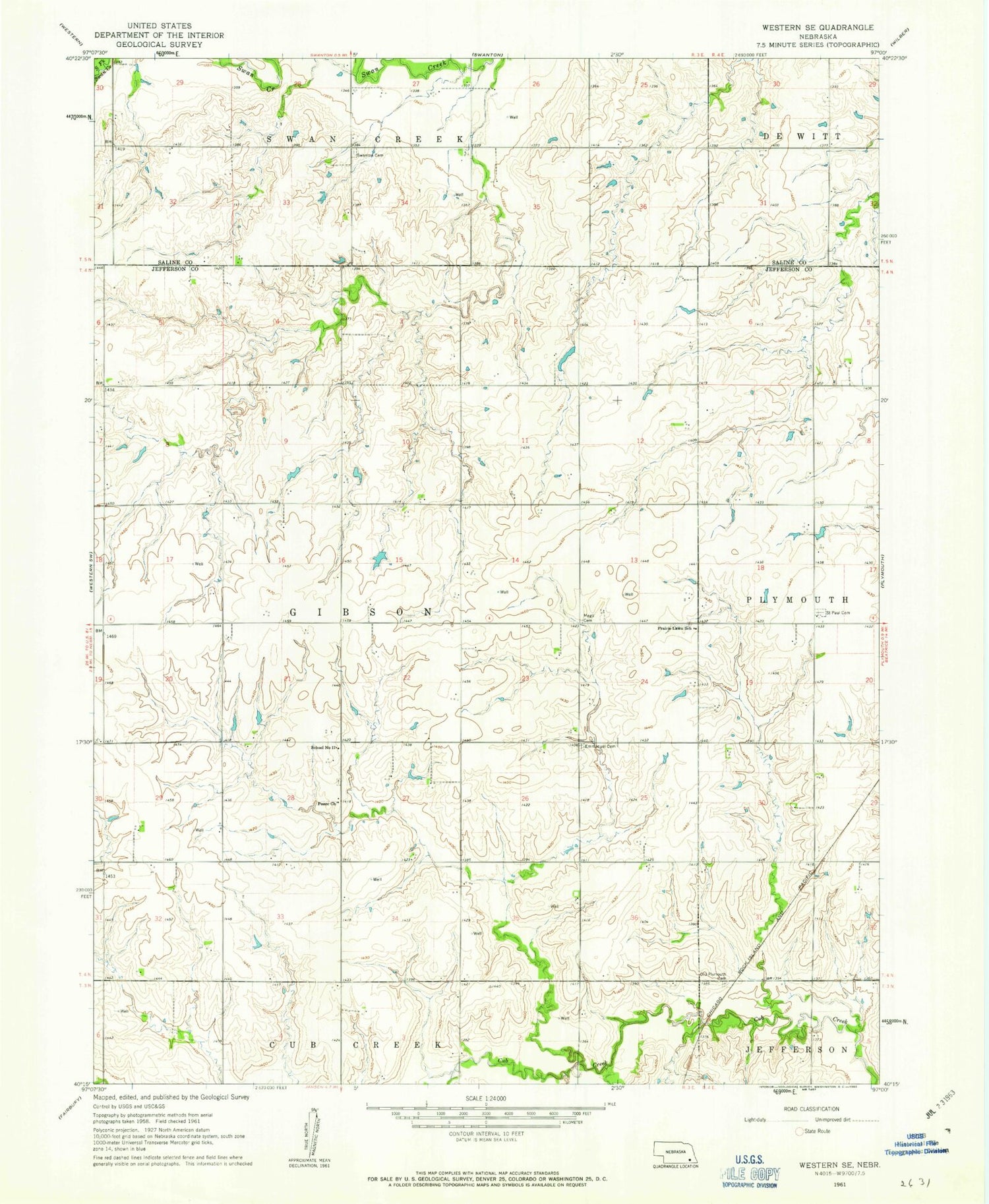
Classic USGS Western SE Nebraska 7.5'x7.5' Topo Map
Couldn't load pickup availability
Historical USGS topographic quad map of Western SE in the state of Nebraska. Map scale may vary for some years, but is generally around 1:24,000. Print size is approximately 24" x 27"
This quadrangle is in the following counties: Jefferson, Saline.
The map contains contour lines, roads, rivers, towns, and lakes. Printed on high-quality waterproof paper with UV fade-resistant inks, and shipped rolled.
Contains the following named places: Cub Creek Dam 12-D, Cub Creek Reservoir 10-A, Cub Creek Reservoir 12-C, Cub Creek Reservoir 12-D, Emmanuel Cemetery, Floodwater Retarding Dam 10-A, Floodwater Retarding Dam 12-C, Gibson Election Precinct, Megli Cemetery, Old Plymouth Cemetery, Peace Church, Prairie Lawn School, Saint Paul's Lutheran Cemetery, School Number 17, Swan Valley Cemetery, Township of Gibson, ZIP Code: 68424


