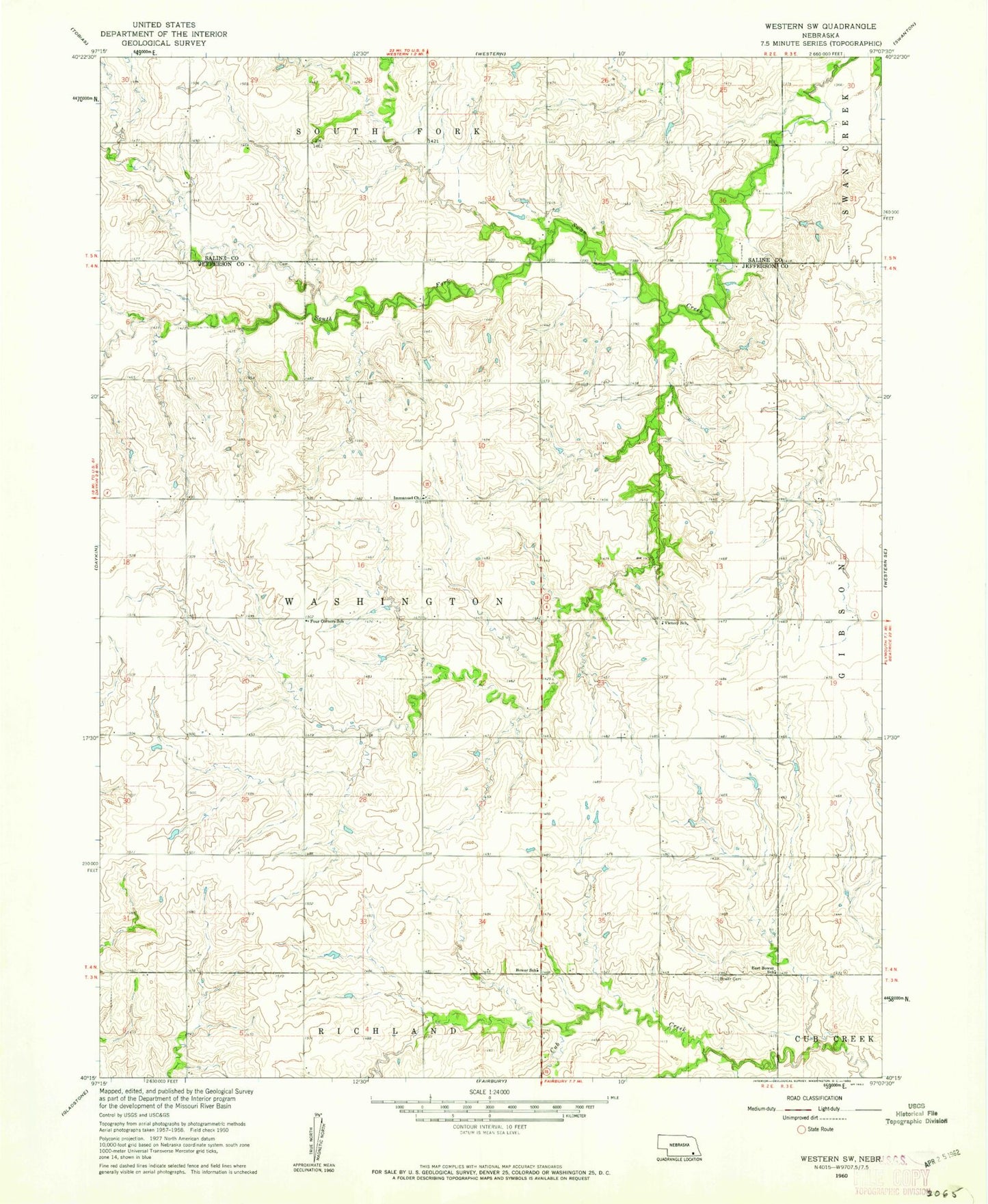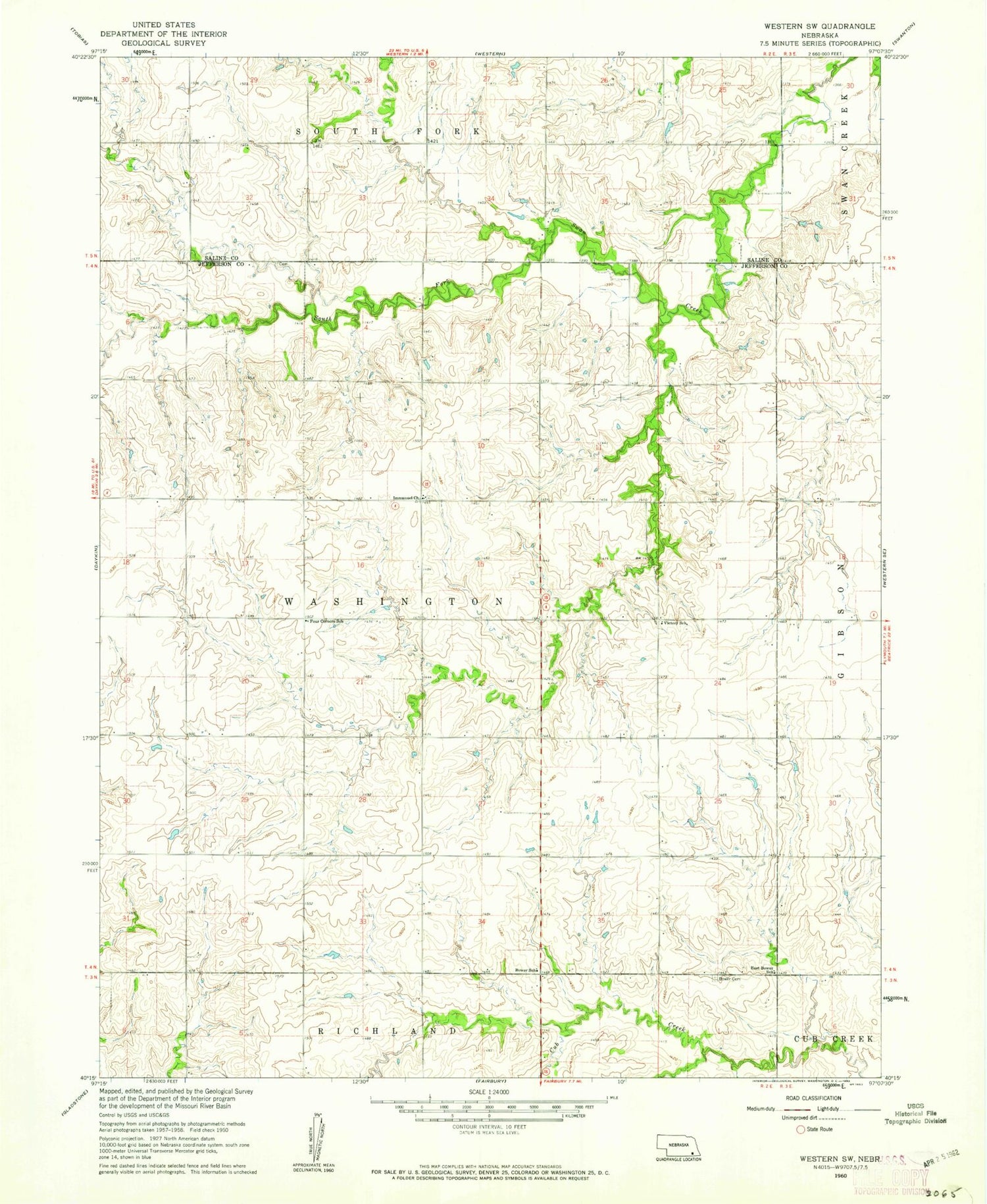
MyTopo
Classic USGS Western SW Nebraska 7.5'x7.5' Topo Map
Couldn't load pickup availability
Historical USGS topographic quad map of Western SW in the state of Nebraska. Map scale may vary for some years, but is generally around 1:24,000. Print size is approximately 24" x 27"
This quadrangle is in the following counties: Jefferson, Saline.
The map contains contour lines, roads, rivers, towns, and lakes. Printed on high-quality waterproof paper with UV fade-resistant inks, and shipped rolled.
Contains the following named places: Bower, Bower Cemetery, Bower Post Office, Bower School, Cub Creek Dam 14-C, Cub Creek Dam 17-A, Cub Creek Reservoir 14-C, Cub Creek Reservoir 15-B, Cub Creek Reservoir 17-A, Cub Creek Reservoir 17-C, Detention Dam 17-C, East Bower School, Floodwater Retarding Dam 15-B, Four Corners School, Harold Hummel Erosion Control Dam, Herz Pohlmeier Dam, Herz Reservoir, Hummel Reservoir, Immanuel Church, Jarchow Dam, Jarchow Reservoir, Murphy Dam, Murphy Reservoir, Schwisow Dam, Schwisow Reservoir, Township of Washington, Victory School, Washington Election Precinct