
MyTopo
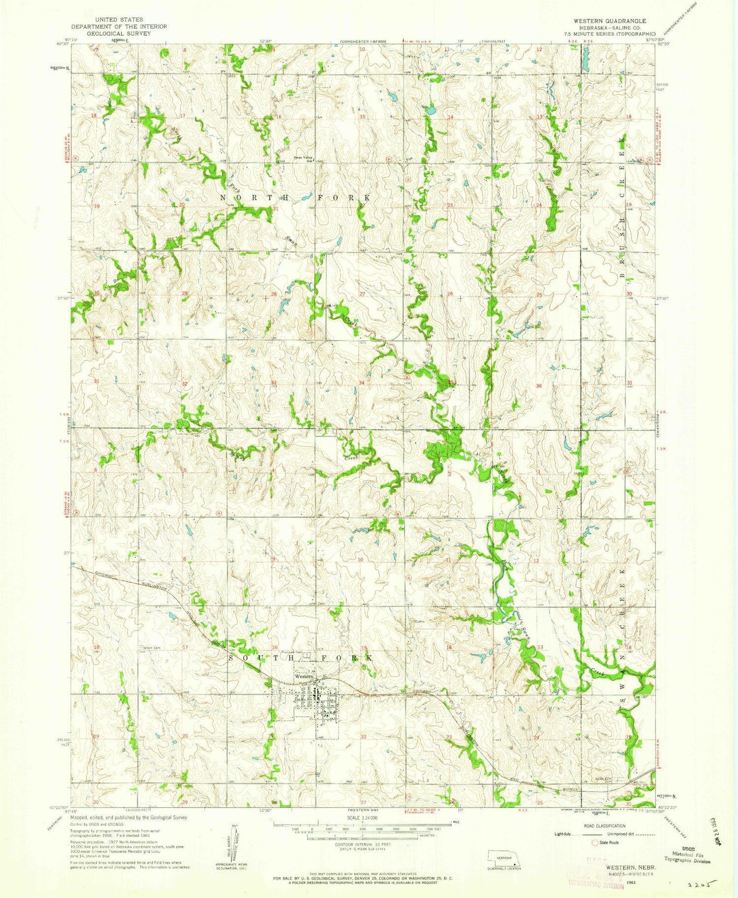
Classic USGS Western Nebraska 7.5'x7.5' Topo Map
Couldn't load pickup availability
Historical USGS topographic quad map of Western in the state of Nebraska. Map scale may vary for some years, but is generally around 1:24,000. Print size is approximately 24" x 27"
This quadrangle is in the following counties: Saline.
The map contains contour lines, roads, rivers, towns, and lakes. Printed on high-quality waterproof paper with UV fade-resistant inks, and shipped rolled.
Contains the following named places: Farmers Cooperative Elevators, First Baptist Church, Kreshal Dam, Kreshal Reservoir, North Fork Election Precinct, Plainview Cemetery, Saint Johns United Church of Christ, South Fork Cemetery, South Fork Election Precinct, Spring Creek, Struckman-Baatz Memorial Library, Swan Valley School, Township of North Fork, Township of South Fork, Union Cemetery, United Methodist Church, Village of Western, Western, Western City Park, Western Post Office, Western Public School, Western Village Park Campground, Western Volunteer Fire Department, ZIP Code: 68464


