MyTopo
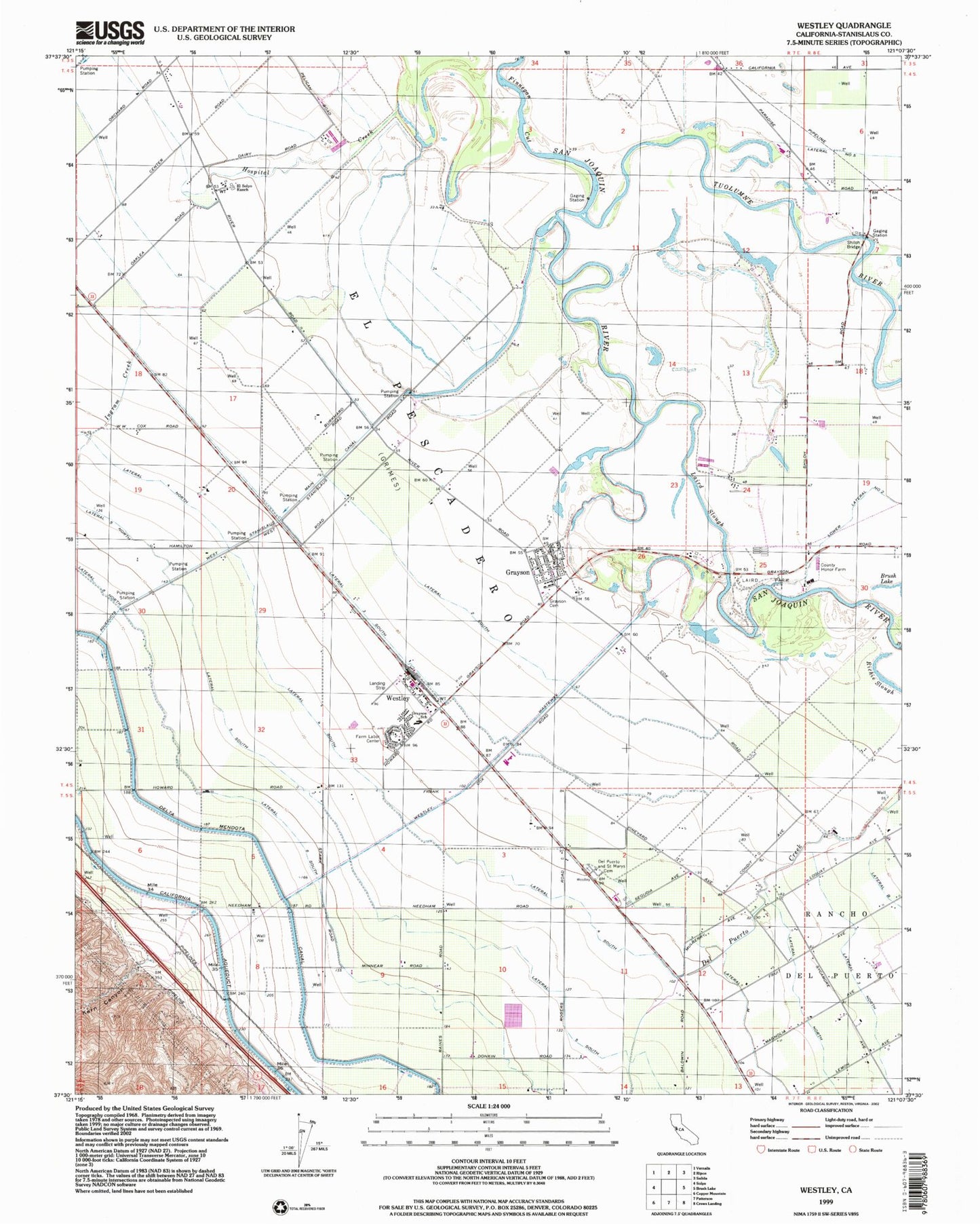
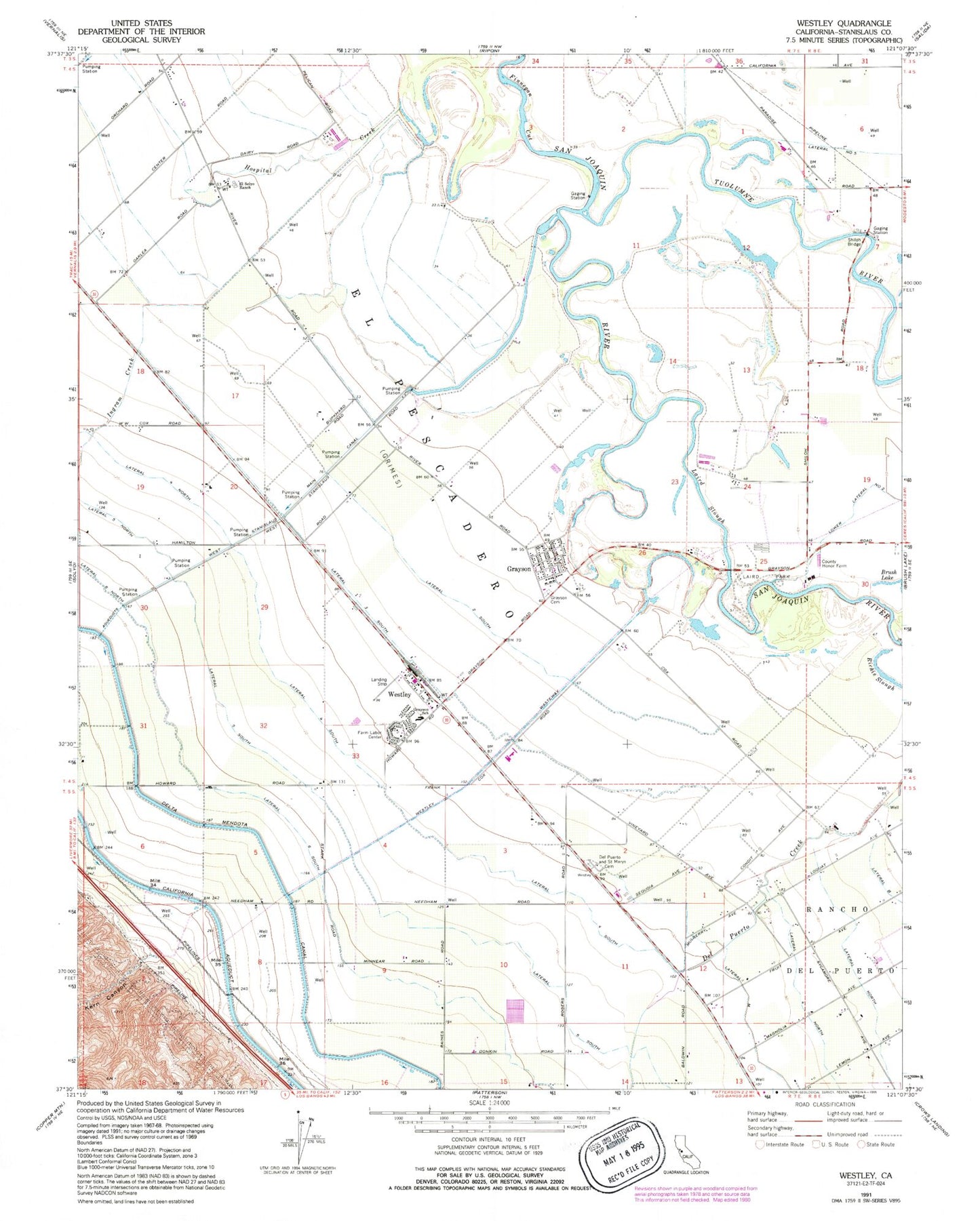
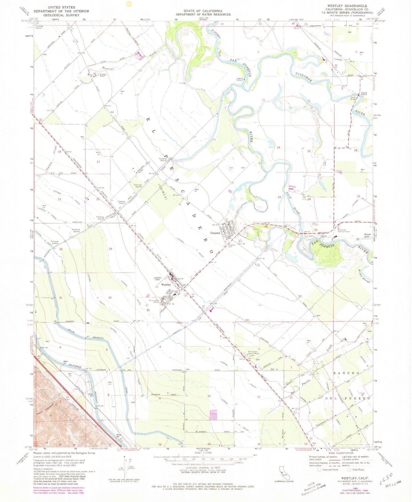
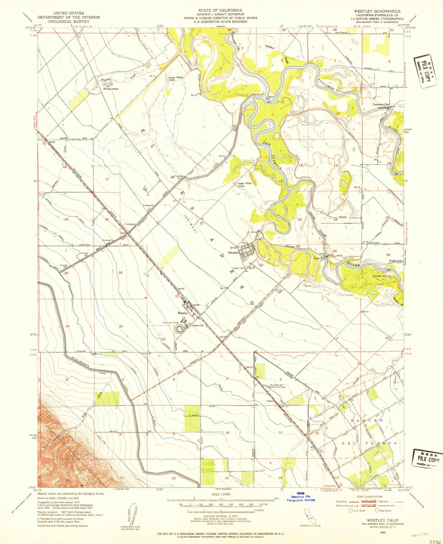
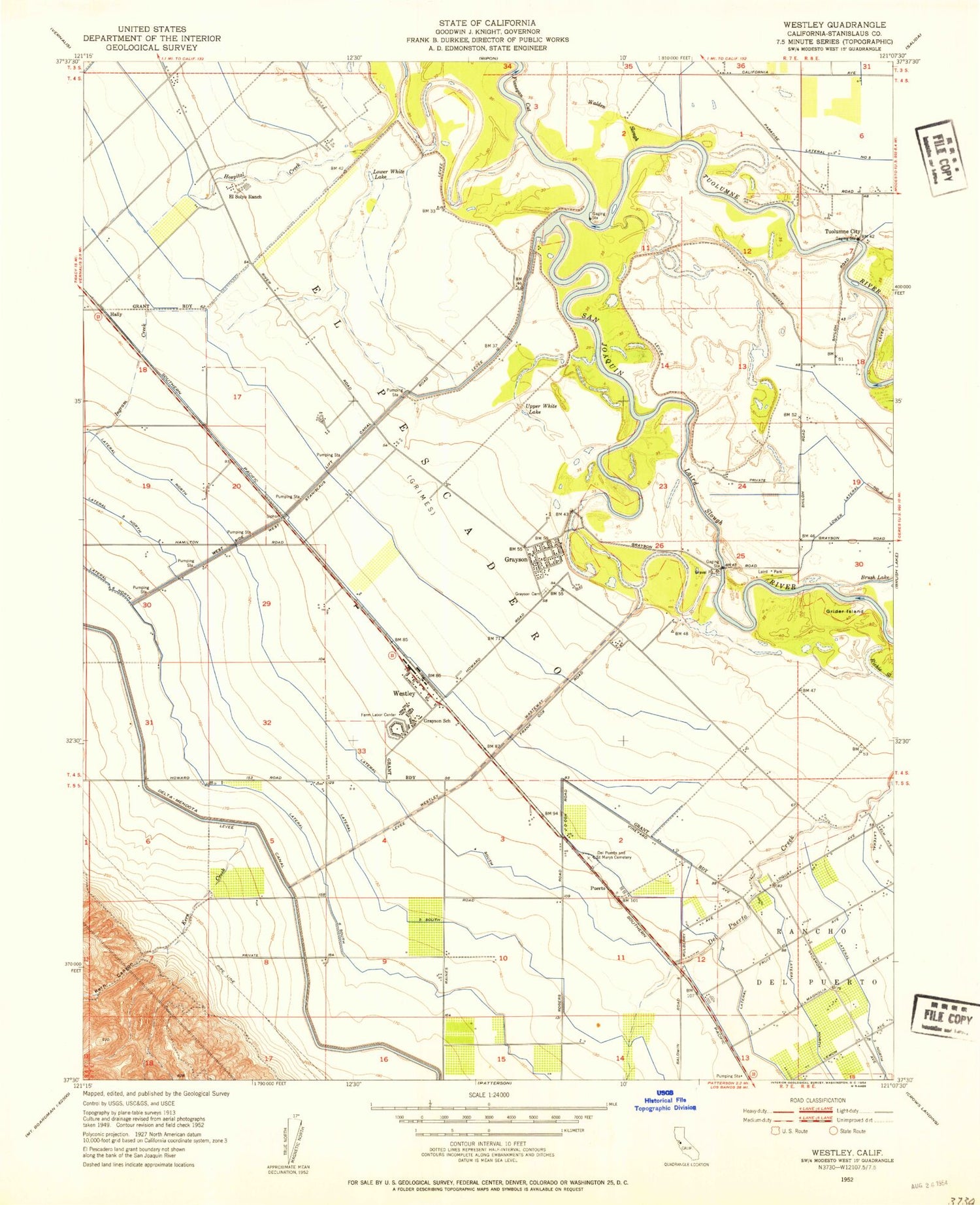
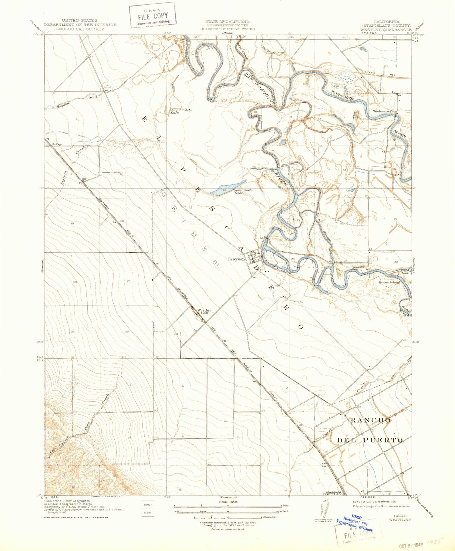
Classic USGS Westley California 7.5'x7.5' Topo Map
Couldn't load pickup availability
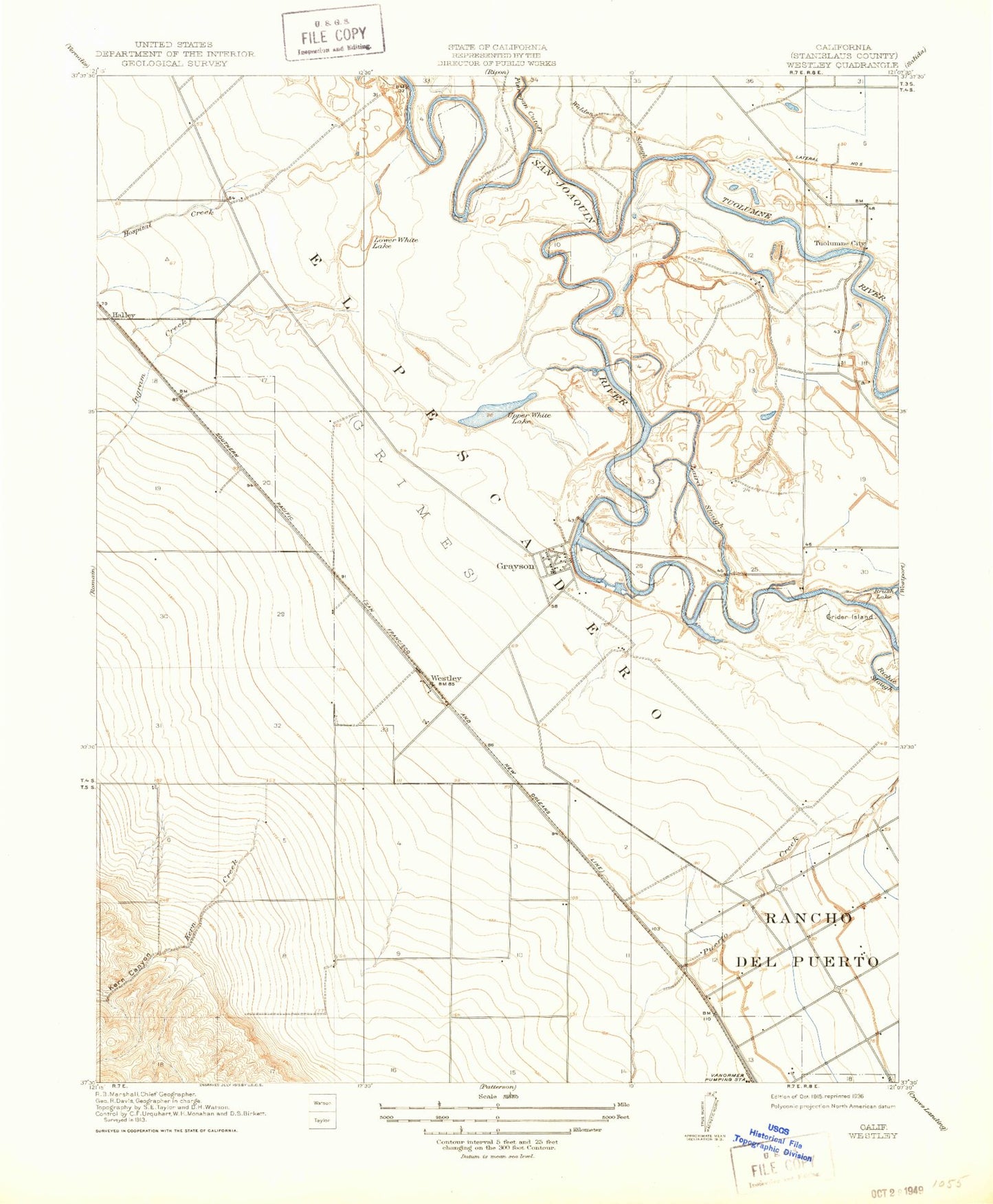
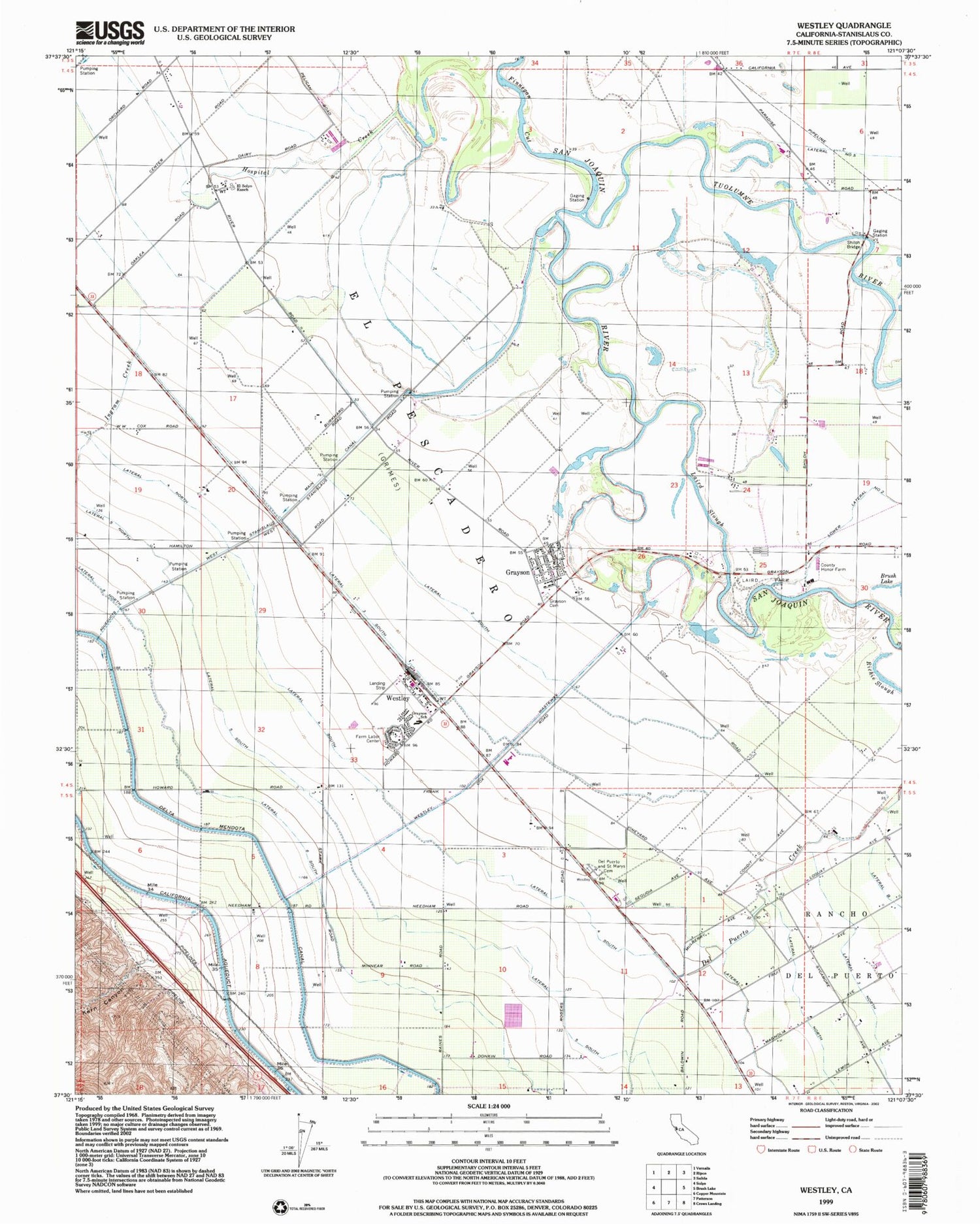
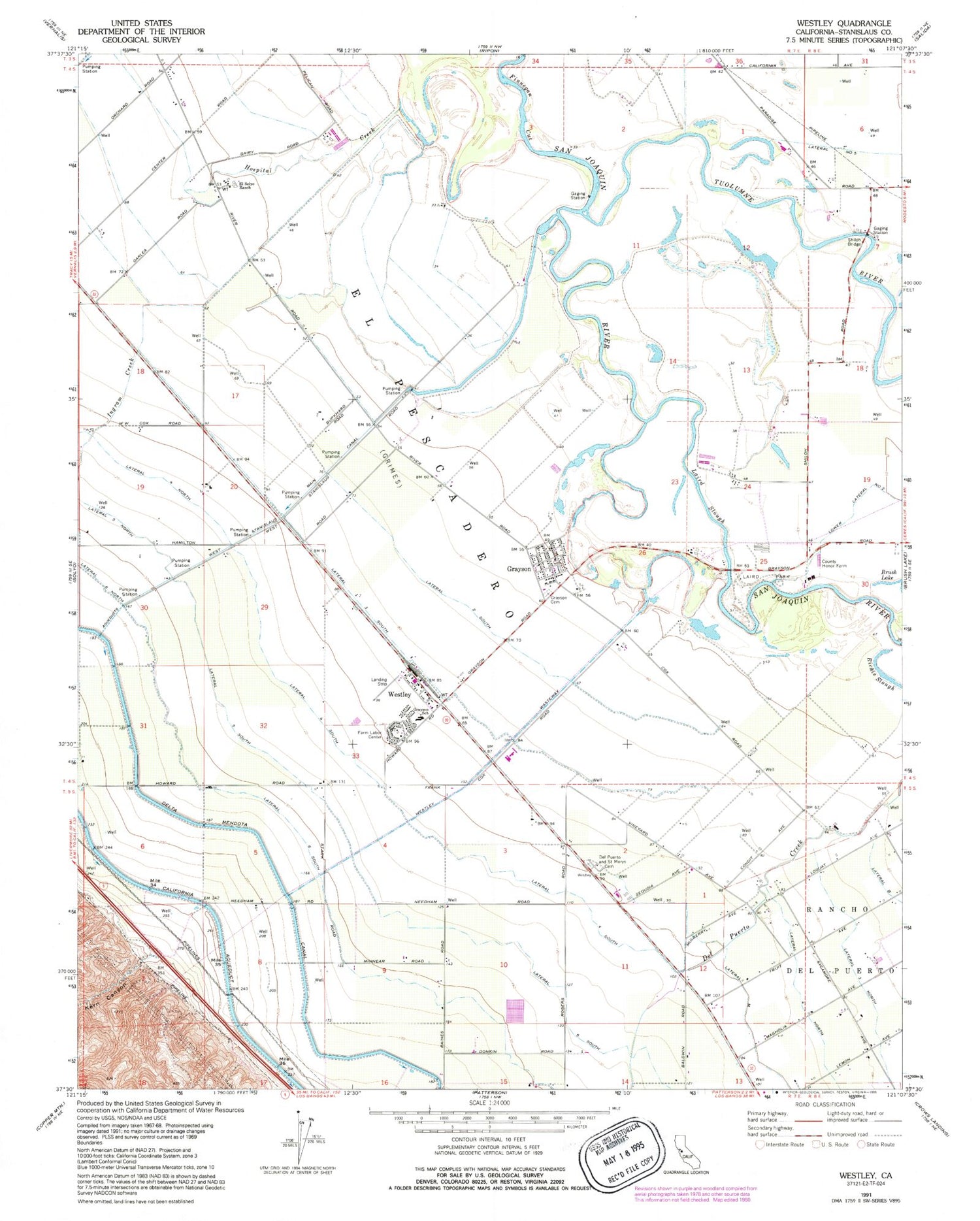
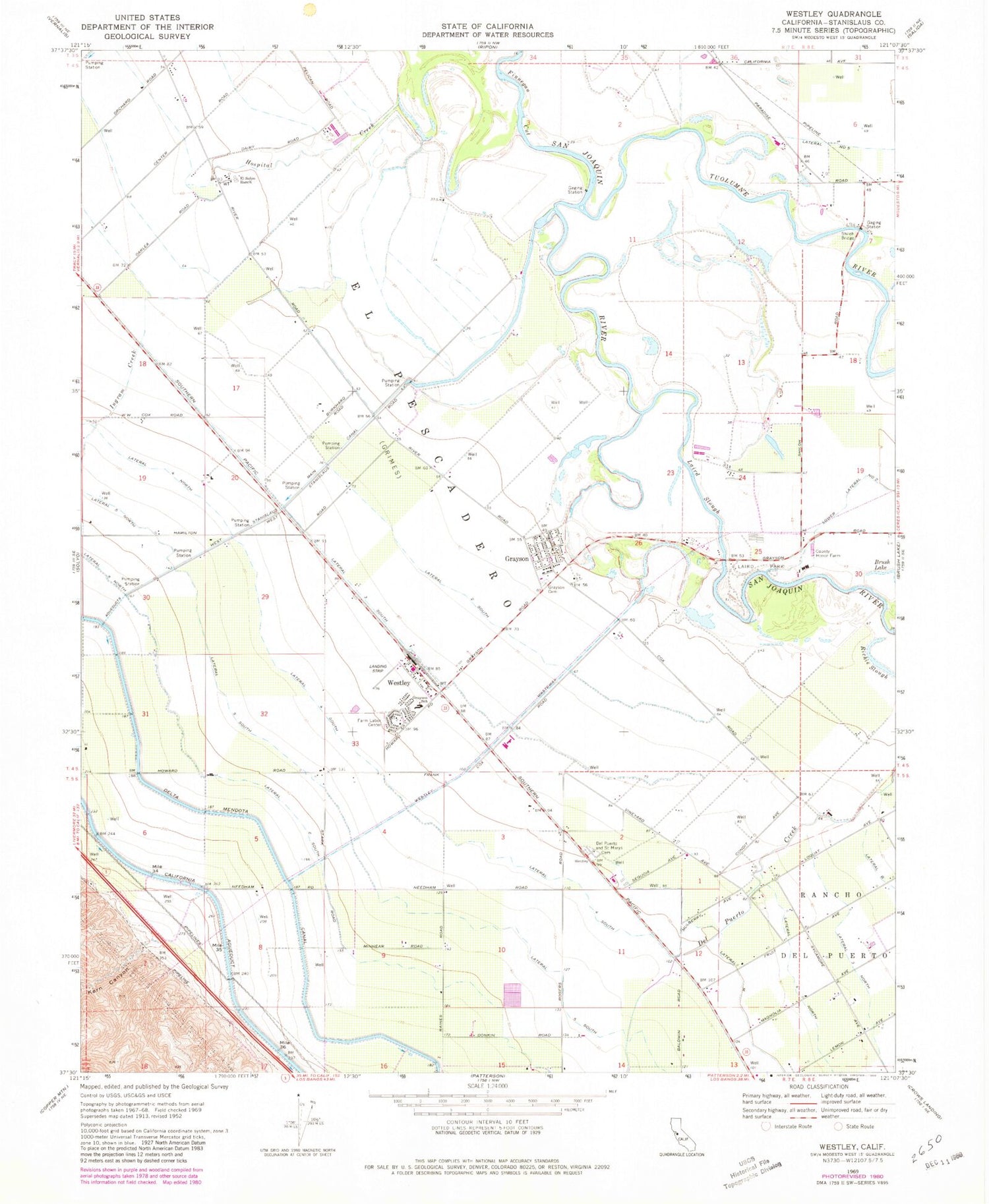
Historical USGS topographic quad map of Westley in the state of California. Map scale may vary for some years, but is generally around 1:24,000. Print size is approximately 24" x 27"
This quadrangle is in the following counties: Stanislaus.
The map contains contour lines, roads, rivers, towns, and lakes. Printed on high-quality waterproof paper with UV fade-resistant inks, and shipped rolled.
Contains the following named places: Bizzini Farm, Del Mar Farms Airport, El Solyo Ranch, Finnegan Cut, Flying Bull Airport, Grayson, Grayson Cemetery, Grayson Census Designated Place, Grayson Charter School, Grider Island, Halley, Hidden Valley Dairy, Honor Farm Sheriff's Department, Hospital Creek, Ingram Creek, Kern Canyon, Laird Park, Laird Slough, Lateral Four South, Lateral Three South, Lateral Two South, Lower White Lake, Patterson District Cemetery, Richie Slough, Shiloh Bridge, Tuolumne City, Tuolumne River, Upper White Lake, Valley Crop Dusters Inc Airport, West Stanislaus County Fire Protection District El Solyo Station 4, West Stanislaus County Fire Protection District Westley Station 3, West Stanislaus Main Canal, Westley, Westley Census Designated Place, Westley Post Office, Westley Wasteway, ZIP Code: 95385
