MyTopo
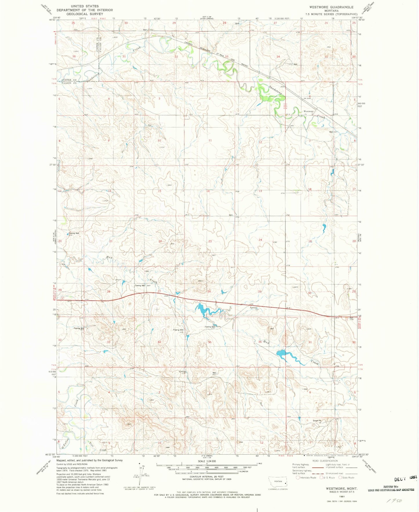
Classic USGS Westmore Montana 7.5'x7.5' Topo Map
Couldn't load pickup availability
Historical USGS topographic quad map of Westmore in the state of Montana. Map scale may vary for some years, but is generally around 1:24,000. Print size is approximately 24" x 27"
This quadrangle is in the following counties: Custer, Fallon.
The map contains contour lines, roads, rivers, towns, and lakes. Printed on high-quality waterproof paper with UV fade-resistant inks, and shipped rolled.
Contains the following named places: 07N57E06AC__01 Well, 08N56E01BB__01 Well, 08N56E01CAAD01 Well, 08N56E10AB__01 Well, 08N56E15AD__01 Well, 08N56E25DC__01 Well, 08N56E27BCDA01 Well, 08N56E29AC__01 Well, 08N56E29CDA_01 Well, 08N56E34ACA_01 Well, 08N57E05CCAD01 Well, 08N57E06CDDC01 Well, 08N57E06DBCA01 Well, 08N57E18BC__01 Well, 08N57E20CC__01 Well, 08N57E32BA__01 Well, 09N55E25CD__01 Well, 09N55E25DC__01 Well, 09N56E28DDBC01 Well, 09N56E30DDDD01 Well, 09N56E31DA__01 Well, Columbia Elevator, Congregational Church, Ehret Land Reservoir Dam, Farmers Elevator, Pine Creek, Plevna Division, Westmore, Westmore Post Office, Westmore School