MyTopo
Classic USGS Westover Alabama 7.5'x7.5' Topo Map
Couldn't load pickup availability
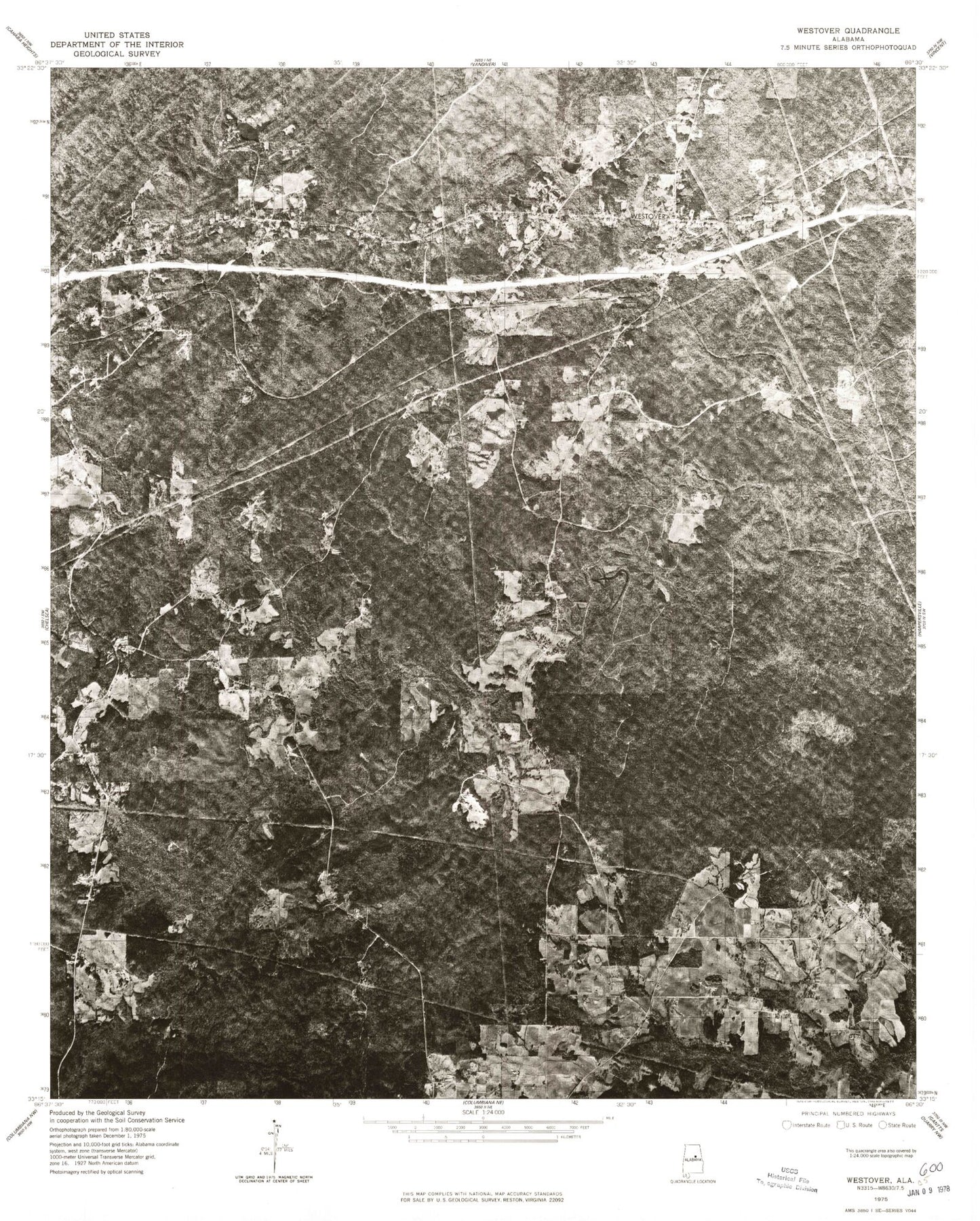
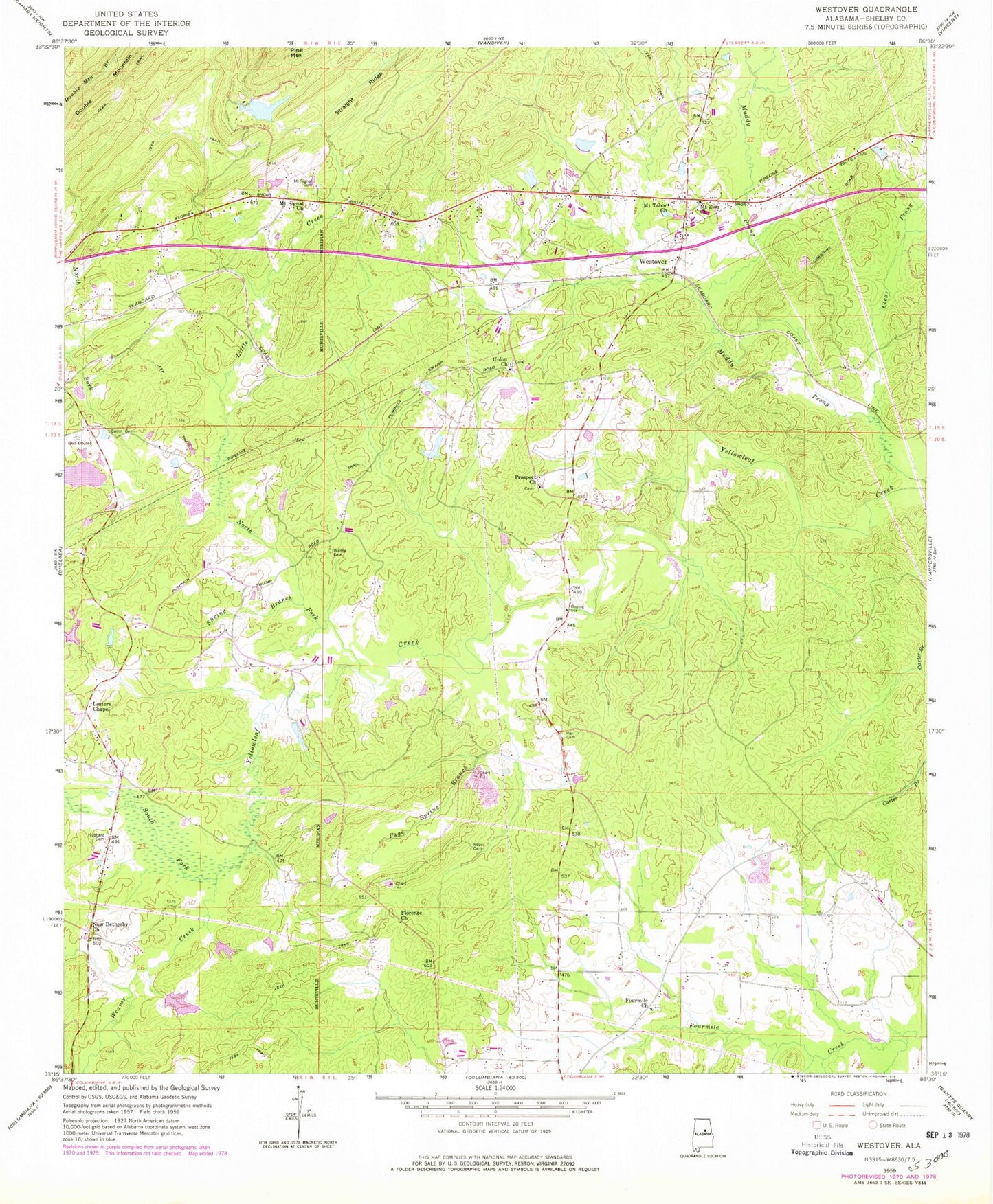
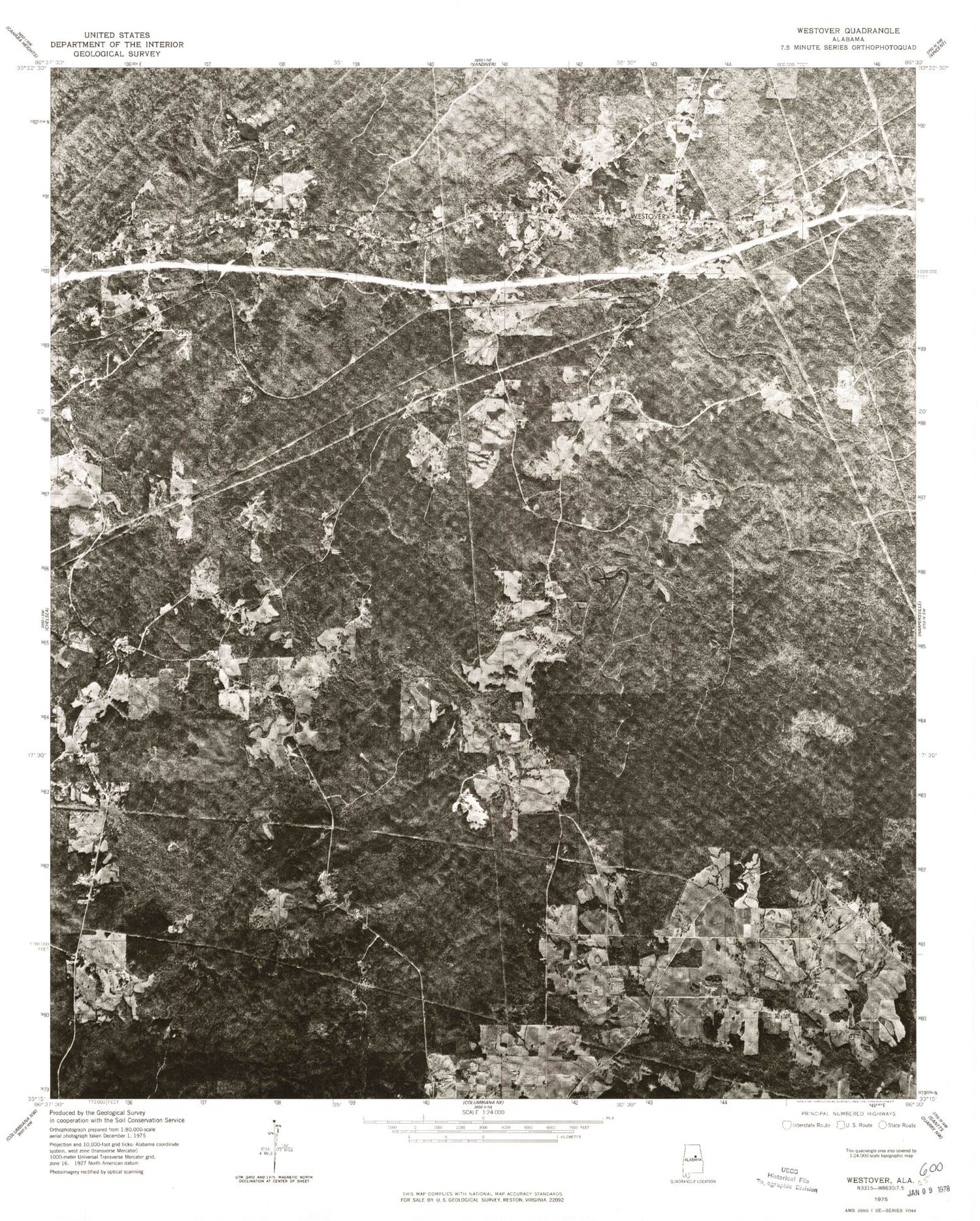
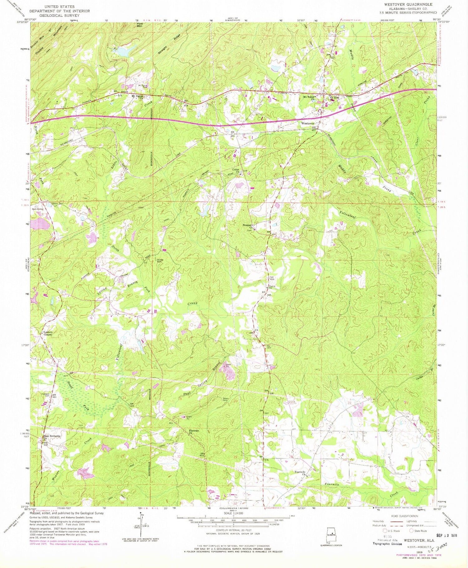
Historical USGS topographic quad map of Westover in the state of Alabama. Map scale may vary for some years, but is generally around 1:24,000. Print size is approximately 24" x 27"
This quadrangle is in the following counties: Shelby.
The map contains contour lines, roads, rivers, towns, and lakes. Printed on high-quality waterproof paper with UV fade-resistant inks, and shipped rolled.
Contains the following named places: Caldwell Lake, Caldwell Lake Dam, Camp Kanawahala, Chelsea Church, Chelsea Fire and Rescue Department Station 33, Church of Prophecy, Clear Prong, Days Crossroads, Florence Baptist Church, Florence Cemetery, Fourmile Baptist Church, Fourmile Cemetery, Fourmile School, Girl Scout Lake Dam, Hargis Christian Retreat, Hargis Lake, Hargis Memorial Chapel, Hubbard Cemetery, Indian Hills Country Club, Kirkland Cemetery, Lake Hargis Dam, Lesters Chapel, Lewis, Liberty Church, Little Creek, Living Waters Ministries Church, Mount Signal Cemetery, Mount Signal Church, Mount Tabor Church, Mount Zion Church, Nelson Mill, New Bethesby Church, New Life Assembly Church, North Fork Yellowleaf Creek, Oasis Faith Chapel Church, Page Spring Branch, Poplar Spring Branch, Prospect Baptist Church, Prospect Cemetery, Purdy Lake, Purdy Lake Dam, Quinn Cemetery, Ray Cemetery, Roper Cemetery, Shelby County Landfill Number 2, South Fork Yellowleaf Creek, Spring Branch, Teague Bridge, Tinney Mill, Town of Westover, Union Cemetery, Union Methodist Church, Walton Cemetery, Weaver Creek, Weldon, Westover, Westover Church, Westover Fire and Rescue Department, Westover Junction, Westover Post Office, Westover Volunteer Fire Department, Wilsonville Division, Yellowleaf Creek Estates, ZIP Code: 35186


