MyTopo
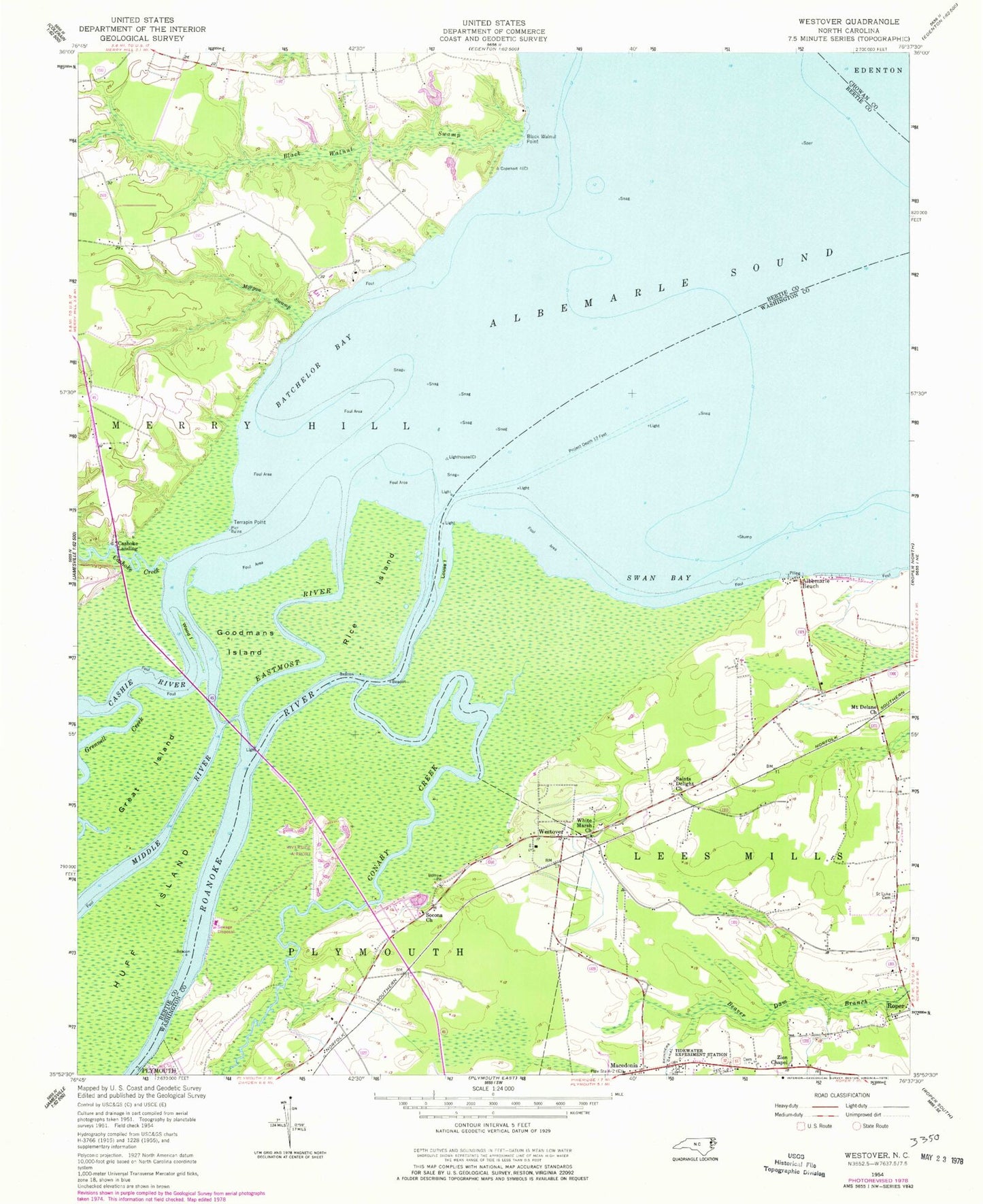
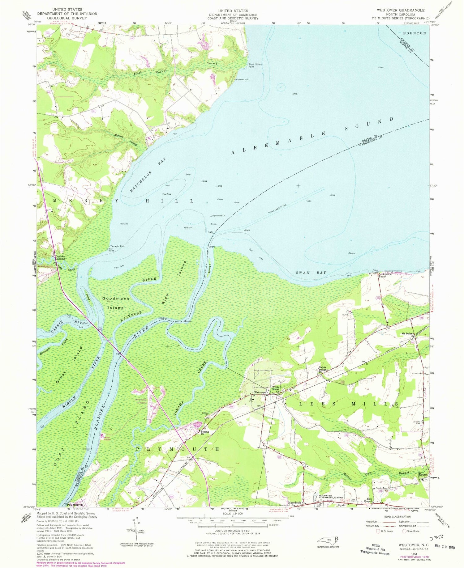
Classic USGS Westover North Carolina 7.5'x7.5' Topo Map
Couldn't load pickup availability
Historical USGS topographic quad map of Westover in the state of North Carolina. Map scale may vary for some years, but is generally around 1:24,000. Print size is approximately 24" x 27"
This quadrangle is in the following counties: Bertie, Chowan, Washington.
The map contains contour lines, roads, rivers, towns, and lakes. Printed on high-quality waterproof paper with UV fade-resistant inks, and shipped rolled.
Contains the following named places: Albemarle Beach, Batchelor Bay, Black Walnut Point, Buncombe Hall, Cashie River, Cashoke Creek, Cashoke Landing, Conaby Creek, Eastmost River, Elmwood, Freemans Landing, Goodmans Island, Great Island, Grennell Creek, Huff Island, Louse Island, Macedonia, Macedonia Church, Middle River, Morgan Swamp, Mount Delane Church, Peterson, Purchase Islands, Rice Island, Riverside Airport, Roanoke River, Saint Luke Cemetery, Saints Delight Church, Socona Church, Swain, Swan Bay, Terrapin Point, Tidewater Experiment Station, Westover, White Marsh Church, Wood Island, Zion Chapel


