MyTopo
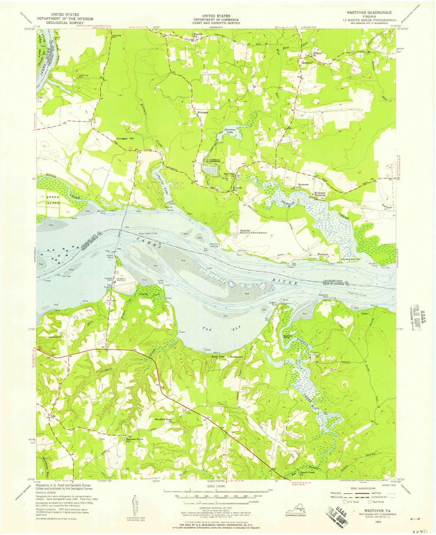
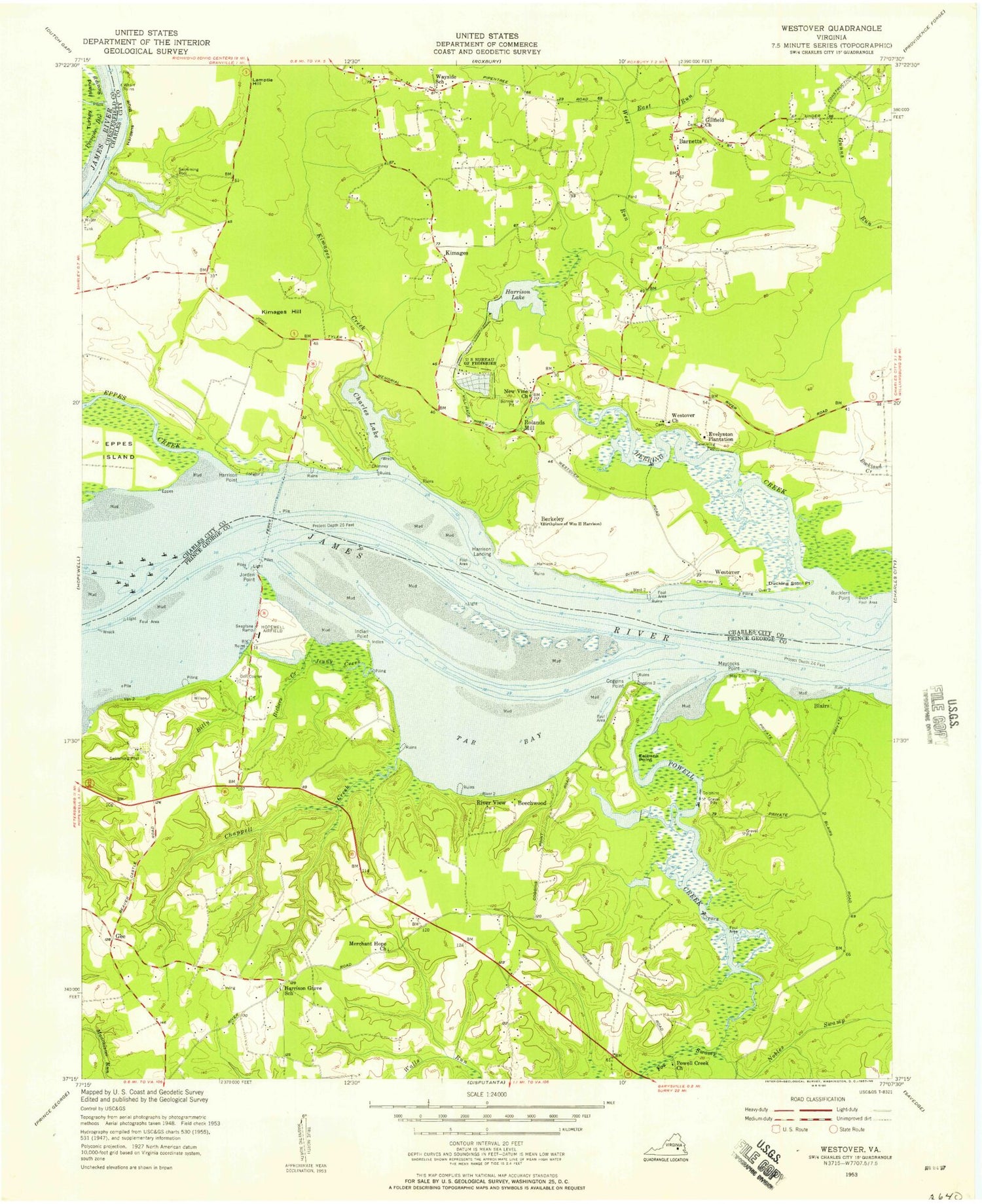
Classic USGS Westover Virginia 7.5'x7.5' Topo Map
Couldn't load pickup availability
Historical USGS topographic quad map of Westover in the state of Virginia. Map scale may vary for some years, but is generally around 1:24,000. Print size is approximately 24" x 27"
This quadrangle is in the following counties: Charles City, Chesterfield, Prince George.
The map contains contour lines, roads, rivers, towns, and lakes. Printed on high-quality waterproof paper with UV fade-resistant inks, and shipped rolled.
Contains the following named places: Barnetts, Beaver Castle Mobile Home Park, Beechwood, Beechwood Manor, Benjamin Harrison Memorial Bridge, Berkeley, Berkeley Plantation, Bermuda Run Education Center, Bickers Creek, Billy Creek, Blairs, Bucklers Point, Camp Weyanoke, Chappell Creek, Charles Lake, Charles Lake Dam, Coggins Point, Ducking Stool Point, East Run, Edgewood Plantation, Eelbank Point, Enochs Dam, Eppes Creek, Evelynton Heights, Evelynton Plantation, Evergreen Plantation, Freetown, Gillfield Church, Hardens Bluff, Harrison Dam, Harrison Grove Cemetery, Harrison Grove Church, Harrison Lake, Harrison Lake National Fish Hatchery, Harrison Point, Harrisons Landing, Harrisons Point, Haxall, Henshaw Airport, Herring Creek, Indian Point, James River National Wildlife Refuge, Jenny Creek, Jordan Point, Jordan Point Country Club, Jordan Point Manor, Jordan Point Marina, Jordans Point, Kimages, Kimages Creek, Kimages Hill, Kimmages Wharf, Lamptie Hill, Maycock Plantation, Maycocks Point, Merchant Hope Church, Merchants Hope, Merchants Hope Cemetery, New Vine Church, Nobles Swamp, Pilots Grove Airport, Powell Creek, Powell Creek Church, River View, Rivers Edge, Rivers Edge Bible Church, Rolands Mill, Ruffin Ridge Farms, Tar Bay, Walls Run, Wayside, West Run, Westover, Westover Church, Westover Post Office, ZIP Code: 23860


