MyTopo
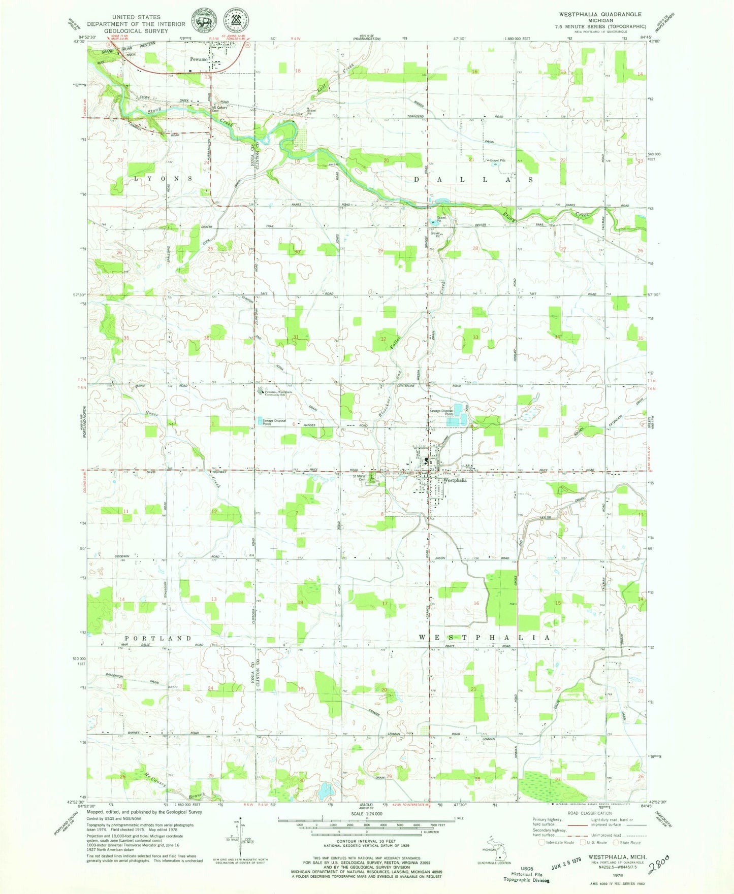
Classic USGS Westphalia Michigan 7.5'x7.5' Topo Map
Couldn't load pickup availability
Historical USGS topographic quad map of Westphalia in the state of Michigan. Map scale may vary for some years, but is generally around 1:24,000. Print size is approximately 24" x 27"
This quadrangle is in the following counties: Clinton, Ionia.
The map contains contour lines, roads, rivers, towns, and lakes. Printed on high-quality waterproof paper with UV fade-resistant inks, and shipped rolled.
Contains the following named places: Arens Brothers Dairy Farm, Brandilyn Farm, Clinton and Ionia Drain, Cook Drain, County Line Dairy, E R Dairy Farm, Gross and Taylor Drain, Havengreen Organic Dairy, Hengesbach Farms, Hufnagel Dairy, Kloeckner and Fuller Creek, Lehman Drain, Lost Creek, Maple Corners Cemetery, Morris Drain, Mount Calvary Cemetery, Nurenberg Farms, Oak View Farm, Pewamo-Westphalia Community School, Platte Farms, Saint Mary's Catholic Church, Saint Marys Cemetery, Saint Mary's Parish Historical Marker, Saint Mary's School, Schafer Farms, Spaulding Cemetery, Thelen Farms, Thome and Wieber Drain, Township of Dallas, Township of Westphalia, Village of Westphalia, Westphalia, Westphalia Post Office, Westphalia Settlement Historical Marker, Westphalia Township Fire Department, Wieber Drain, ZIP Codes: 48873, 48894


