
MyTopo
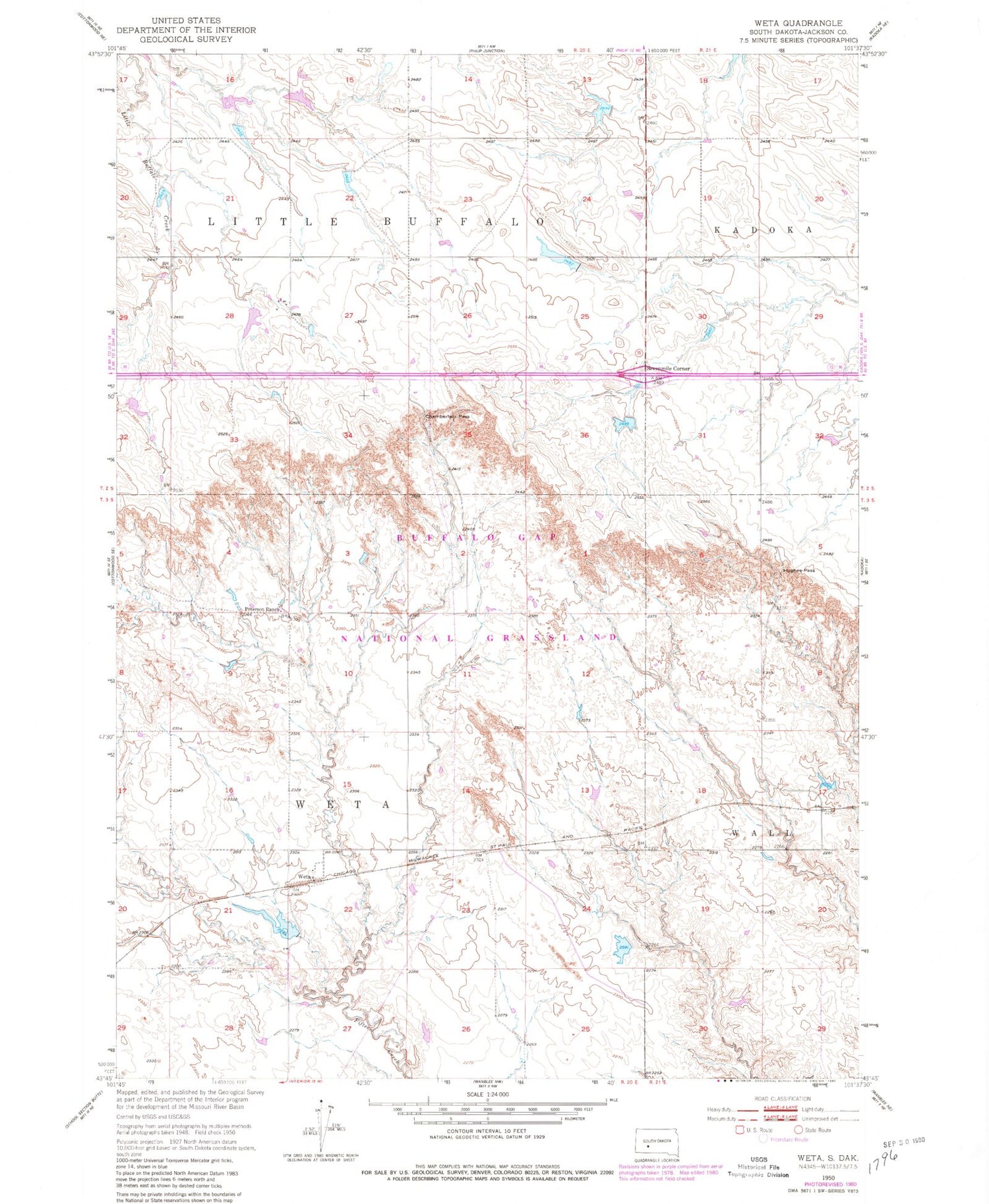
Classic USGS Weta South Dakota 7.5'x7.5' Topo Map
Couldn't load pickup availability
Historical USGS topographic quad map of Weta in the state of South Dakota. Map scale may vary for some years, but is generally around 1:24,000. Print size is approximately 24" x 27"
This quadrangle is in the following counties: Jackson.
The map contains contour lines, roads, rivers, towns, and lakes. Printed on high-quality waterproof paper with UV fade-resistant inks, and shipped rolled.
Contains the following named places: Boock School, Boocke Number 2 Dam, Boocke Reservoir, Chamberlain Pass, Dave Peterson Number 3 Dam, Dave Peterson Number 4 Dam, Hughes Pass, Pat Stout Number 1 Dam, Peterson Ranch, Roy Stout Number 1 Dam, Roy Stout Number 2 Dam, Sevenmile Corner, Township of Little Buffalo, Township of Weta, Weller Number 1 Dam, Weta


