MyTopo
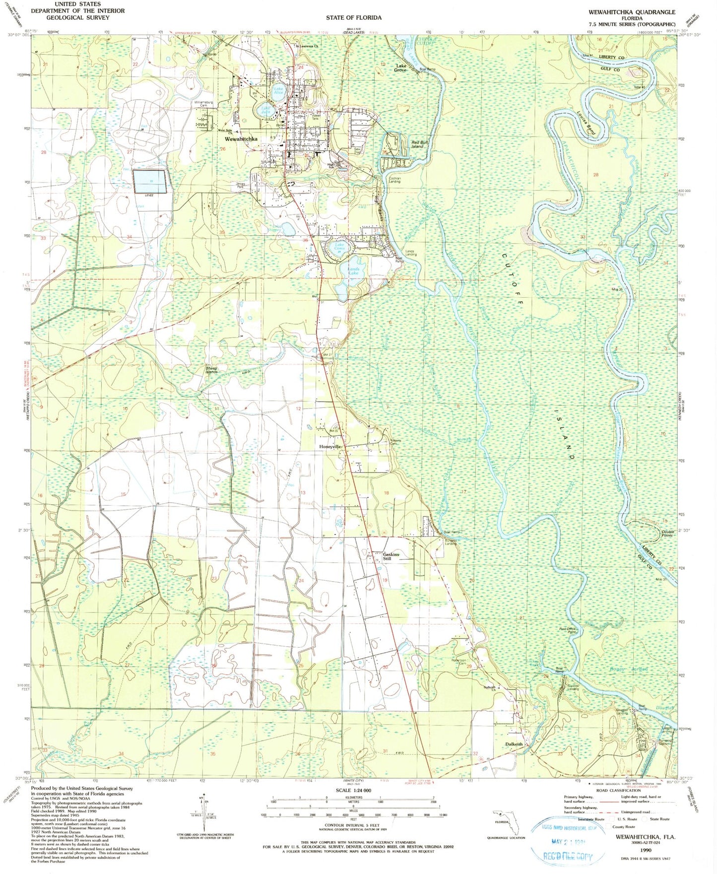
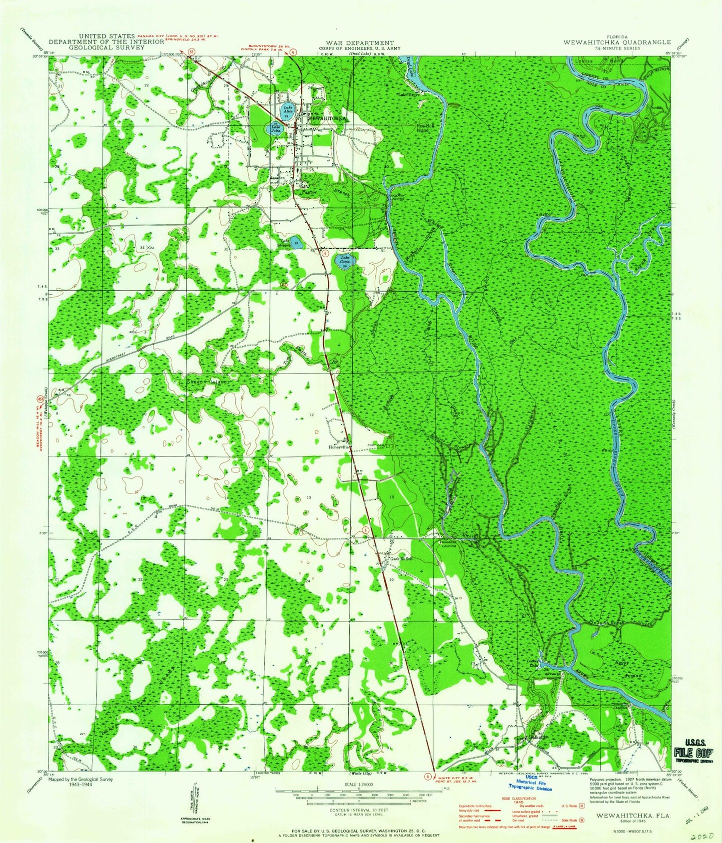
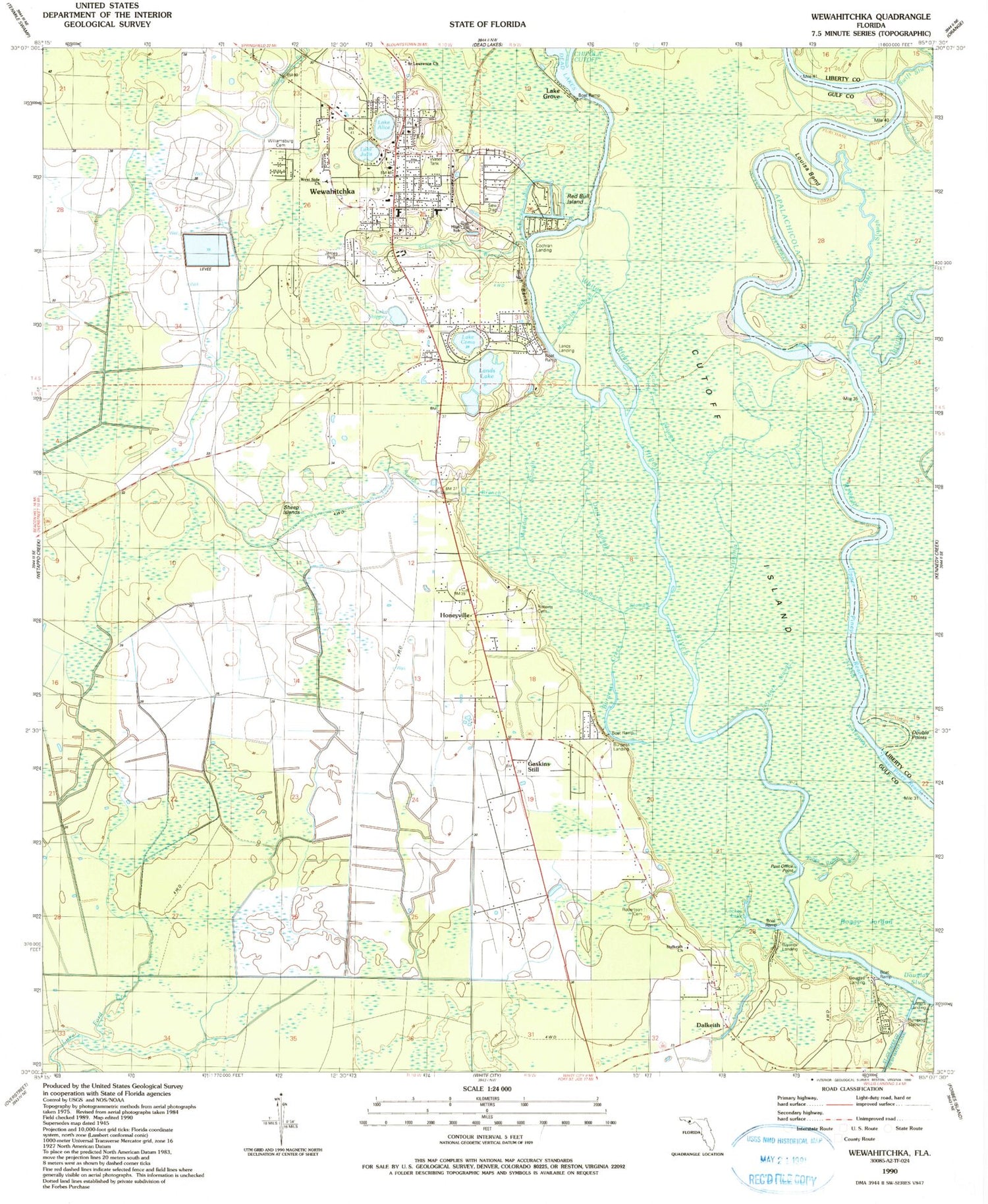
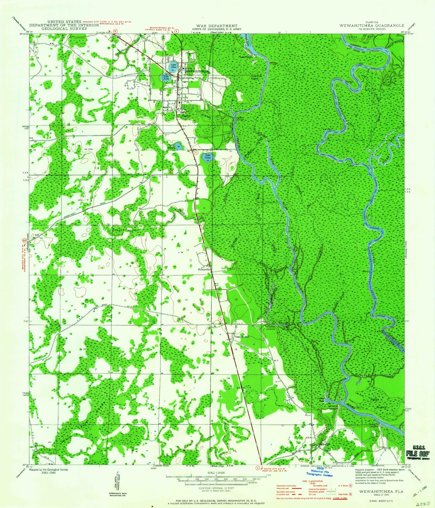
Classic USGS Wewahitchka Florida 7.5'x7.5' Topo Map
Couldn't load pickup availability
Historical USGS topographic quad map of Wewahitchka in the state of Florida. Map scale may vary for some years, but is generally around 1:24,000. Print size is approximately 24" x 27"
This quadrangle is in the following counties: Gulf, Liberty.
The map contains contour lines, roads, rivers, towns, and lakes. Printed on high-quality waterproof paper with UV fade-resistant inks, and shipped rolled.
Contains the following named places: Boggy Jordan, Bryants Landing, Burgess Creek, Burgess Landing, Church of Christ, City of Wewahitchka, Cochran Landing, Cochran Slough, Corley Slough, Cutoff Island, Dalkeith, Dalkeith Church, Dalkeith Fire Department, Double Points, Douglas Landing, First United Pentecostal Church, Gaskins Still, Grayson Slough, Gulf County Sheriff's Office, Gum Drift Slough, Honeyville, Lake Alice, Lake Coma, Lake Grove, Lake Julia, Lake Shippey, Lands Lake, Listers Landing, Lockey Lake, Louisa Bend, Magnolia Slough, Moccasin Slough, Piney Reach Slough, Post Office Point, Red Bull Island, River Styx, Roberts Cemetery, Roberts Slough, Robertson Cemetery, Saint Lawrence Church, Schoolhouse Branch, Sheep Islands, T L James Park, Tom Smith Branch, Upper Piney Reach, Van Horn Slough, Virginia Cut, West Side Church, Wewahitchka, Wewahitchka Elementary School, Wewahitchka Emergency Medical Services, Wewahitchka Junior-Senior High School, Wewahitchka Post Office, Whites River, Williamsburg Cemetery, ZIP Code: 32465


