MyTopo
Classic USGS Weyanoke Louisiana 7.5'x7.5' Topo Map
Couldn't load pickup availability
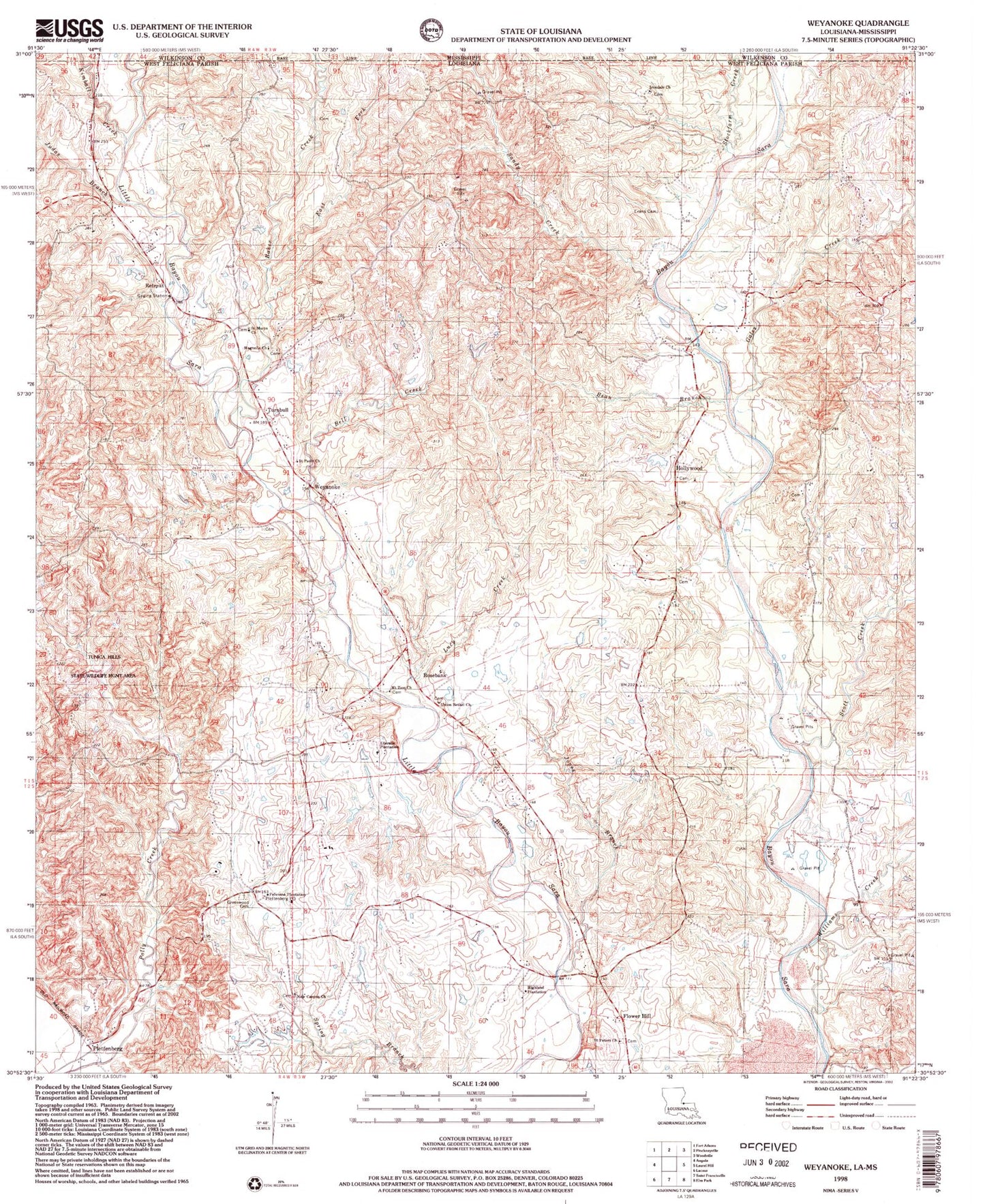
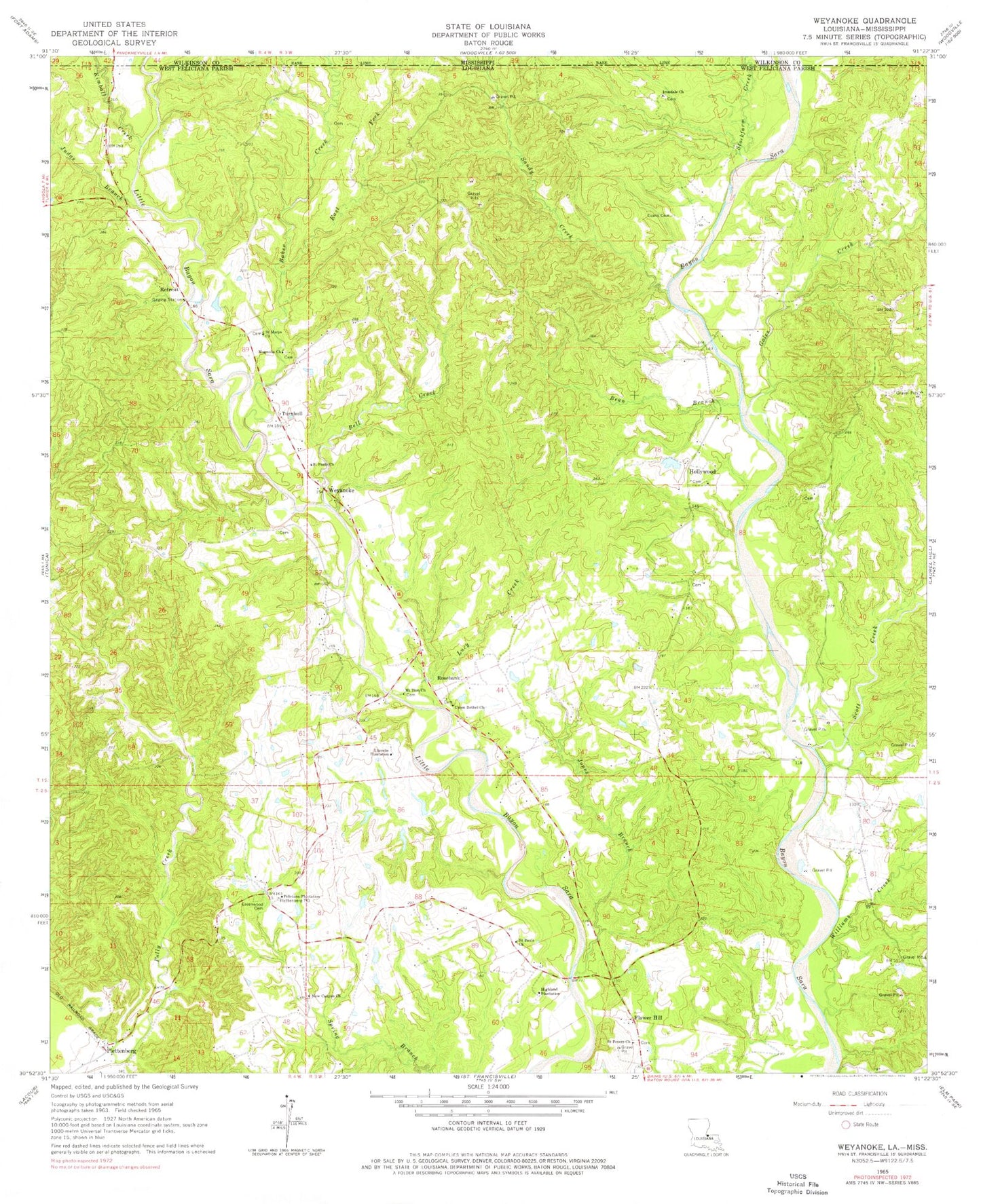
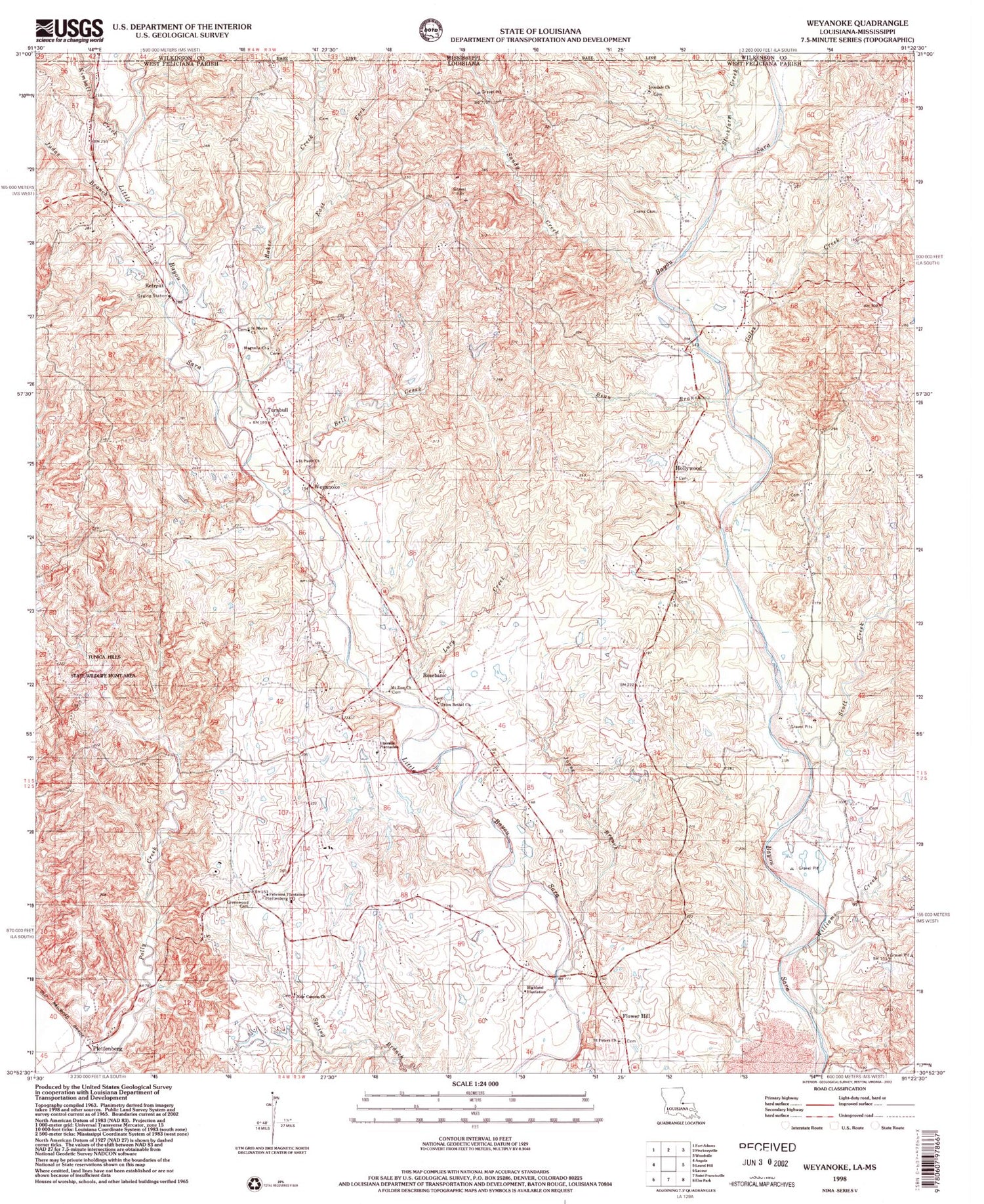
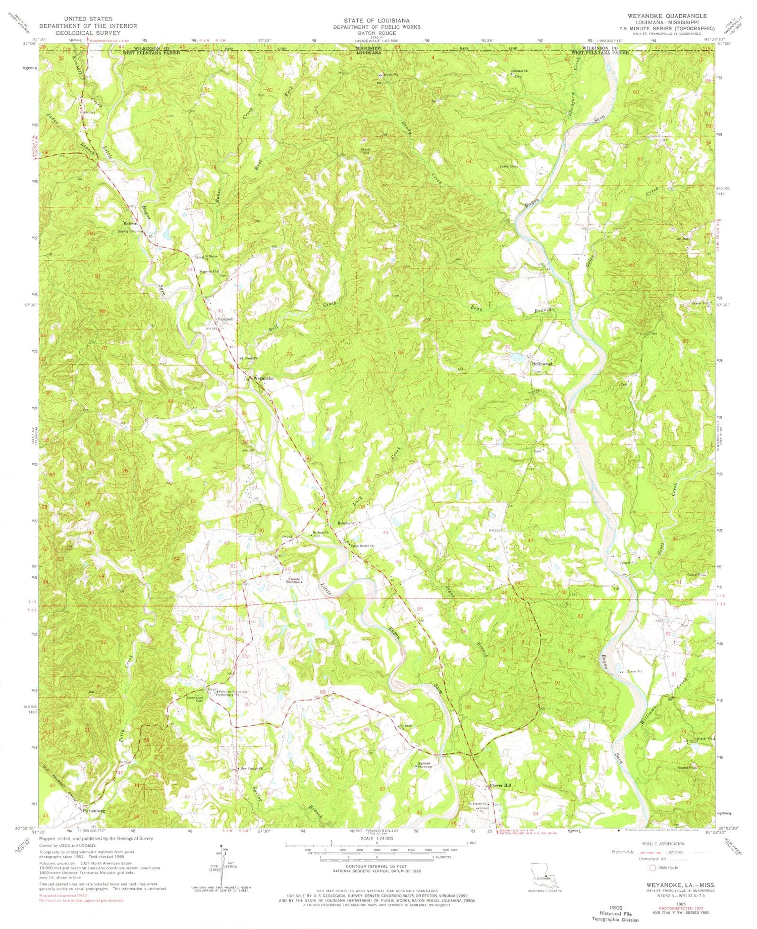
Historical USGS topographic quad map of Weyanoke in the states of Louisiana, Mississippi. Typical map scale is 1:24,000, but may vary for certain years, if available. Print size: 24" x 27"
This quadrangle is in the following counties: West Feliciana, Wilkinson.
The map contains contour lines, roads, rivers, towns, and lakes. Printed on high-quality waterproof paper with UV fade-resistant inks, and shipped rolled.
Contains the following named places: Bean Branch, Bell Creek, East Fork Baker Creek, Ellerslie Plantation, Evans Cemetery, Feliciana Plantation, Gales Creek, Greenwood Cemetery, Irondale Church, Jones Branch, Judas Branch, Lucy Creek, Magnolia Church, Mount Zion Church, New Canyon Church, Saint Pauls Church, Saint Pauls Church, Saint Peters Church, Sandy Creek, Stockfarm Creek, Union Bethel Church, Williams Creek, Turnbull, Weyanoke, Flower Hill, Hollywood, Ward Eight, Bayou Sara Oil Field, Sleepy Hollow Woods, Baker Creek, Highland Plantation, Plettenberg, Retreat, Rosebank, Saint Marys Episcopal Church, Scott Creek, West Feliciana Parish, Plettenburg Post Office, Hollywood Post Office (historical), Retreat Post Office (historical), Turnbull Post Office (historical), Weyanoke Post Office (historical), Tunica Hills State Wildlife Management Area, Greater New Canaan Church, Greater New Hollywood Baptist Church, New Irondale Baptist Church, New Mount Zion Baptist Church, Butler Pit, Weyanoke Volunteer Fire Department, Sara Field Ultralight Flightpark (historical), Weyanoke Post Office, District D, Kimball Creek


