MyTopo
Classic USGS Wheeler Hills North Dakota 7.5'x7.5' Topo Map
Regular price
$16.95
Regular price
Sale price
$16.95
Unit price
per
Couldn't load pickup availability
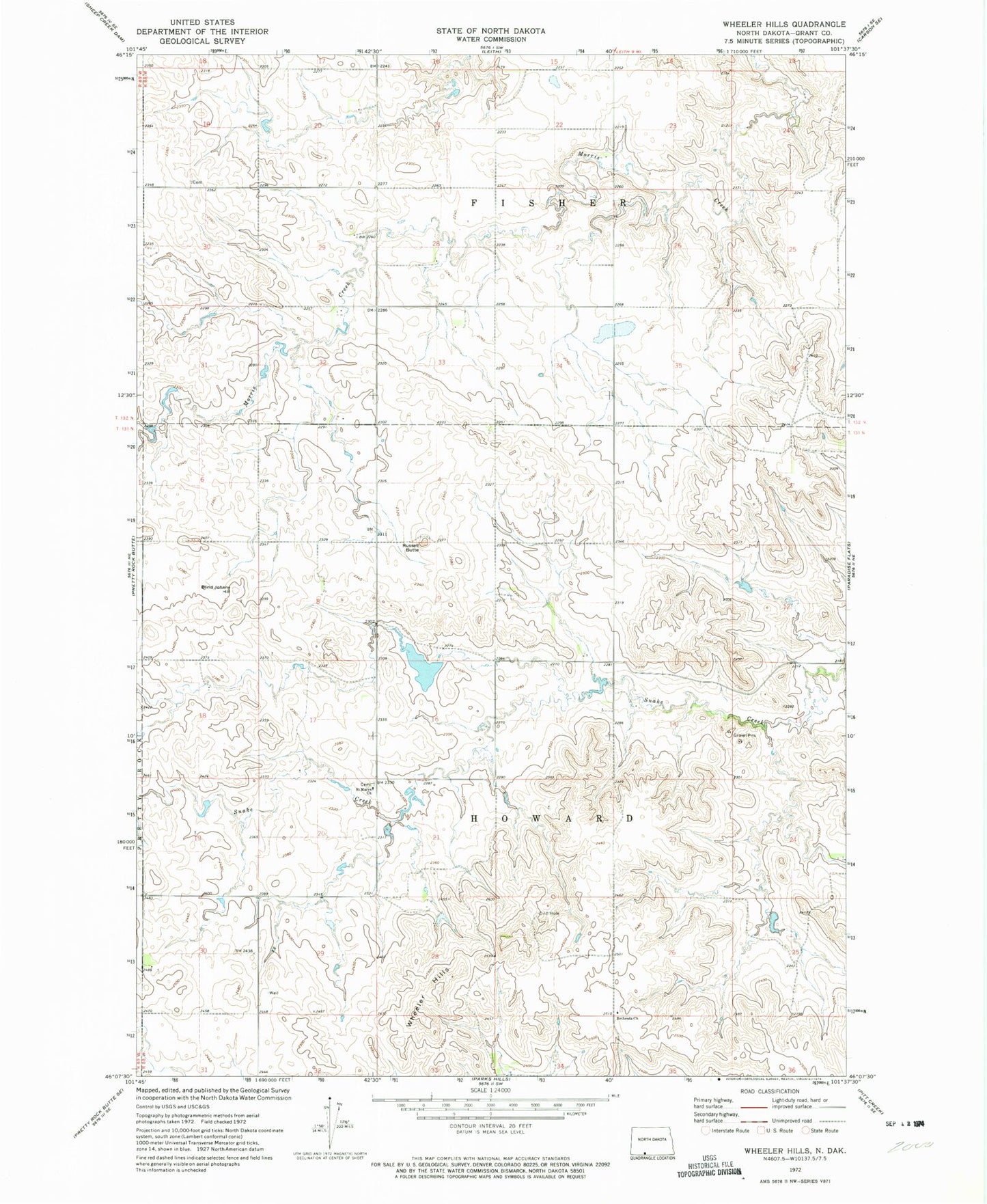
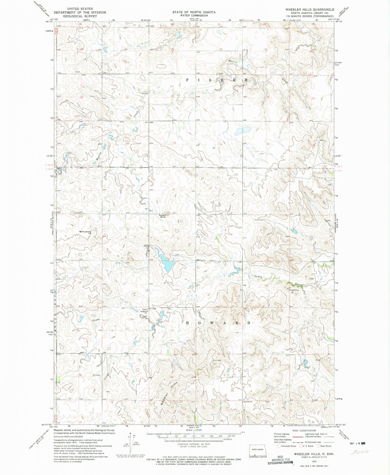
Historical USGS topographic quad map of Wheeler Hills in the state of North Dakota. Map scale may vary for some years, but is generally around 1:24,000. Print size is approximately 24" x 27"
This quadrangle is in the following counties: Grant.
The map contains contour lines, roads, rivers, towns, and lakes. Printed on high-quality waterproof paper with UV fade-resistant inks, and shipped rolled.
Contains the following named places: Bethesda Church, Bethesda Lutheran Church Cemetery, Blind Johnny Hill, Howard Dam, Russell Butte, Saint Marys Church, Township of Fisher, Wheeler Hills