MyTopo
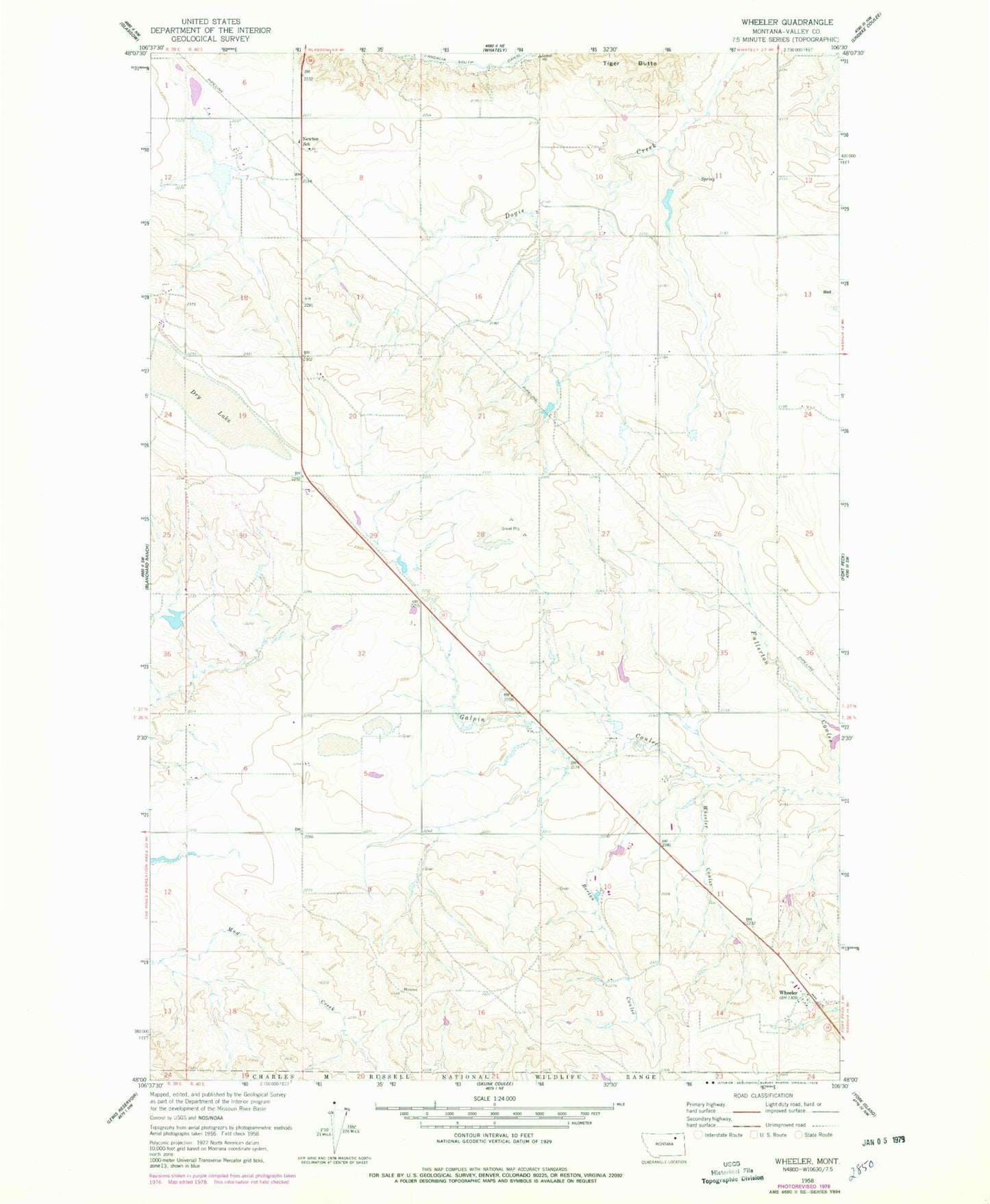
Classic USGS Wheeler Montana 7.5'x7.5' Topo Map
Couldn't load pickup availability
Historical USGS topographic quad map of Wheeler in the state of Montana. Map scale may vary for some years, but is generally around 1:24,000. Print size is approximately 24" x 27"
This quadrangle is in the following counties: Valley.
The map contains contour lines, roads, rivers, towns, and lakes. Printed on high-quality waterproof paper with UV fade-resistant inks, and shipped rolled.
Contains the following named places: 26N40E02CBBA01 Well, 26N40E13BDDA01 Well, 27N40E07BDAB01 Well, 27N40E16CCAC01 Well, 27N40E30BAAA01 Well, Borton Coulee, Dry Lake, Greenwood Number 2 Dam, KLAN-FM (Glasgow), Minot, Newton School, Tiger Butte School, West Galpin School, Whatshername Dam, Whatshisname Dam, Wheeler, Wheeler Coulee, Wheeler Post Office