MyTopo
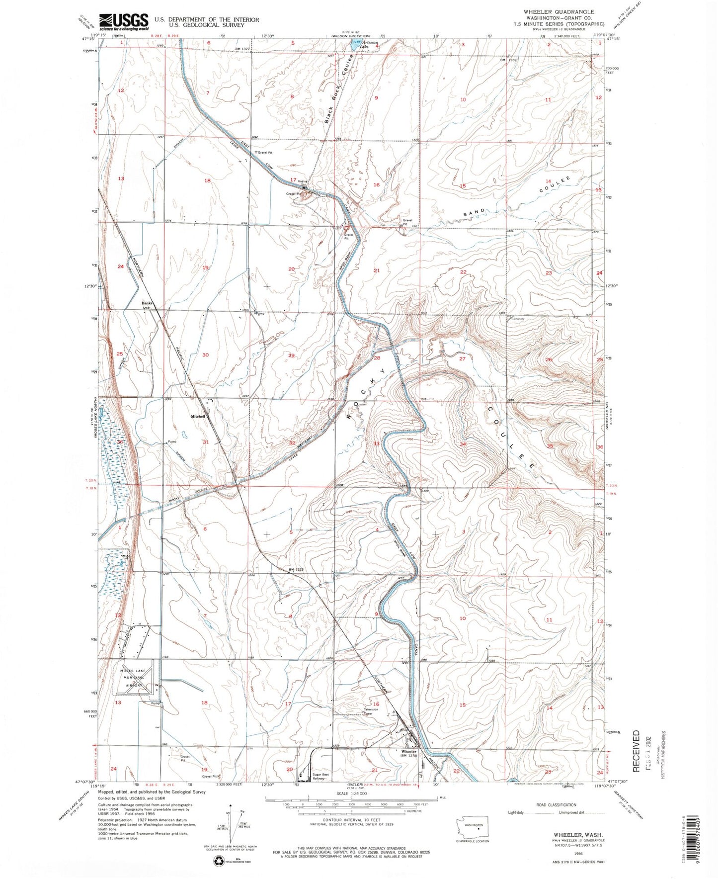
Classic USGS Wheeler Washington 7.5'x7.5' Topo Map
Couldn't load pickup availability
Historical USGS topographic quad map of Wheeler in the state of Washington. Map scale may vary for some years, but is generally around 1:24,000. Print size is approximately 24" x 27"
This quadrangle is in the following counties: Grant.
The map contains contour lines, roads, rivers, towns, and lakes. Printed on high-quality waterproof paper with UV fade-resistant inks, and shipped rolled.
Contains the following named places: Black Rock Coulee, East Low Canal, Grant County Fire District 5 Station 5, Grant County Fire District 5 Station 9, Mitchell, Moses Lake Army Air Field, Moses Lake Municipal Airport, Rocky Coulee, Rocky Coulee Syphon, Rocky Coulee Wasteway, Sand Coulee, Sand Coulee Syphon, Wheeler, Wheeler Census Designated Place