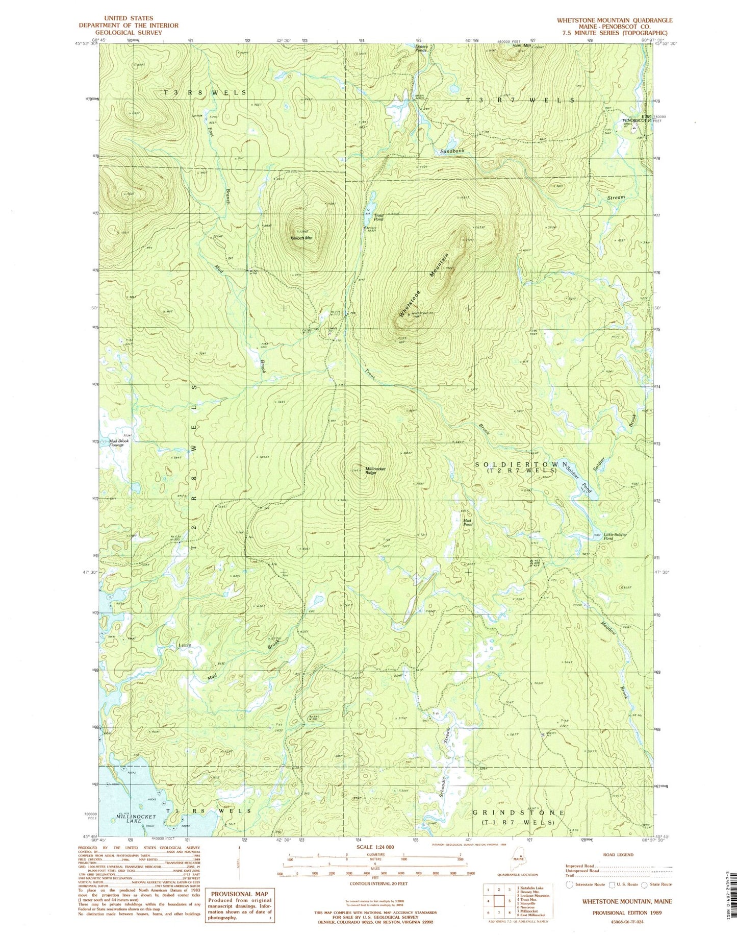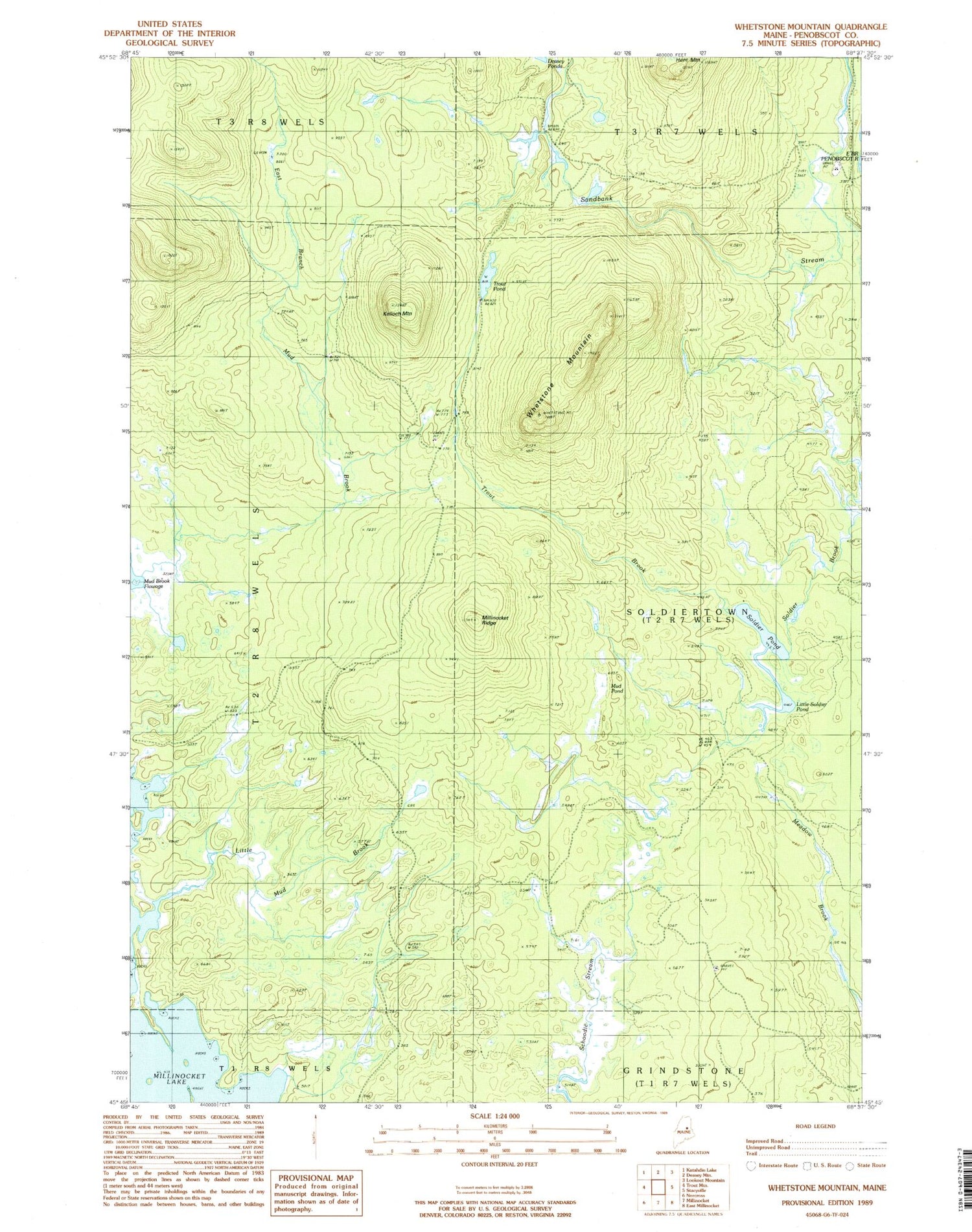
MyTopo
Classic USGS Whetstone Mountain Maine 7.5'x7.5' Topo Map
Regular price
$16.95
Regular price
Sale price
$16.95
Unit price
per
Couldn't load pickup availability
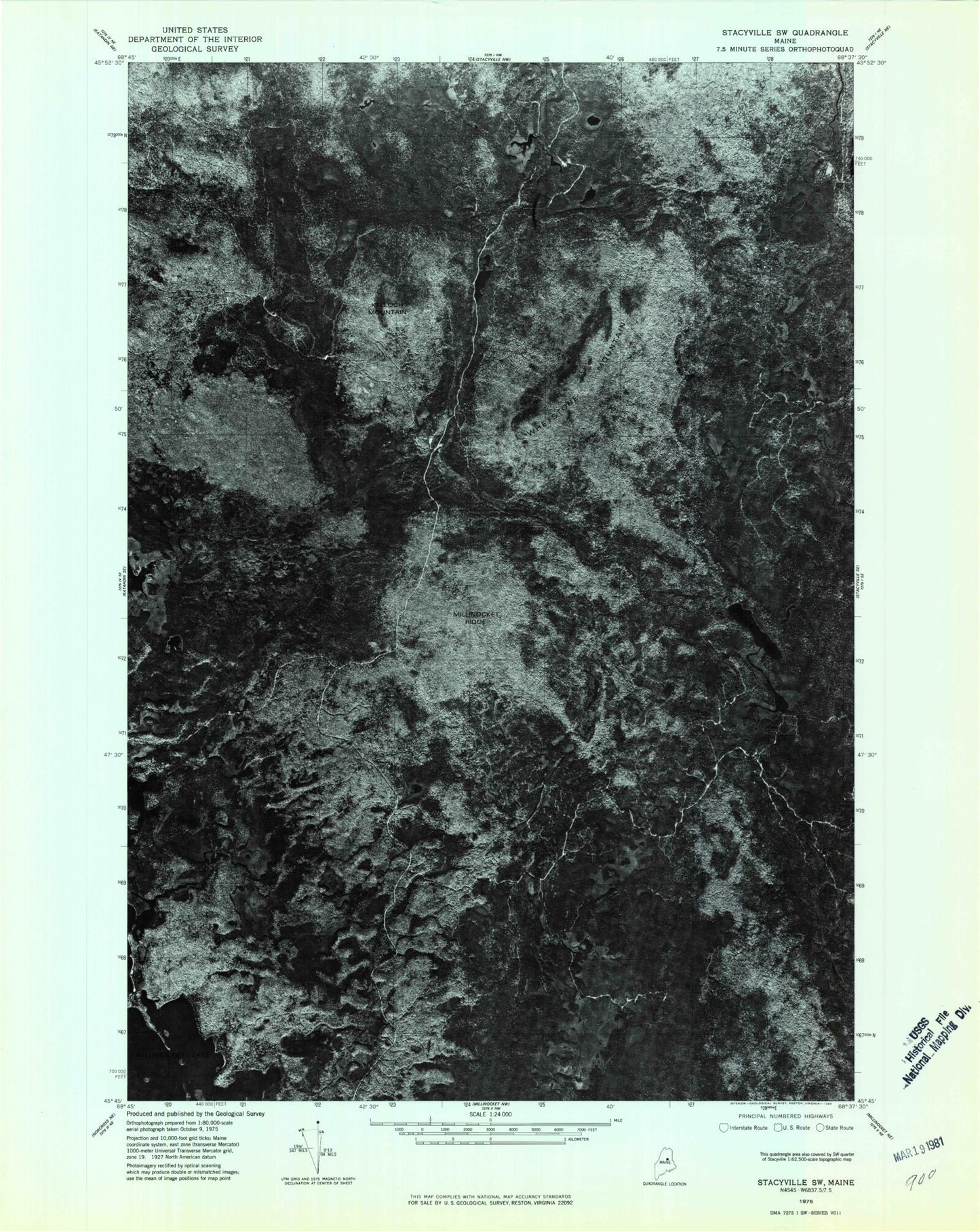
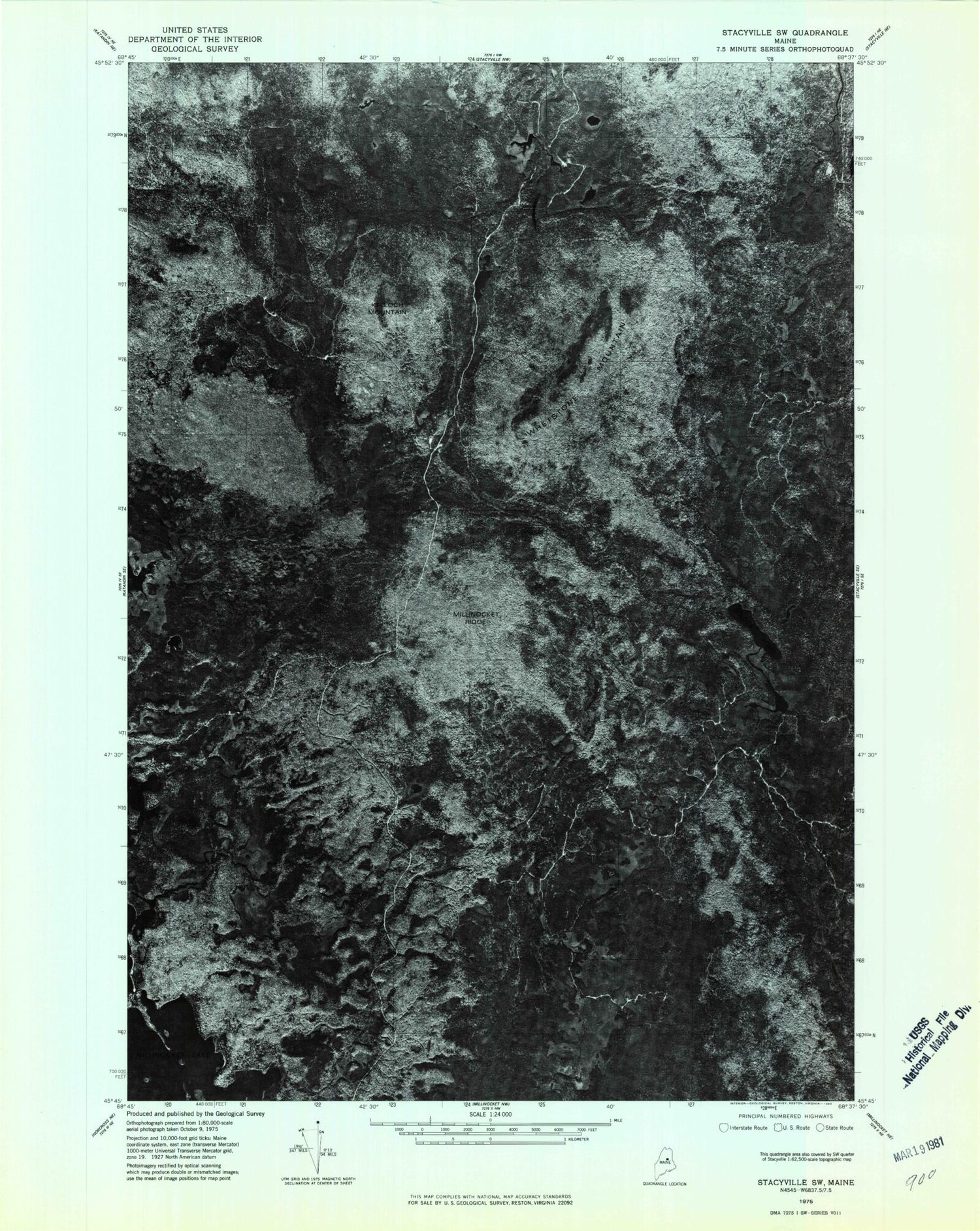
Historical USGS topographic quad map of Whetstone Mountain in the state of Maine. Map scale may vary for some years, but is generally around 1:24,000. Print size is approximately 24" x 27"
This quadrangle is in the following counties: Penobscot.
The map contains contour lines, roads, rivers, towns, and lakes. Printed on high-quality waterproof paper with UV fade-resistant inks, and shipped rolled.
Contains the following named places: East Branch Mud Brook, Kelloch Mountain, Little Mud Brook, Little Soldier Pond, Millinocket Ridge, Mud Pond, Sandbank Trail, Soldier Pond, Soldiertown Township T2 R7 WELS, Trout Brook, Trout Pond, Whetstone Mountain