MyTopo
Classic USGS Whiskey Spring Montana 7.5'x7.5' Topo Map
Regular price
$16.95
Regular price
Sale price
$16.95
Unit price
per
Couldn't load pickup availability
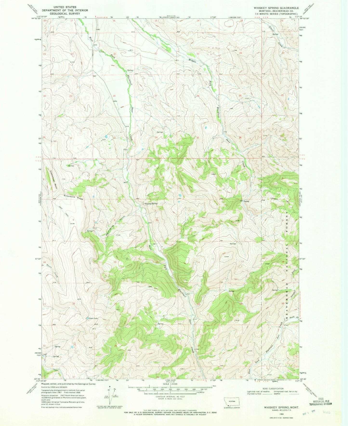
Historical USGS topographic quad map of Whiskey Spring in the state of Montana. Map scale may vary for some years, but is generally around 1:24,000. Print size is approximately 24" x 27"
This quadrangle is in the following counties: Beaverhead.
The map contains contour lines, roads, rivers, towns, and lakes. Printed on high-quality waterproof paper with UV fade-resistant inks, and shipped rolled.
Contains the following named places: Clover Divide, Cooks Lake, Cornell Ranch, Dukes Fork, Grays Fork, Moonshine Gulch, Snowbank Ridge, South Fork West Fork Blacktail Deer Creek, Steamboat Rock, Whiskey Spring