MyTopo
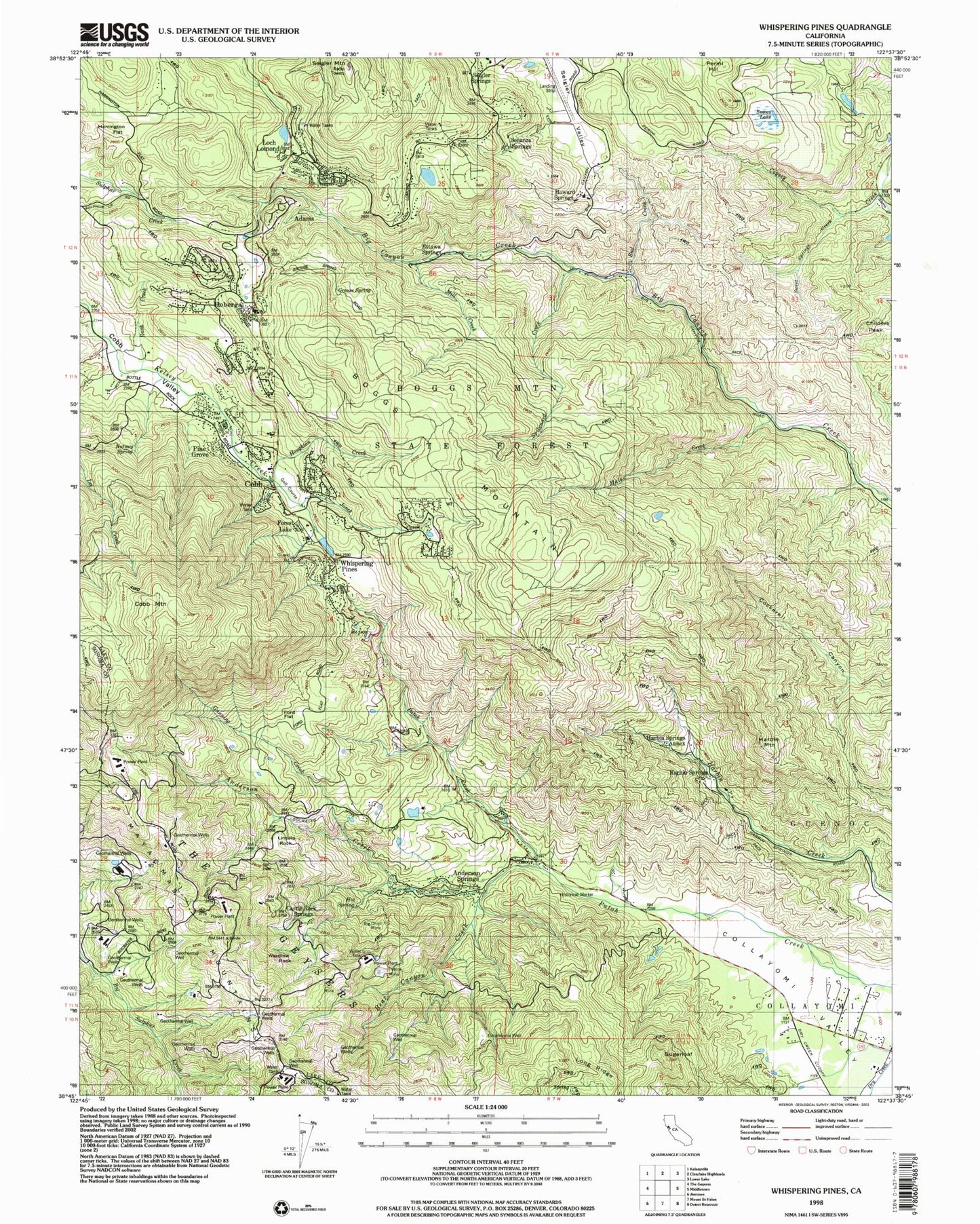
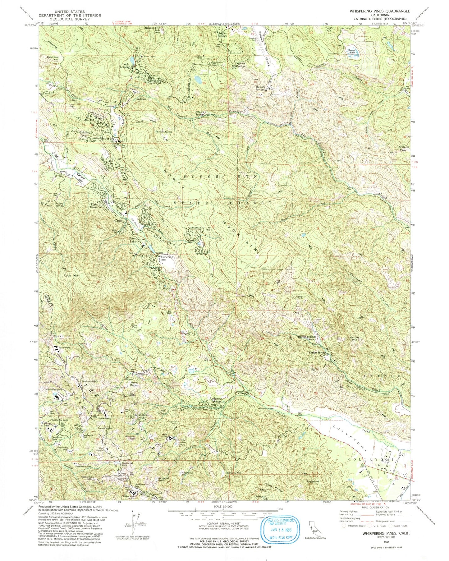
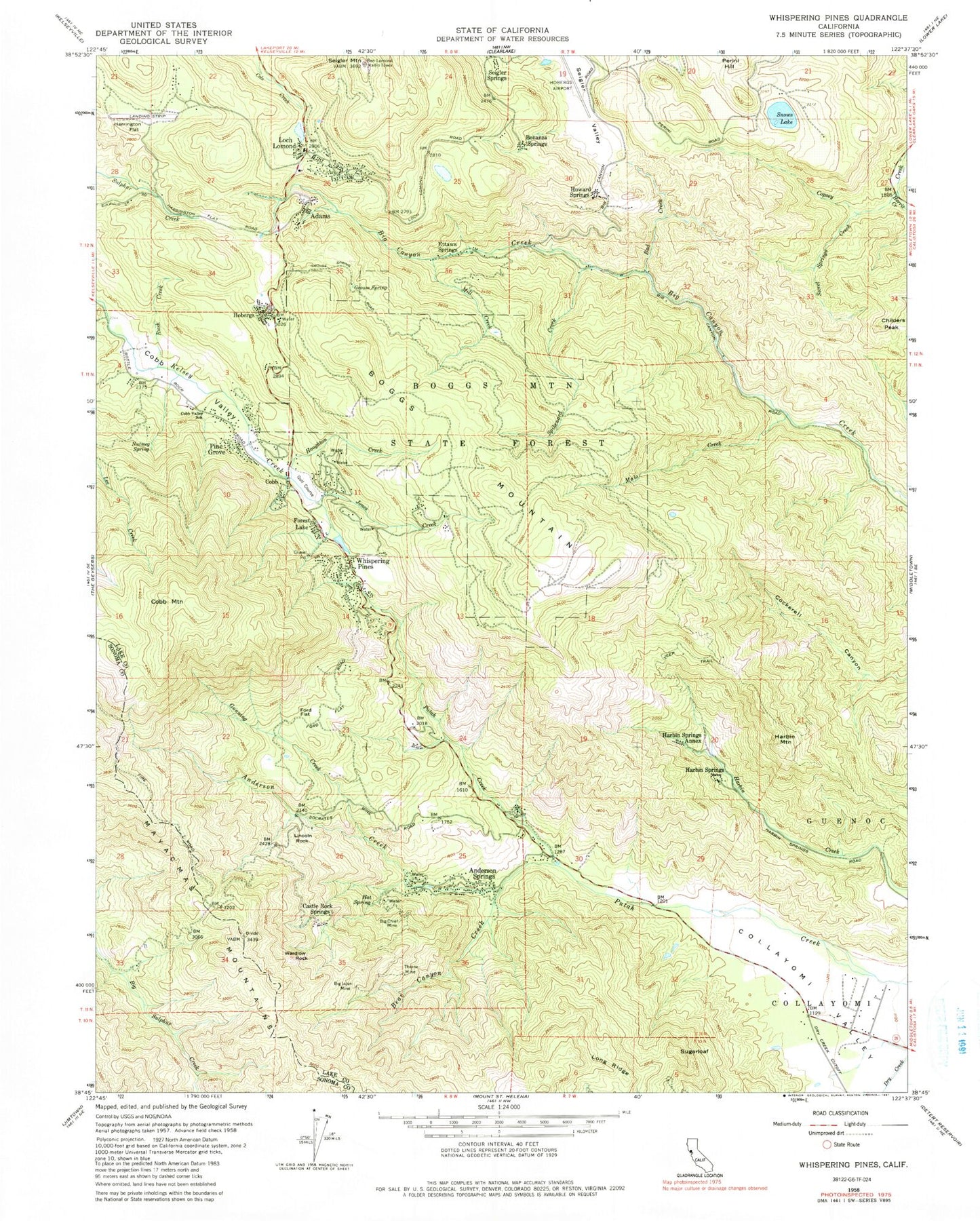
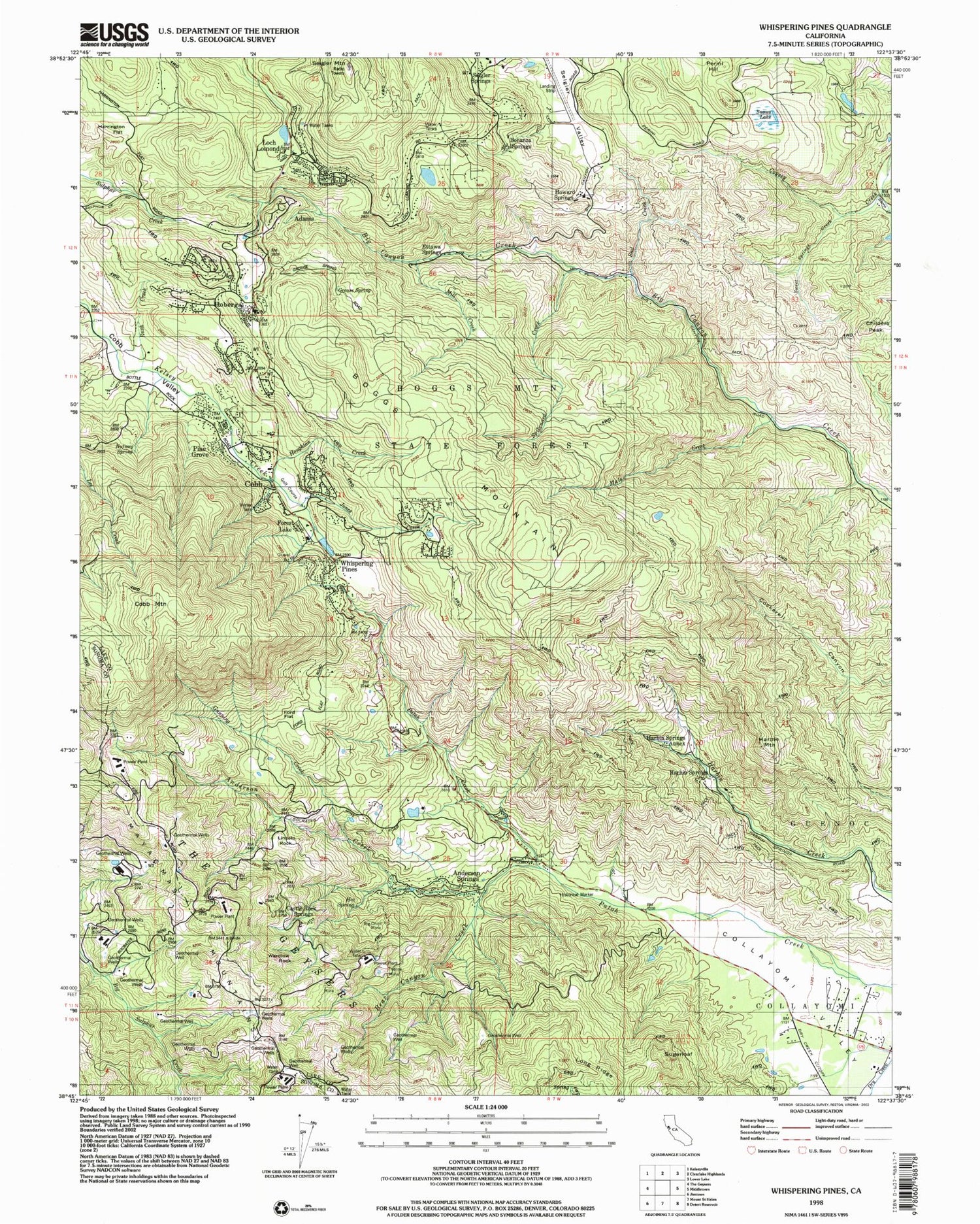
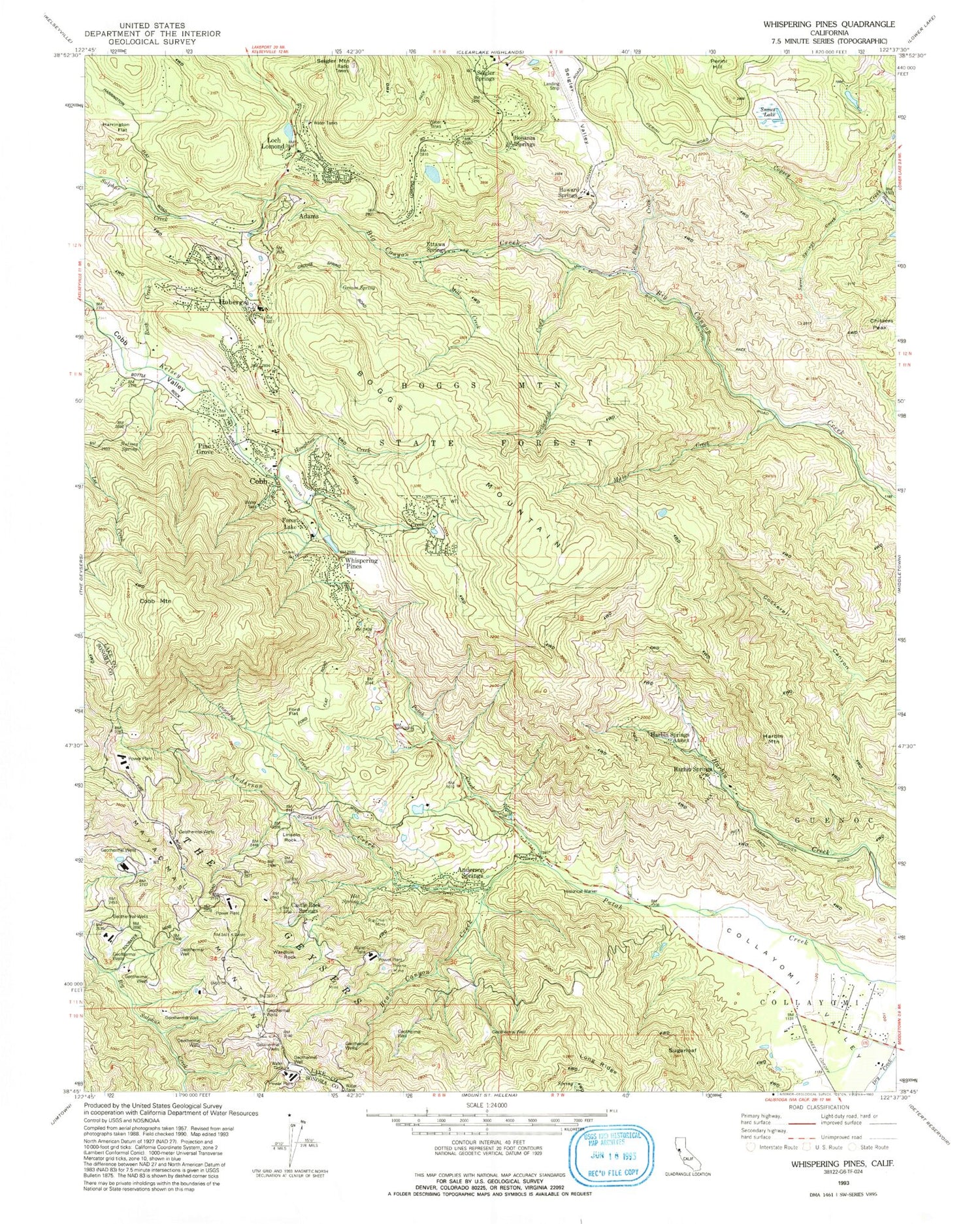
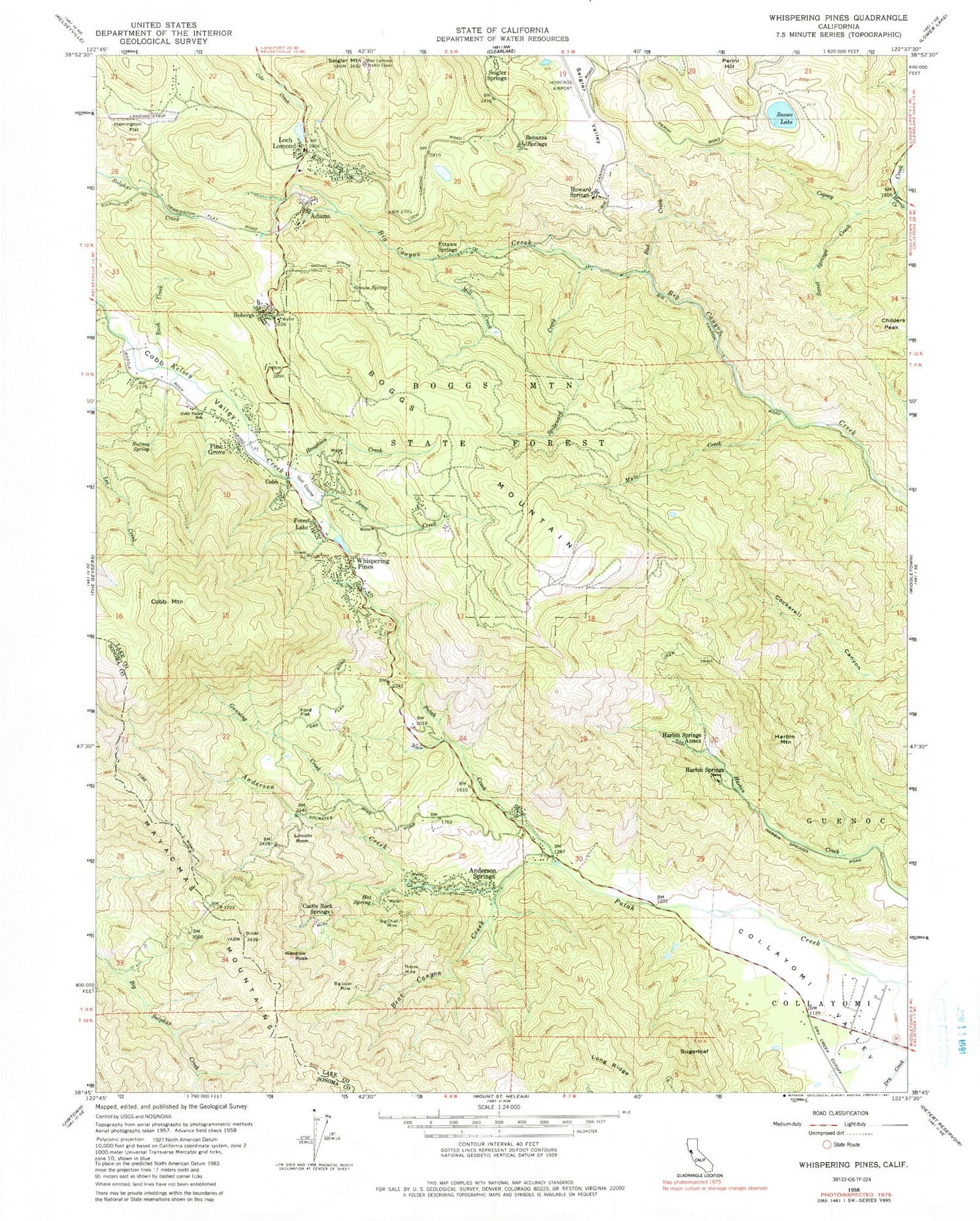
Classic USGS Whispering Pines California 7.5'x7.5' Topo Map
Couldn't load pickup availability
Historical USGS topographic quad map of Whispering Pines in the state of California. Typical map scale is 1:24,000, but may vary for certain years, if available. Print size: 24" x 27"
This quadrangle is in the following counties: Lake, Sonoma.
The map contains contour lines, roads, rivers, towns, and lakes. Printed on high-quality waterproof paper with UV fade-resistant inks, and shipped rolled.
Contains the following named places: Anderson Creek, Anderson Springs, Bad Creek, Bear Canyon Creek, Big Chief Mine, Big Injun Mine, Boggs Mountain State Forest, Childers Peak, Cobb Valley, Cobb Valley School, Ford Flat, Grouse Spring, Gunning Creek, Harbin Mountain, Harrington Flat, Harris Creek, Hobergs, Houghton Creek, Jones Creek, Lincoln Rock, Malo Creek, Mill Creek, Nutmeg Spring, Rush Creek, Seigler Mountain, Long Ridge, Snows Lake, Spikenard Creek, Sweet Springs Creek, Thorne Mine, Wardlow Rock, Collayomi Valley, Paul Hoberg Airport (historical), Adams, Boggs Mountain, Bonanza Springs, Castle Rock Springs, Cobb, Cobb Mountain, Ettawa Springs, Forest Lake, Harbin Springs, Harbin Springs Annex, Howard Springs, Loch Lomond, Pine Grove, Seigler Springs, Sugarloaf, Whispering Pines, Adams Springs Golf Course, Brookside Farm (historical), Cobb Mountain Elementary School, Cobb Post Office, Hobergs-Forest Lake Golf Course, Meadow Springs Shopping Center, Hobergs Post Office (historical), Adams Post Office (historical), Anderson-Bull Spring, Cobb Census Designated Place, Department of Forestry and Fire Protection South Lake County Fire Protection District Station 62, Department of Forestry and Fire Protection South Lake County Fire Protection District Station 64, Anderson Creek, Anderson Springs, Bad Creek, Bear Canyon Creek, Big Chief Mine, Big Injun Mine, Boggs Mountain State Forest, Childers Peak, Cobb Valley, Cobb Valley School, Ford Flat, Grouse Spring, Gunning Creek, Harbin Mountain, Harrington Flat, Harris Creek, Hobergs, Houghton Creek, Jones Creek, Lincoln Rock, Malo Creek, Mill Creek, Nutmeg Spring, Rush Creek, Seigler Mountain, Long Ridge, Snows Lake, Spikenard Creek, Sweet Springs Creek, Thorne Mine, Wardlow Rock, Collayomi Valley, Paul Hoberg Airport (historical), Adams, Boggs Mountain, Bonanza Springs, Castle Rock Springs, Cobb, Cobb Mountain, Ettawa Springs, Forest Lake, Harbin Springs, Harbin Springs Annex, Howard Springs, Loch Lomond, Pine Grove, Seigler Springs, Sugarloaf, Whispering Pines, Adams Springs Golf Course, Brookside Farm (historical), Cobb Mountain Elementary School, Cobb Post Office, Hobergs-Forest Lake Golf Course, Meadow Springs Shopping Center, Hobergs Post Office (historical), Adams Post Office (historical), Anderson-Bull Spring, Cobb Census Designated Place, Department of Forestry and Fire Protection South Lake County Fire Protection District Station 62, Department of Forestry and Fire Protection South Lake County Fire Protection District Station 64
