MyTopo
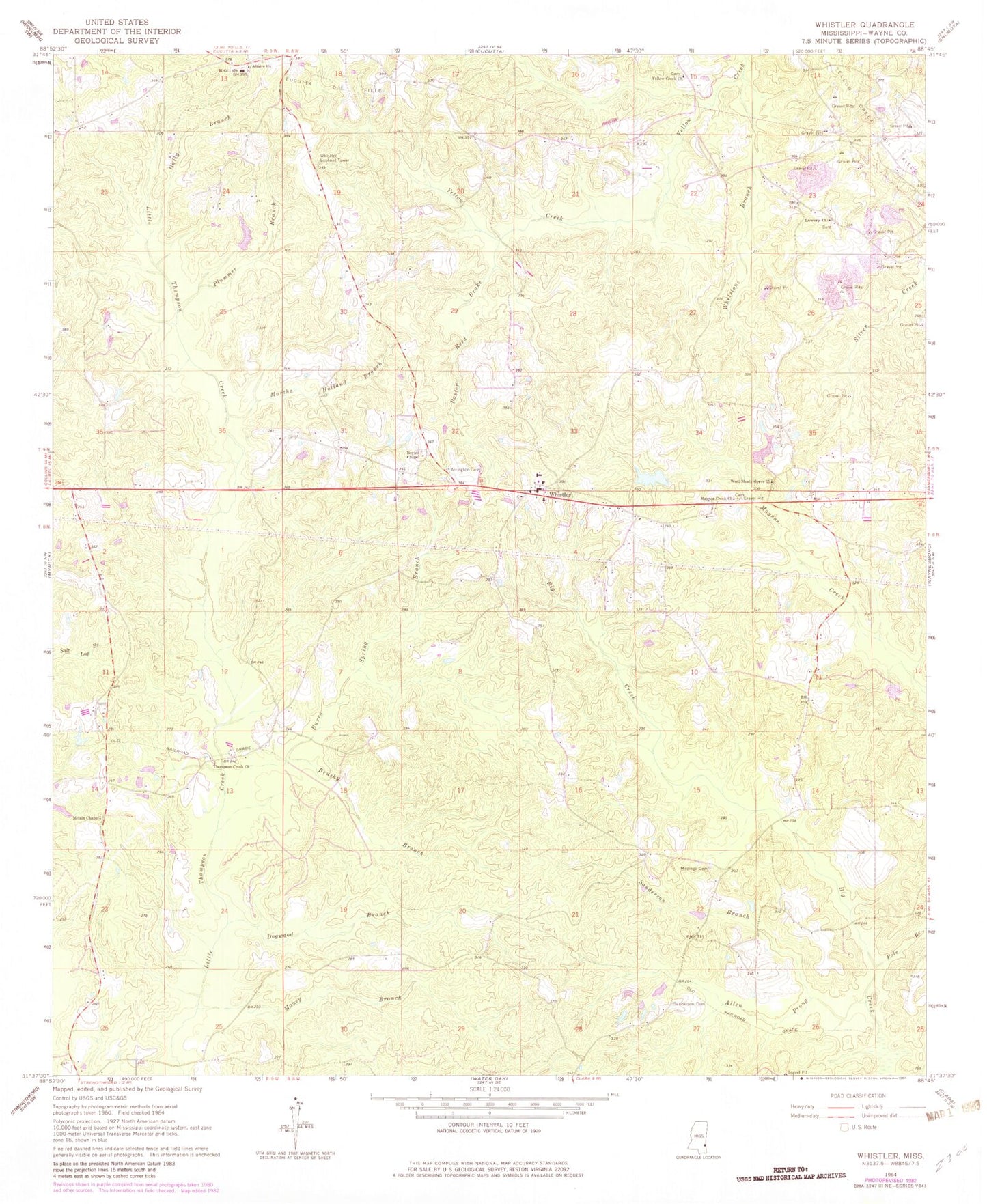
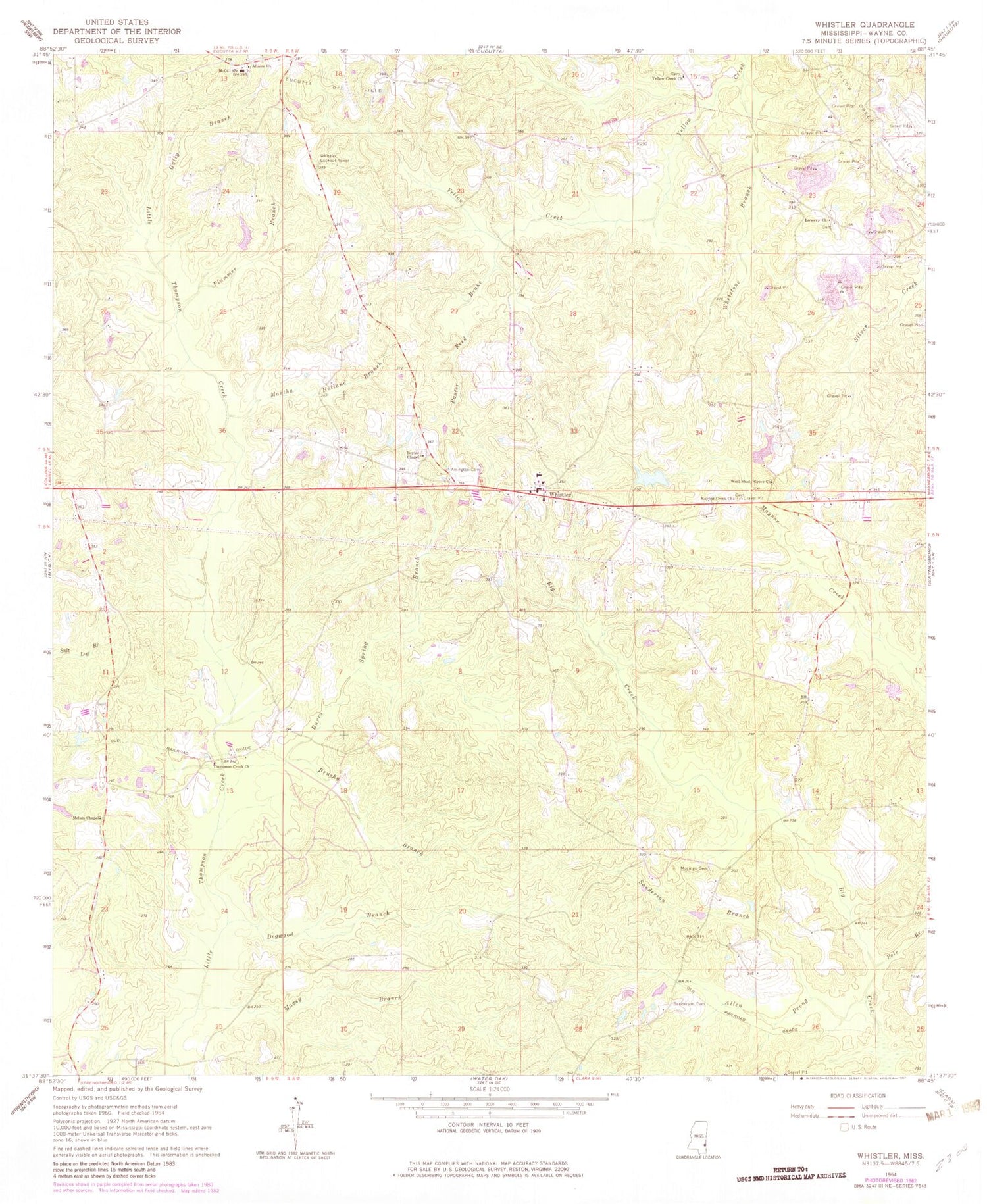
Classic USGS Whistler Mississippi 7.5'x7.5' Topo Map
Couldn't load pickup availability
Historical USGS topographic quad map of Whistler in the state of Mississippi. Map scale may vary for some years, but is generally around 1:24,000. Print size is approximately 24" x 27"
This quadrangle is in the following counties: Wayne.
The map contains contour lines, roads, rivers, towns, and lakes. Printed on high-quality waterproof paper with UV fade-resistant inks, and shipped rolled.
Contains the following named places: Allen Prong, Altaire Church, Arrington Cemetery, Beat Four Elementary School, Beat Four High School, Boyles Chapel, Boyles Chapel Cemetery, Brushy Branch, Burro Spring Branch, Dogwood Branch, Gully Branch, Lowery Cemetery, Lowery Church, Martha Holland Branch, Maxey Branch, Maynor Creek Church, McGill School, McLain Chapel, Mozingo Cemetery, Mozingo Store, Old Harmony Church, Paster Reed Brake, Plummer Branch, Pole Branch, Sanderson Branch, Sanderson Cemetery, Supervisor District 4, Thompson Creek Church, Wards Camp, Wayne County Volunteer Fire Department Beat Four Station, West Pond Dam, West School, West Shady Grove Cemetery, West Shady Grove Church, West Yellow Creek Oil Field, Whetstone Branch, Whistler, Whistler Lookout Tower, Williams Lake Dam, Williams Store, Yellow Creek Cemetery, Yellow Creek Church


