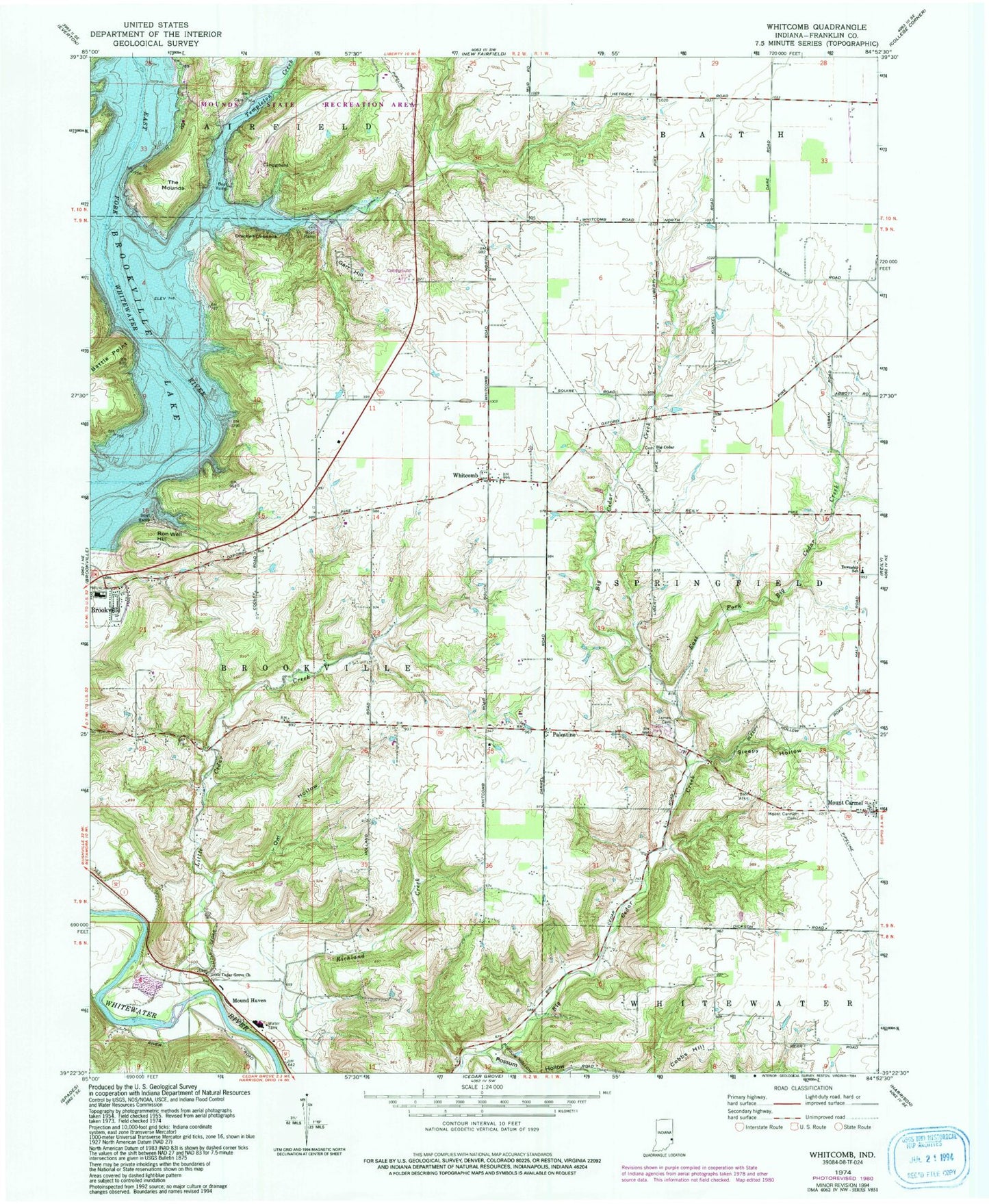
MyTopo
Classic USGS Whitcomb Indiana 7.5'x7.5' Topo Map
Couldn't load pickup availability
Historical USGS topographic quad map of Whitcomb in the state of Indiana. Map scale may vary for some years, but is generally around 1:24,000. Print size is approximately 24" x 27"
This quadrangle is in the following counties: Franklin.
The map contains contour lines, roads, rivers, towns, and lakes. Printed on high-quality waterproof paper with UV fade-resistant inks, and shipped rolled.
Contains the following named places: Battle Point, Big Cedar Church, Bon Well Hill, Brookville High School, Brookville Junior High School, Brookville Lake Dam, Cobbs Hill, East Fork Big Cedar Creek, Garr Hill, Harrison Sand and Gravel Pit, Holland School, James Cemetery, Little Cedar Creek, Little Cedar Creek School, Little Cedar Grove Church, Mound Haven, Mounds State Recreation Area, Mount Carmel Cemetery, Orschell Overlook, Owl Hollow, Palestine, Possum Hollow, Sleepy Hollow, Springfield School, Templeton Creek, The Mounds, Town of Mount Carmel, Whitcomb, ZIP Code: 47012