MyTopo
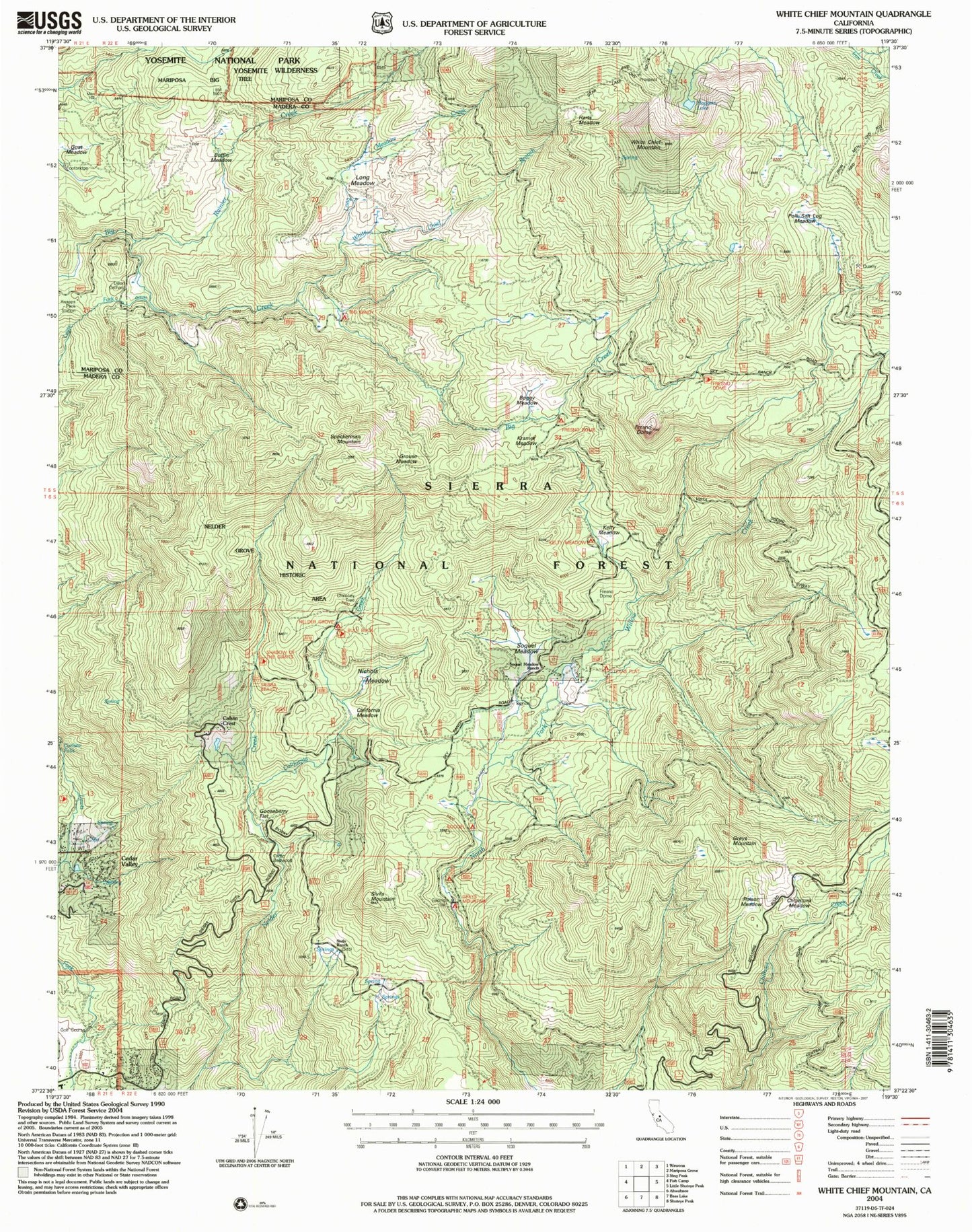
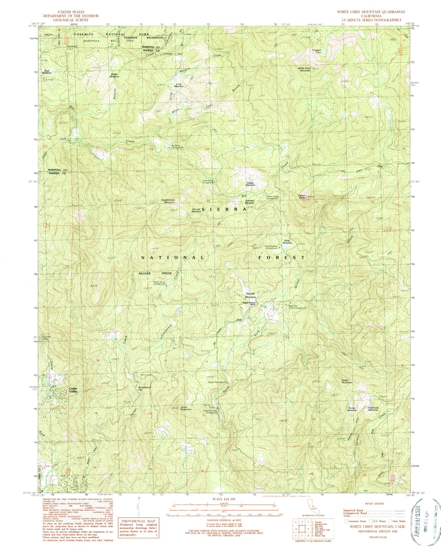
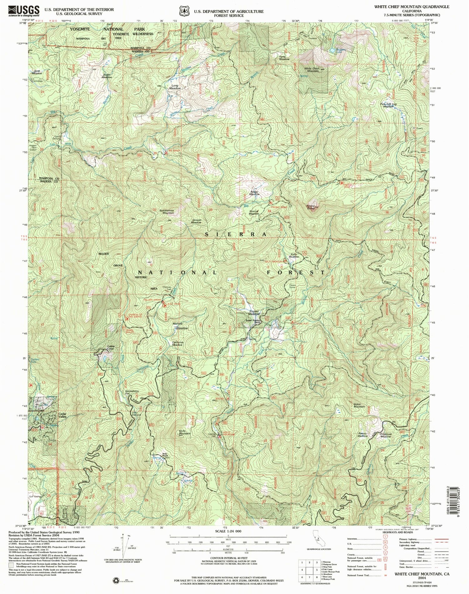
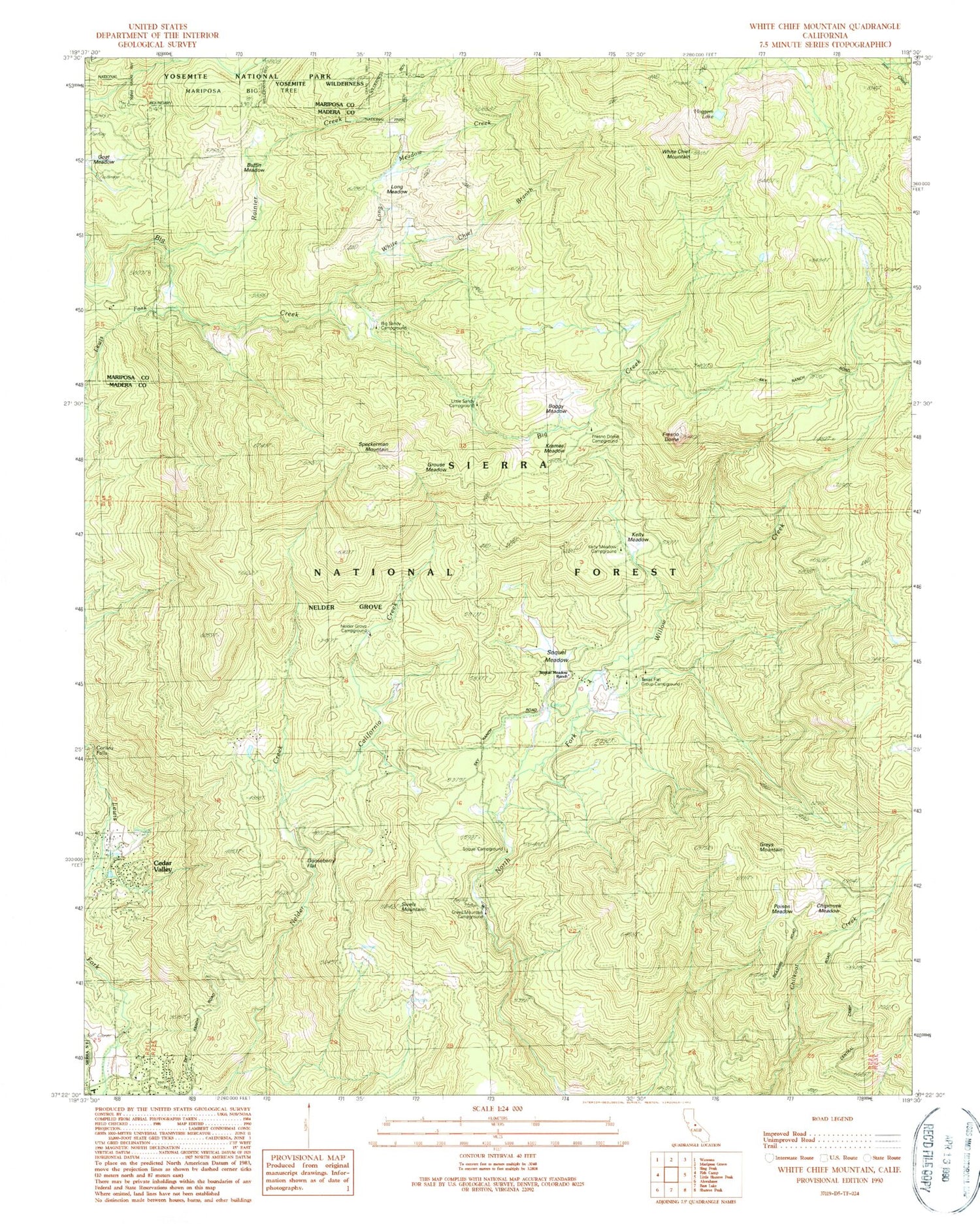
Classic USGS White Chief Mountain California 7.5'x7.5' Topo Map
Couldn't load pickup availability
Historical USGS topographic quad map of White Chief Mountain in the state of California. Typical map scale is 1:24,000, but may vary for certain years, if available. Print size: 24" x 27"
This quadrangle is in the following counties: Madera, Mariposa.
The map contains contour lines, roads, rivers, towns, and lakes. Printed on high-quality waterproof paper with UV fade-resistant inks, and shipped rolled.
Contains the following named places: Boggy Meadow, Buffin Meadow, Chipmunk Meadow, Gooseberry Flat, Kramer Meadow, Long Meadow, Poison Meadow, Sivels Mountain, Soquel Meadow Ranch, White Chief Mountain, Fresno Dome, Corlieu Falls, Goat Meadow, Greys Mountain, Kelty Meadow, Cedar Valley, Greys Mountain Campground, Kelty Meadow Campground, Texas Flat Group Campground, Big Sandy Campground, California Creek, Fresno Dome Campground, Grouse Meadow, Hoggem Lake, Little Sandy Campground, Long Meadow Creek, Nelder Grove Campground, Rainier Creek, Sivels Ranch, Soquel Campground, Soquel Meadow, White Chief Branch, Texas Flat Group Campground, Nelder Grove - Giant Sequoias, Speckerman Mountain, Sierra Sky Ranch Golf Course, Madera County Fire Department Station 18 Cedar Valley Volunteer Fire Department


