MyTopo
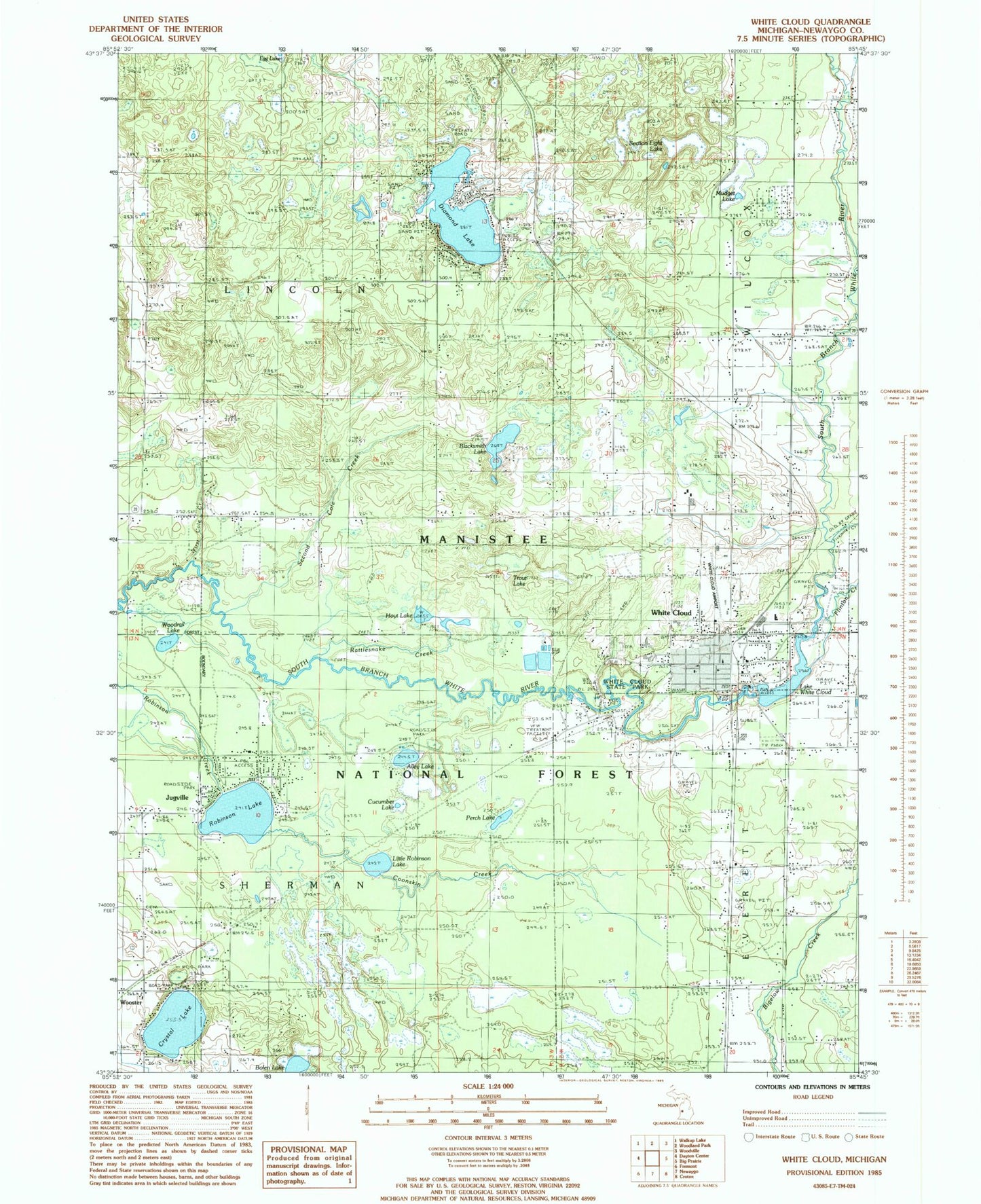
Classic USGS White Cloud Michigan 7.5'x7.5' Topo Map
Couldn't load pickup availability
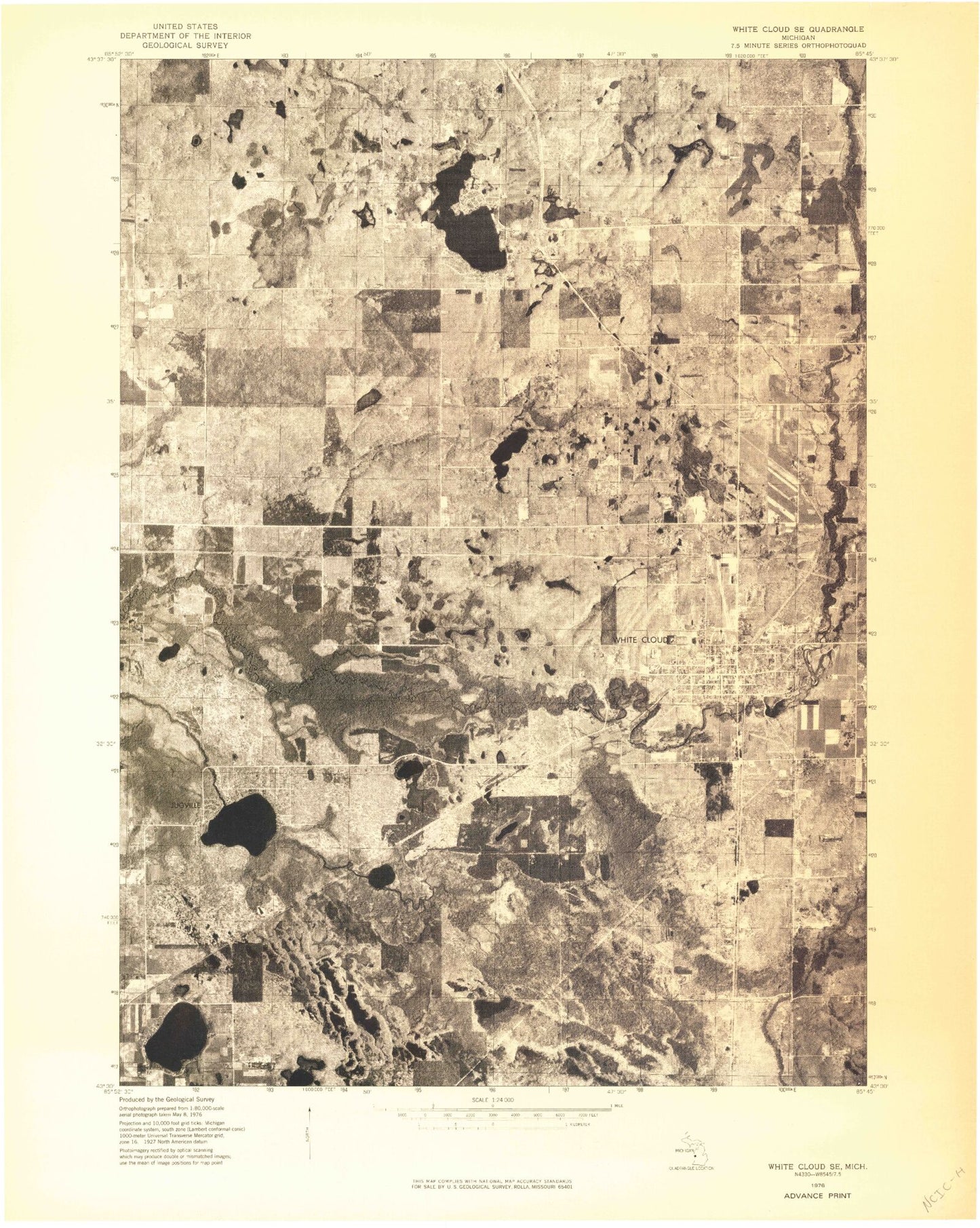
Historical USGS topographic quad map of White Cloud in the state of Michigan. Map scale may vary for some years, but is generally around 1:24,000. Print size is approximately 24" x 27"
This quadrangle is in the following counties: Newaygo.
The map contains contour lines, roads, rivers, towns, and lakes. Printed on high-quality waterproof paper with UV fade-resistant inks, and shipped rolled.
Contains the following named places: Alley Lake, Alley Lake Park, Alleyton, Alleyton Post Office, Blacksmith Lake, Bolen Lake, Christ Lutheran Church, City of White Cloud, Coonskin Creek, Crystal Lake, Cucumber Lake, Diamond Lake, Diamond Lake County Park, Everett Township Hall, Faith Bible Church, Family Health Center, First Cole Creek, Fivemile Creek, Flinton Creek, Flowing Well Park, Hoyt Lake, Jack D Jones Elementary School, Jugville, Lake White Cloud, Life Emergency Medical Services Newaygo County, Little Robinson Lake, Mudget Lake, Newaygo County, Newaygo County Sheriff's Office, Newaygo County Snowmobile Trail, Pearl Lake, Prospect Hill Cemetery, Ramona, Ramona Post Office, Ramona Station, Rattlesnake Creek, Robinson Lake, Saint Joseph Catholic Church, Second Cole Creek, Section Eight Lake, Section Five Lake, Seventh Day Baptist Church, Sherman Township Cemetery, Sherman Township Hall, Township of Lincoln, Township of Sherman, Trout Lake, Upper Elementary School, White Cloud, White Cloud Airport, White Cloud Area Fire and Rescue Department, White Cloud Church, White Cloud Church of God, White Cloud Church of God in Christ, White Cloud City Campground, White Cloud City Hall, White Cloud Community Library, White Cloud District Rangers Office, White Cloud High School, White Cloud Medical Center, White Cloud Middle School, White Cloud Police Department, White Cloud Post Office, White Cloud State Park, White Cloud Station, White Cloud United Methodist Church, White River Roughing Area Campground, Woodrail Lake, Wooster, Wooster Post Office, Wooster Station


