MyTopo
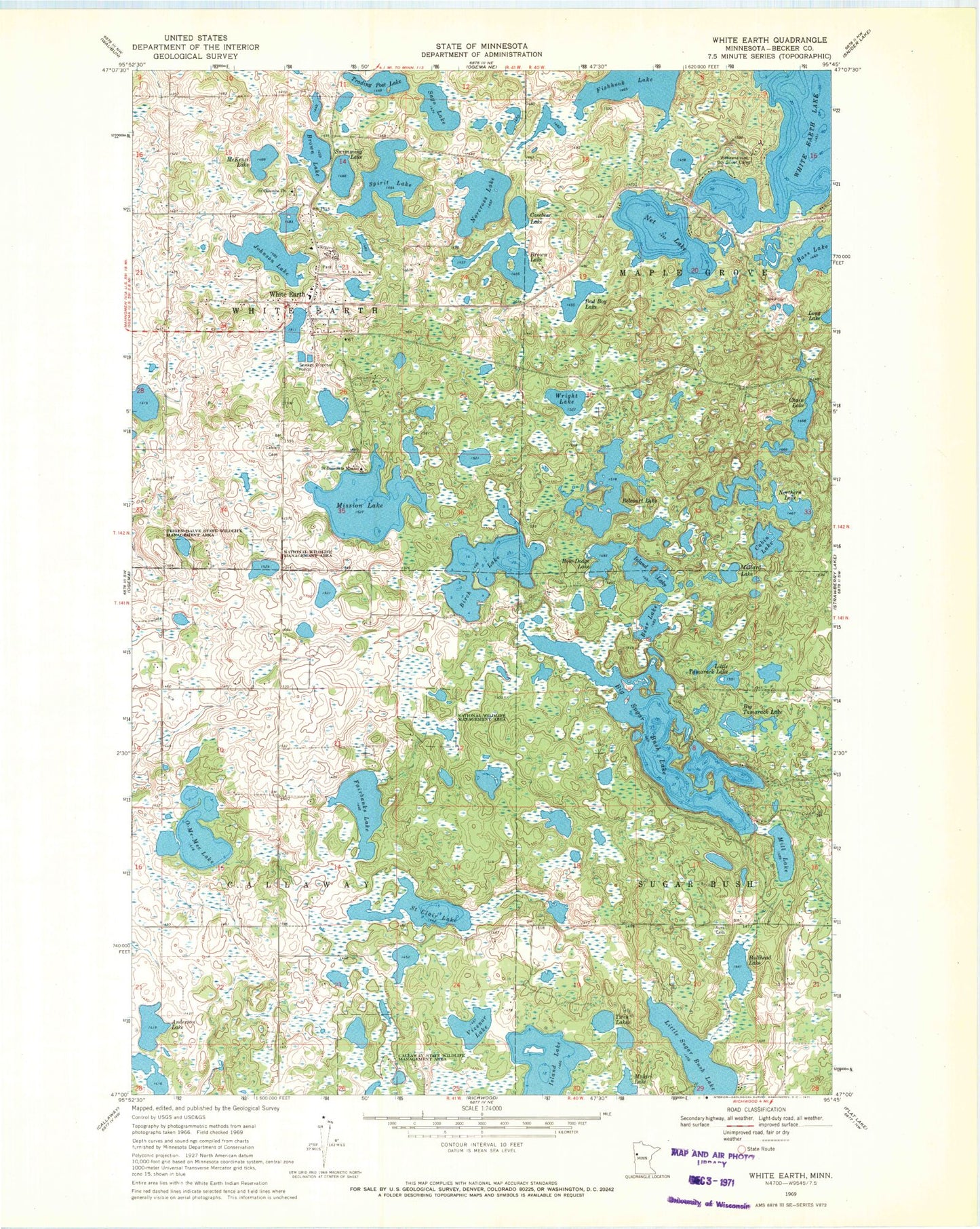
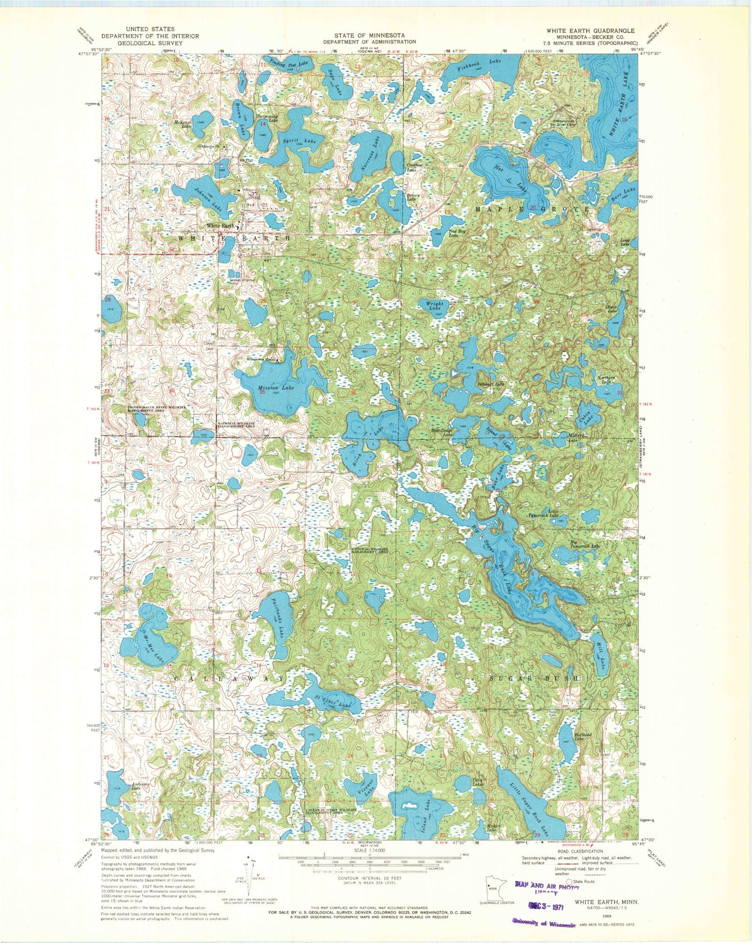
Classic USGS White Earth Minnesota 7.5'x7.5' Topo Map
Couldn't load pickup availability
Historical USGS topographic quad map of White Earth in the state of Minnesota. Map scale may vary for some years, but is generally around 1:24,000. Print size is approximately 24" x 27"
This quadrangle is in the following counties: Becker.
The map contains contour lines, roads, rivers, towns, and lakes. Printed on high-quality waterproof paper with UV fade-resistant inks, and shipped rolled.
Contains the following named places: Anderson Lake, Aura Cemetery, Bad Boy Lake, Bear Lake, Belcourt Lake, Bethel Lutheran Church, Big Sugar Bush Lake, Big Tamarack Lake, Birch Lake, Bow-Dodge Lake, Brown Lake, Bullhead Lake, Cabin Lake, Callaway State Wildlife Management Area, Calvary Cemetery, Casebee Lake, Chain Lake, Chief White Cloud State Monument, Circle of Life School, Fairbanks Lake, Fishhook Lake, Island Lake, Johnson Lake, Little Sugar Bush Lake, Little Tamarack Lake, Long Lake, Mallard Lake, McKenzi Lake, Mill Lake, Mission Lake, Mulgri Lake, Net Lake, Norcross Lake, Northern Lake, O-Me-Mee Lake, Sago Lake, Saint Benedicts Mission, Saint Clair Lake, Saint Columba Mission Historical Marker, Saint Columba's Episcopal Mission Cemetery, Saint Columbia Church, Spirit Lake, Swimming Lake, Teiken-Dalve State Wildlife Management Area, Township of Callaway, Township of White Earth, Trading Post Lake, Twin Lakes, Vizenor Lake, Wabaunaquat Boy Scout Camp, White Earth, White Earth Assembly of God Church, White Earth Census Designated Place, White Earth Fire Department and Ambulance, White Earth Health Center, White Earth Post Office, White Earth Tribal Police Department, Wright Lake, ZIP Codes: 56569, 56591


