MyTopo
Classic USGS White Flat SE New Mexico 7.5'x7.5' Topo Map
Regular price
$16.95
Regular price
Sale price
$16.95
Unit price
per
Couldn't load pickup availability
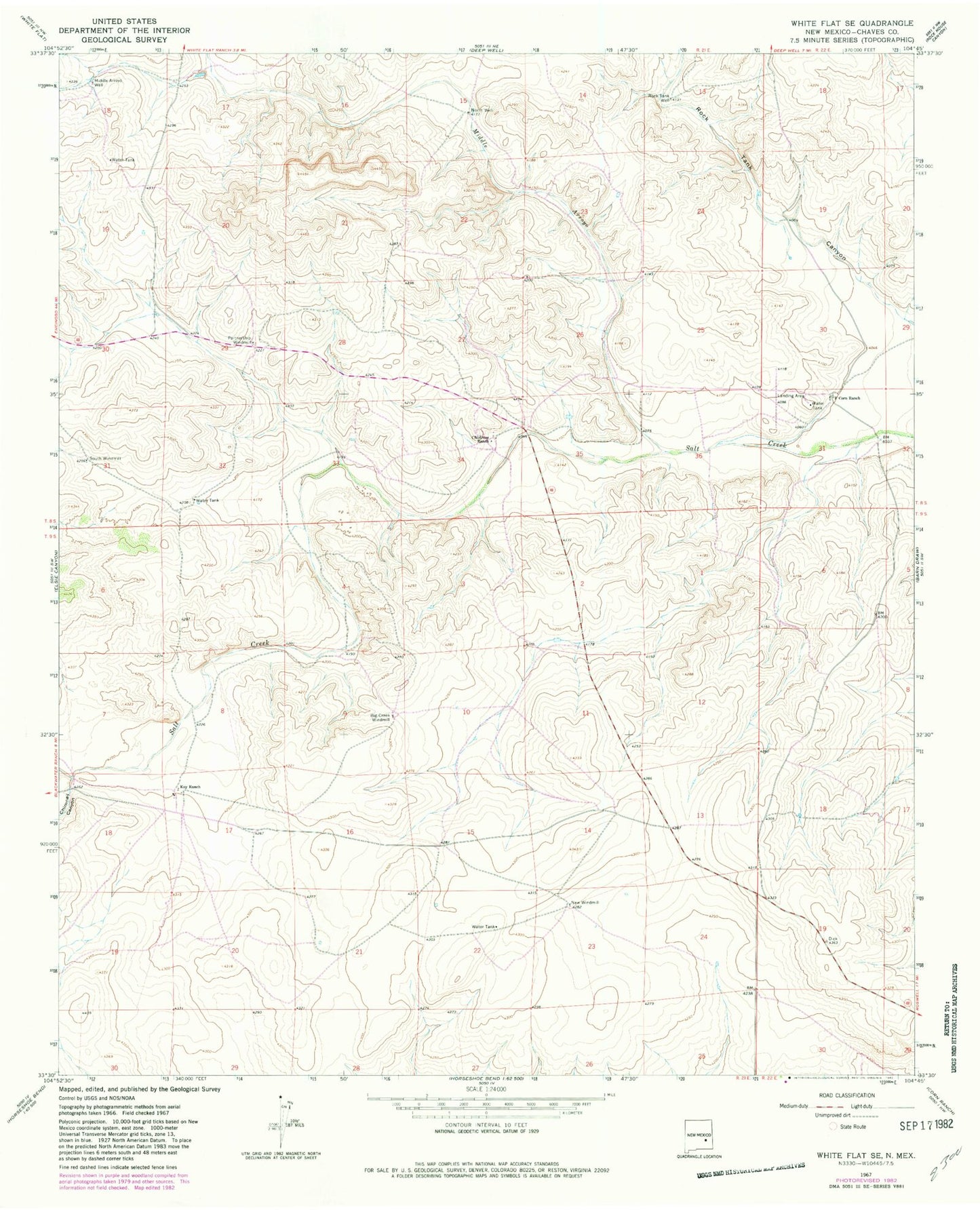
Historical USGS topographic quad map of White Flat SE in the state of New Mexico. Map scale may vary for some years, but is generally around 1:24,000. Print size is approximately 24" x 27"
This quadrangle is in the following counties: Chaves.
The map contains contour lines, roads, rivers, towns, and lakes. Printed on high-quality waterproof paper with UV fade-resistant inks, and shipped rolled.
Contains the following named places: Big Creek Windmill, Childress Ranch, Chimney Canyon, Corn Ranch, Koy Ranch, Middle Arroyo, Middle Arroyo Well, New Windmill, North Well, Partnership Windmill, Rock Tank Well, South Windmill