MyTopo
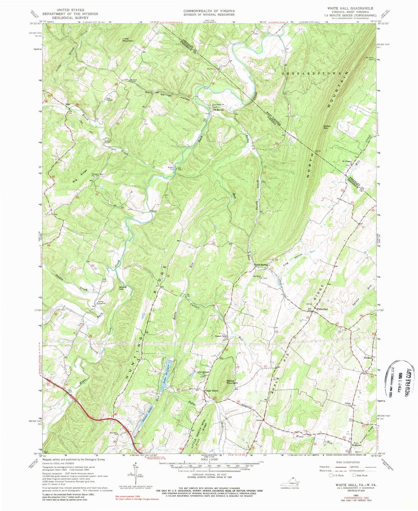
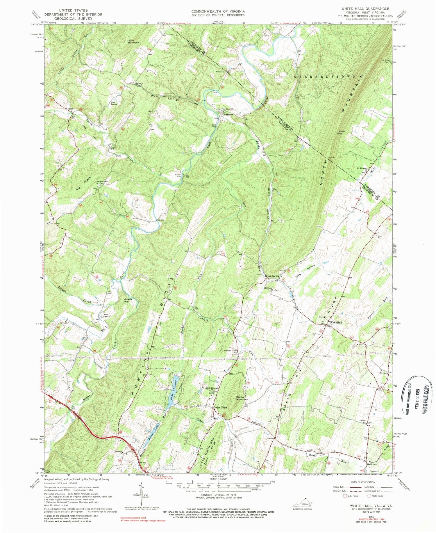
Classic USGS White Hall Virginia 7.5'x7.5' Topo Map
Couldn't load pickup availability
Historical USGS topographic quad map of White Hall in the states of Virginia, West Virginia. Map scale may vary for some years, but is generally around 1:24,000. Print size is approximately 24" x 27"
This quadrangle is in the following counties: Berkeley, Frederick.
The map contains contour lines, roads, rivers, towns, and lakes. Printed on high-quality waterproof paper with UV fade-resistant inks, and shipped rolled.
Contains the following named places: Apple Pie Ridge, Ashtons Mill, Babbs Mountain, Babbs Run, Baileys Ford, Barretts School, Bethany Hill Baptist Church, Big Ridge, Bonds School, Braddock Hills Estates, Browns School, Brush Creek, Butler Dam, Camp Sheemar, Cattail Run, Cedar Grove, Chestnut Grove Church, Chestnut Grove Estates, Chestnut Grove School, Claytons School, De Haveland Estates, De Haven, Dutton Gap, Fairview Church, Friends School, Frog Hollow, Gainesboro Elementary School, Galilee Church, Grave Hill, Green Spring, Green Spring Run, Green Spring School, Grimes, Grouse Hollow Estates, Highland Valley School, Hogue Creek, Howard Chapel, Howards Chapel School, Hunting Ridge School, Isaacs Creek, Lake Saint Clair, Lake Saint Clair Dam, Lake Serene, Light, Little Brush Creek, Little Mountain, Little Mountain Church, Little Mountain School, Lodge School, Lower Ridge School, McCubbins Ford Bridge, McCubin School, Mount Pleasant Cemetery, Mount Pleasant Church, North Mountain, Old Stone Church, Old Stone Church Cemetery, Old Stone School, Ole Orchard Estates, Parish Run, Partlett School, Peoples Country Church, Pine Grove School, Pine Grove United Methodist Church, Pleasant Valley Church, Ravenwood Estates, Shirley School, Siler, Siler Temple, Silver Lake, Silver Lake Dam, Sir John Addition, Upper Ridge School, Warm Springs Hollow, Welltown, Welltown School, Welltown United Methodist Church, White Hall, White Hall School, ZIP Code: 22603


