MyTopo
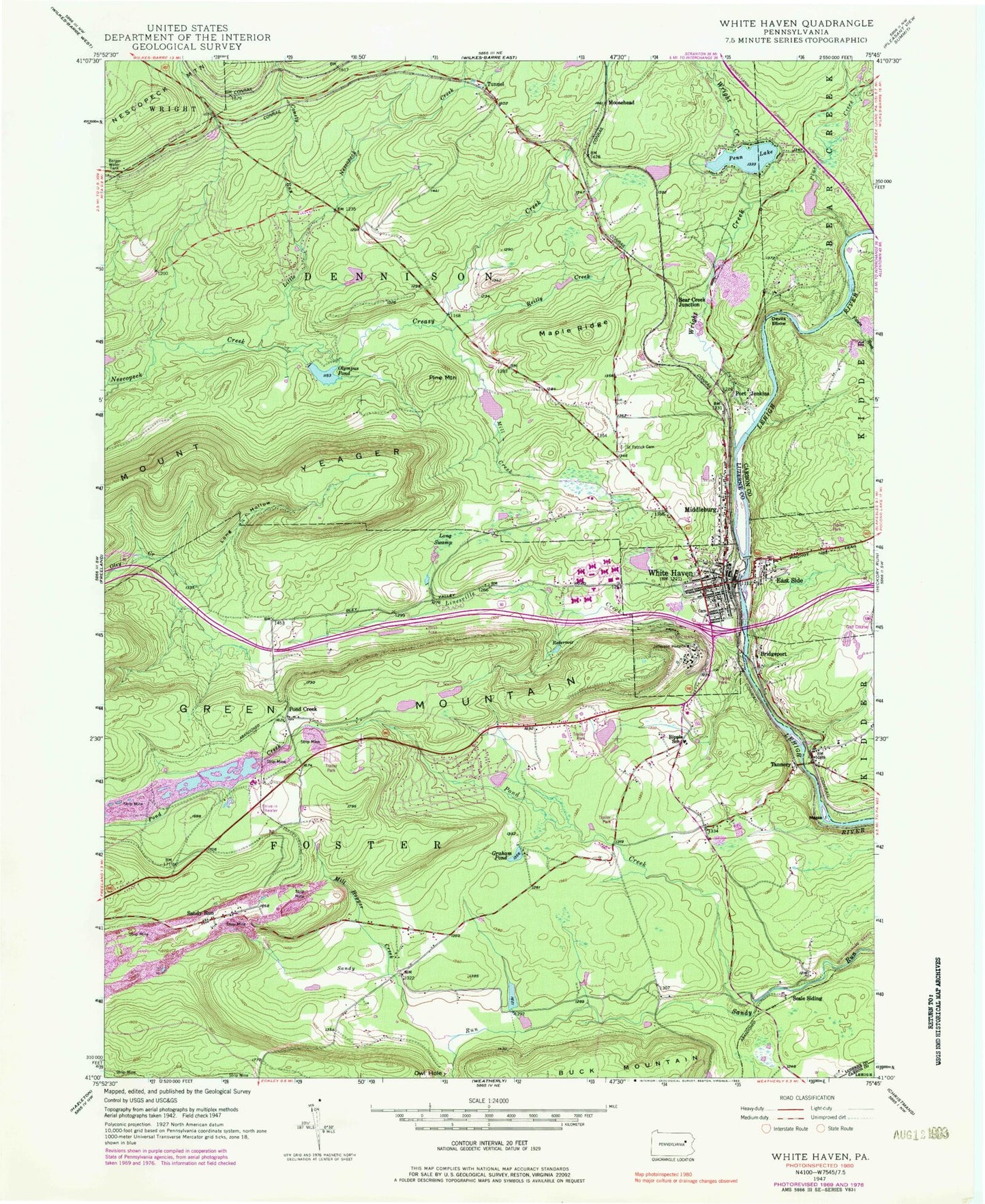
Classic USGS White Haven Pennsylvania 7.5'x7.5' Topo Map
Couldn't load pickup availability
Historical USGS topographic quad map of White Haven in the state of Pennsylvania. Map scale may vary for some years, but is generally around 1:24,000. Print size is approximately 24" x 27"
This quadrangle is in the following counties: Carbon, Luzerne.
The map contains contour lines, roads, rivers, towns, and lakes. Printed on high-quality waterproof paper with UV fade-resistant inks, and shipped rolled.
Contains the following named places: Bear Creek Junction, Borough of East Side, Borough of Penn Lake Park, Borough of White Haven, Bridgeport, Bryants Pond, Conety Run, Creasy Creek, Dennison Township Volunteer Fire Company Station 123, Devils Elbow, East Side, Fawn Run, Graham Pond, Green Mountain, Hickory Hills, Hickory Hills Census Designated Place, Ice Dam, Kidder Township Volunteer Fire Company District 18, Lake Penn Dam, Laurel Cemetery, Linesville Creek, Little Nescopeck Creek, Little Sandy Run, Long Hollow, Long Swamp, Maple Island, Maple Ridge, Middleburg, Mill Creek, Mill Hopper Creek, Moosehead, Mount Yeager, Olympus Dam, Olympus Pond, Owl Hole, Penn Lake, Penn Lake Dam, Penn Lake Park, Pine Creek, Pine Mountain, Pocono Hershey Resort Golf Course, Pond Creek, Pond Creek Colliery, Pond Creek Junction, Port Jenkins, Rattling Run, Ray T Mantz Dam, Reilly Creek, Ripple School, Saint Patrick Cemetery, Sandy Run, Sandy Run Colliery, Sandy Run Junction, Santer Springs Dam, Scale Siding, State Game Lands Number 187, Sunrise Lake, Sunrise Lake Dam, Tannery, Tannery Creek, Township of Dennison, Township of Foster, Tunnel, Water Supply Dam, White Haven, White Haven Ambulance Station 586, White Haven Center, White Haven Dam, White Haven Fire Company Station 186, White Haven Police Department, White Haven Post Office, Wright Creek, ZIP Code: 18224


