MyTopo
Classic USGS White Horse Lake Arizona 7.5'x7.5' Topo Map
Couldn't load pickup availability
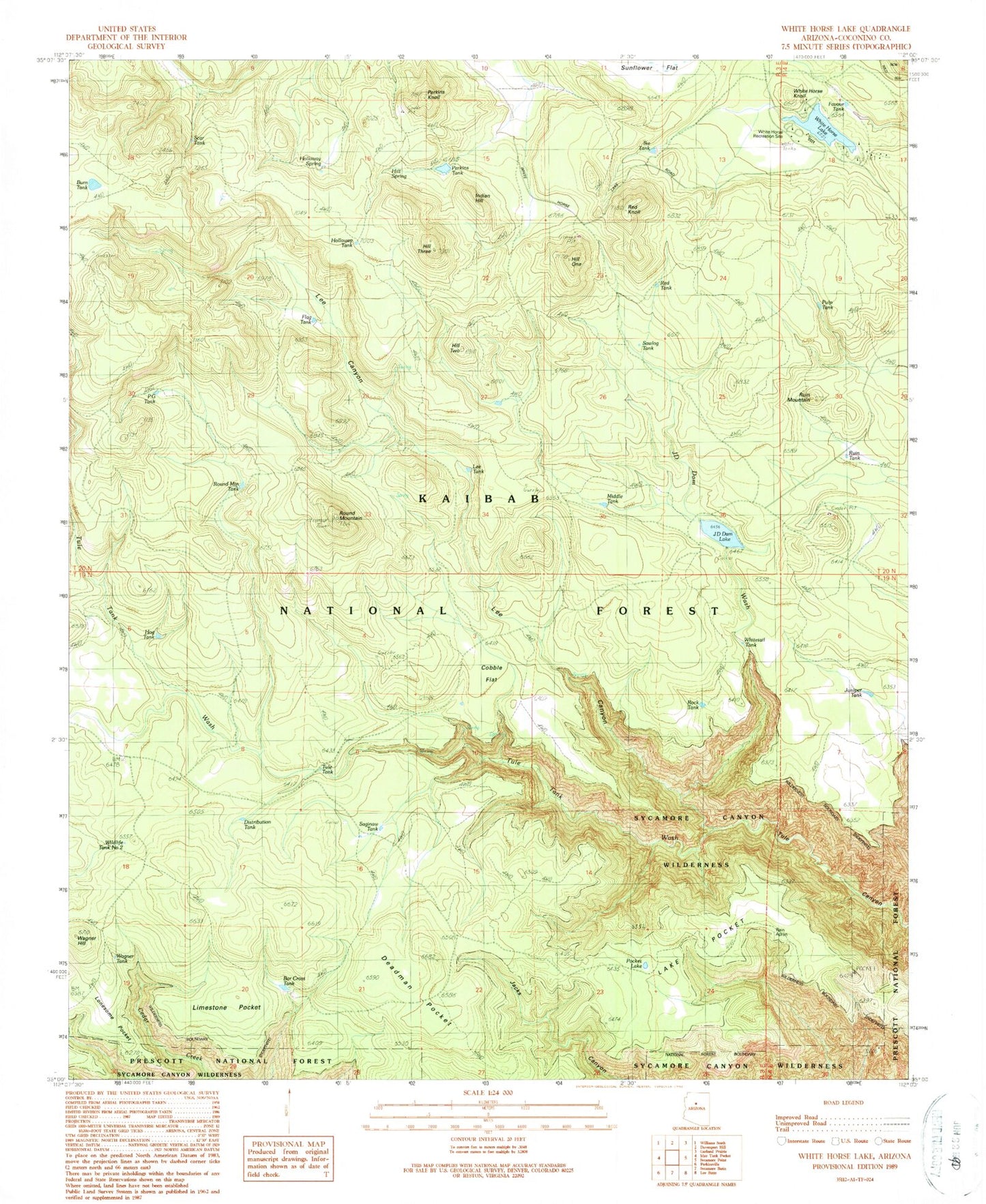
Historical USGS topographic quad map of White Horse Lake in the state of Arizona. Typical map scale is 1:24,000, but may vary for certain years, if available. Print size: 24" x 27"
This quadrangle is in the following counties: Coconino.
The map contains contour lines, roads, rivers, towns, and lakes. Printed on high-quality waterproof paper with UV fade-resistant inks, and shipped rolled.
Contains the following named places: Bar Cross Tank, Cobble Flat, Deadman Pocket, Favour Tank, Flag Tank, Hill One, Hill Two, Hill Three, Hitt Spring, Holloway Spring, Ike Tank, JD Dam Lake, JD Dam Wash, Lake Pocket, Lee Canyon, Lonesome Pocket, Limestone Pocket, Perkins Knoll, Perkins Tank, Pocket Lake, Red Knoll, Round Mountain, Round Mountain Tank, Ruin Mountain, Ruin Tank, Tule Tank Wash, Wagner Hill, White Horse Knoll, White Horse Lake, Burn Tank, Sawlog Tank, Scar Tank, Tule Tank, White Horse Ranger Station, White Horse Recreation Site, Whitetail Tank, Distribution Tank, Middle Tank, PG Tank, Hog Tank, Wagner Tank, Saginaw Tank, Lee Tank, Red Tank, Rock Tank, Pulp Tank, Indian Hill, Wildlife Tank Number Two, Juniper Tank, Holloway Tank, Elk Tank, Boulder Tank, Rain Trick Tank, White Horse Lake Family Campground


