MyTopo
Classic USGS White Lakes Washington 7.5'x7.5' Topo Map
Regular price
$16.95
Regular price
Sale price
$16.95
Unit price
per
Couldn't load pickup availability
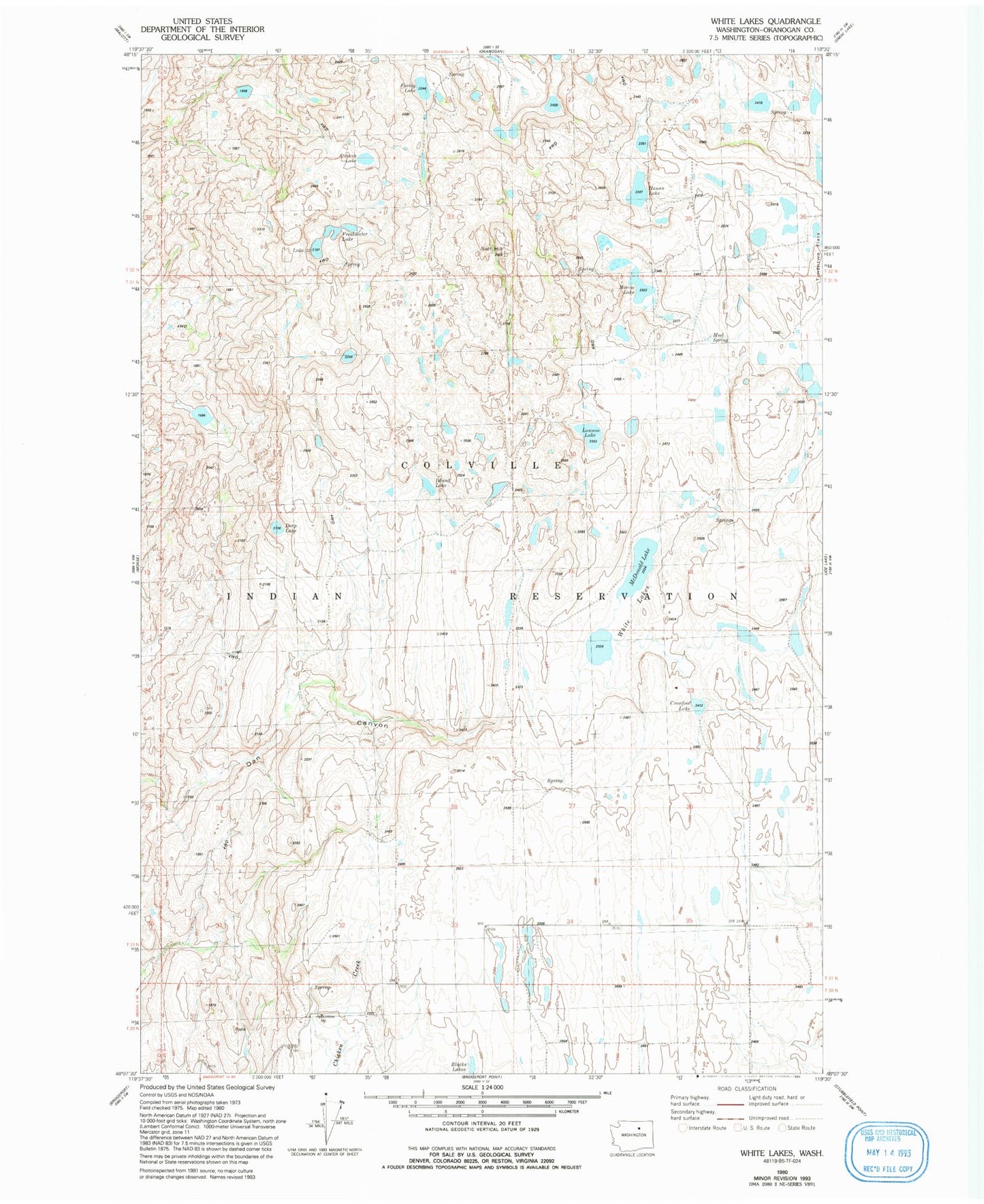
Historical USGS topographic quad map of White Lakes in the state of Washington. Map scale may vary for some years, but is generally around 1:24,000. Print size is approximately 24" x 27"
This quadrangle is in the following counties: Okanogan.
The map contains contour lines, roads, rivers, towns, and lakes. Printed on high-quality waterproof paper with UV fade-resistant inks, and shipped rolled.
Contains the following named places: Alkali Pond, Crowfoot Lake, Deep Lake, Farley Lake, Freshwater Lake, Hauan Lake, Island Lake, Lake Thirty-Two, Lawson Lake, McDonald Lake, Morris Lake, Mud Spring, Salt Hill, Stevens Lake, White Lakes