MyTopo
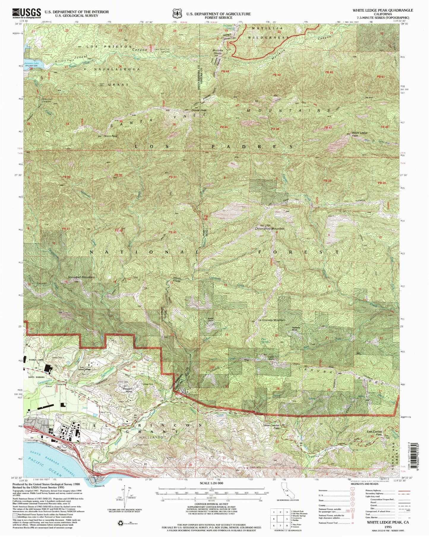
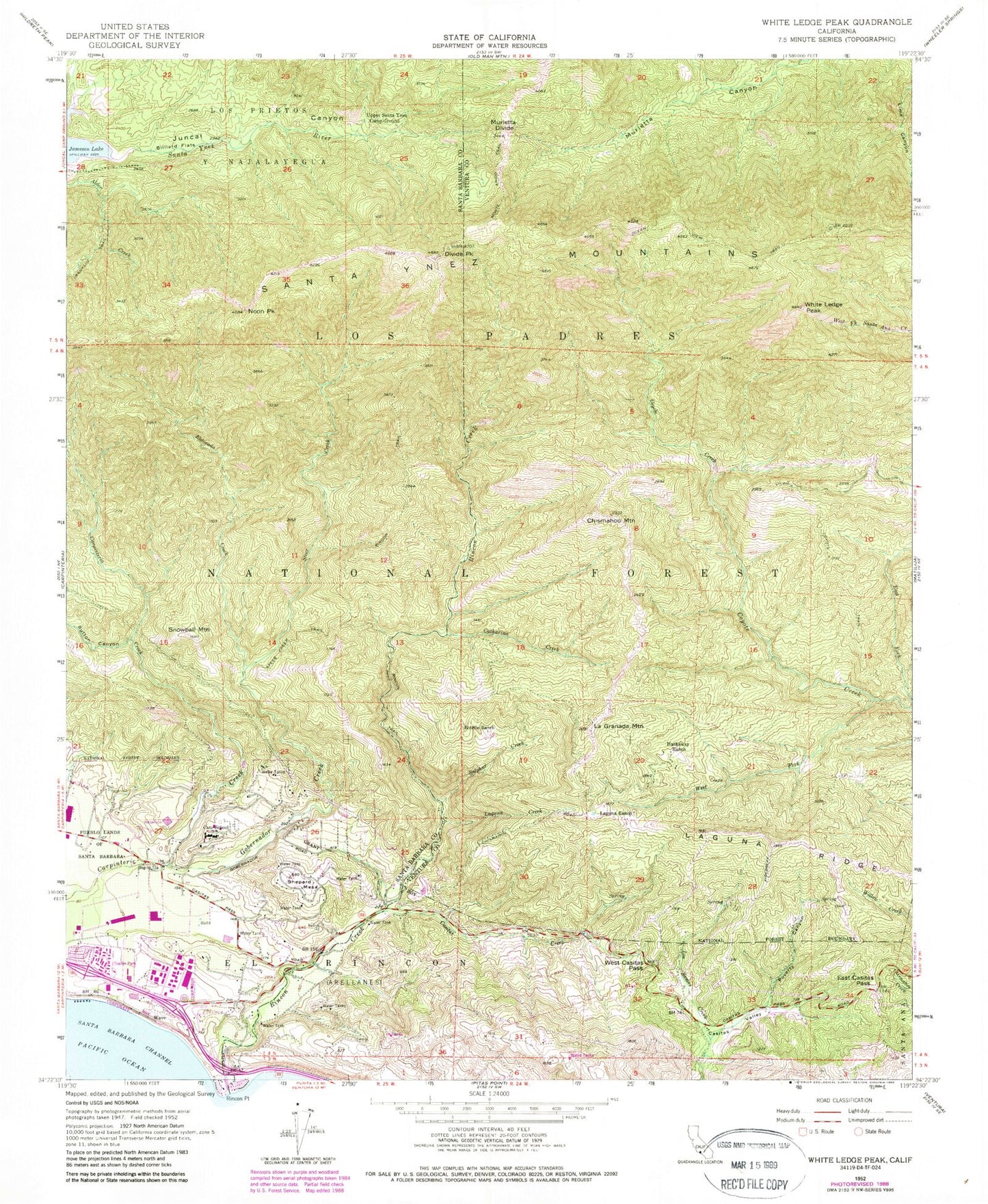
Classic USGS White Ledge Peak California 7.5'x7.5' Topo Map
Couldn't load pickup availability
Historical USGS topographic quad map of White Ledge Peak in the state of California. Map scale may vary for some years, but is generally around 1:24,000. Print size is approximately 24" x 27"
This quadrangle is in the following counties: Santa Barbara, Ventura.
The map contains contour lines, roads, rivers, towns, and lakes. Printed on high-quality waterproof paper with UV fade-resistant inks, and shipped rolled.
Contains the following named places: Alder Creek Campground, Alder Rustic Campsite, Billiard Flats, Botello Ranch, Carpinteria Dam, Carpinteria Reservoir, Casitas Creek, Casitas Valley, Cate High School, Catharina Creek, Chismahoo Mountain, Coyote Trail, Divide Peak, East Casitas Pass, East Fork Coyote Creek, El Rincon, Eldorado Creek, Gobernador Creek, Hathaway Ranch, Juncal Canyon, La Granada Mountain, Laguna Creek, Laguna Ranch, Laguna Ridge, Lions Club Park, Monte Arido Trail, Monte Vista Park, Murietta Campground, Murietta Dam, Murietta Divide, Murietta Rustic Campsite, Noon Peak, Ocean View Trail, Poverty Canyon, Rincon Beach County Park, Rincon Station, Rincon Trail, Santa Ynez Mountains, Shepards, Shephard Mesa, Snowball Mountain, Steer Creek, Steer Creek Trail, Sulphur Creek, Superior Ridge, Sutton Canyon, Sutton Creek, Upper Santa Ynez Camp Ground, Vista de Santa Barbara Mobile Homes, Wave, West Casitas Pass, West Fork Coyote Creek, White Ledge Peak


