MyTopo
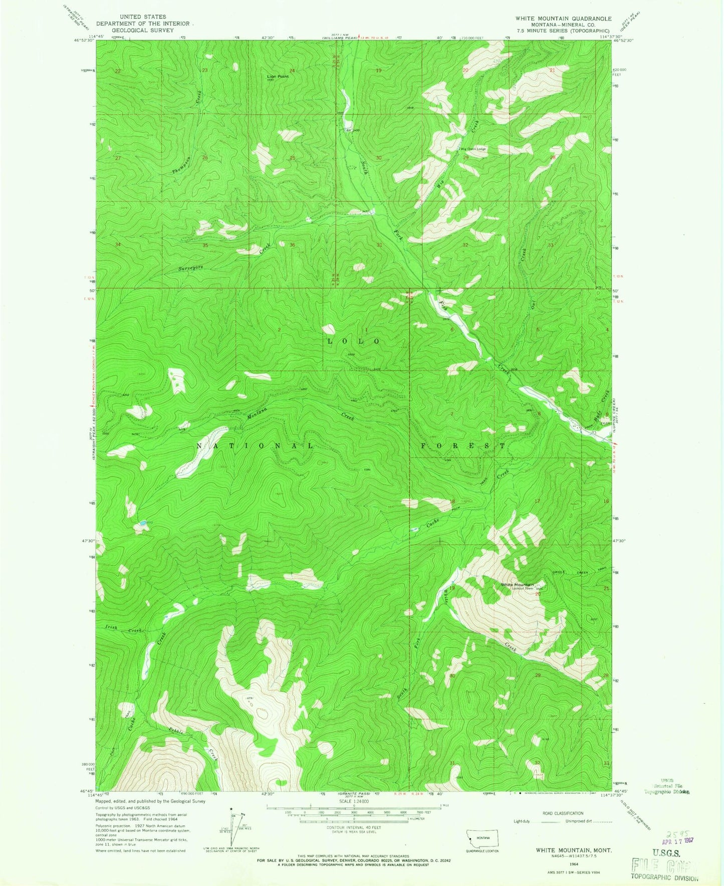
Classic USGS White Mountain Montana 7.5'x7.5' Topo Map
Regular price
$16.95
Regular price
Sale price
$16.95
Unit price
per
Couldn't load pickup availability
Historical USGS topographic quad map of White Mountain in the state of Montana. Map scale may vary for some years, but is generally around 1:24,000. Print size is approximately 24" x 27"
This quadrangle is in the following counties: Mineral.
The map contains contour lines, roads, rivers, towns, and lakes. Printed on high-quality waterproof paper with UV fade-resistant inks, and shipped rolled.
Contains the following named places: Burdette Creek, Cache Creek, Hamilton Nine, Hyde Creek, Irish Creek, Lion Point, Montana Creek, O Neil Creek, Owl Creek, Pebble Creek, South Fork White Creek, Surveyors Creek, White Creek, White Mountain, White Mountain Lookout Tower, Wig Creek