MyTopo
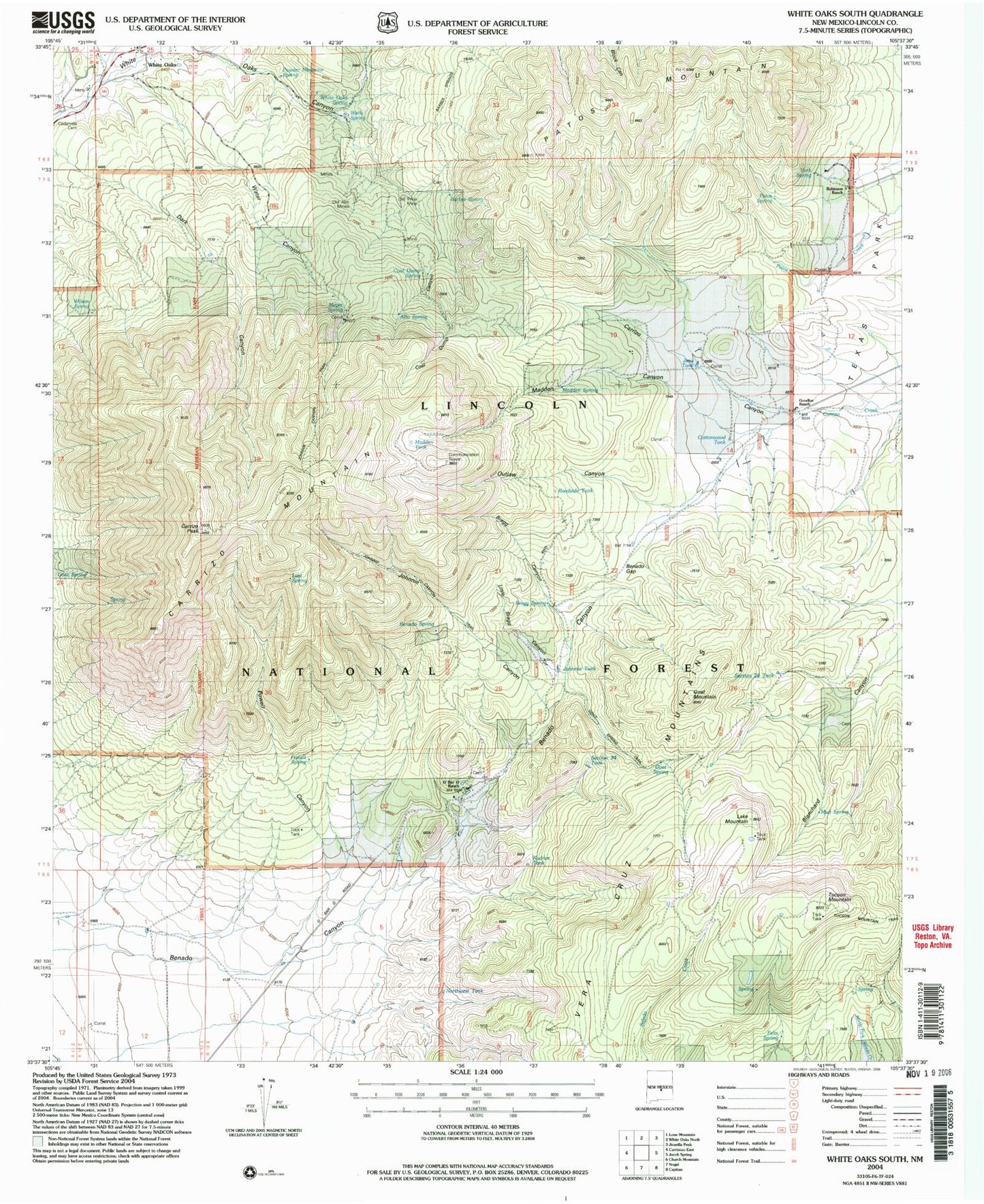
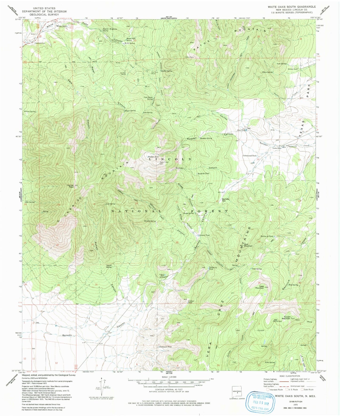
Classic USGS White Oaks South New Mexico 7.5'x7.5' Topo Map
Couldn't load pickup availability
Historical USGS topographic quad map of White Oaks South in the state of New Mexico. Typical map scale is 1:24,000, but may vary for certain years, if available. Print size: 24" x 27"
This quadrangle is in the following counties: Lincoln.
The map contains contour lines, roads, rivers, towns, and lakes. Printed on high-quality waterproof paper with UV fade-resistant inks, and shipped rolled.
Contains the following named places: Alto Spring, Barber Spring, Barber Springs Trail, Benado Canyon, Benado Gap, Benado Spring, Bragg Canyon, Bragg Spring, Carrizo Canyon, Carrizo Peak, Carrizo Peak Trail, Cedarvale Cemetery, Coal Dump Canyon, Coal Dump Spring, Cottonwood Tank, Felix Spring, Goat Mountain, Goat Spring, Goat Spring, Goodloe Ranch, Jims Tank, Johnnie Canyon, Johnnie Tank, Kudner Tank, Lake Mountain, Little Bragg Canyon, Lone Mountain Canyon, Lost Spring, Madden Canyon, Madden Spring, Madden Tank, Meyer Spring, Mud Spring, Northwest Tank, O Bar O Ranch, Old Abe Mines, Old Price Mine, Outlaw Canyon, Patos Mountain, Patos Mountain Trail, Patos Spring, Powder Magazine Spring, Powell Canyon, Powell Spring, Roadside Tank, Robinson Ranch, Section Twenty-six Tank, Section Thirty-four Tank, Tucson Mountain Trail, Water Canyon, Wells Spring, White Oaks, White Oaks Draw, White Oaks Spring, Wilson Spring, York Spring, Wells and Parker Mine, In-Situ M and T Corporation of America, Lincoln Light and Power Company Mine, Wildcat, Williams, Price, Carrizo Mountain, White Oaks Historic District, White Oaks Post Office (historical), Martin Mine, Emeline Mine, Old Abe Mine Number 1 Mine, Old Abe Mine Number 2 Mine, Tucson Mountain


