MyTopo
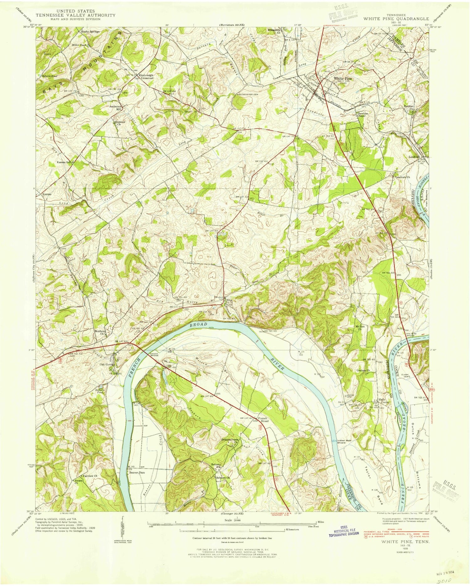
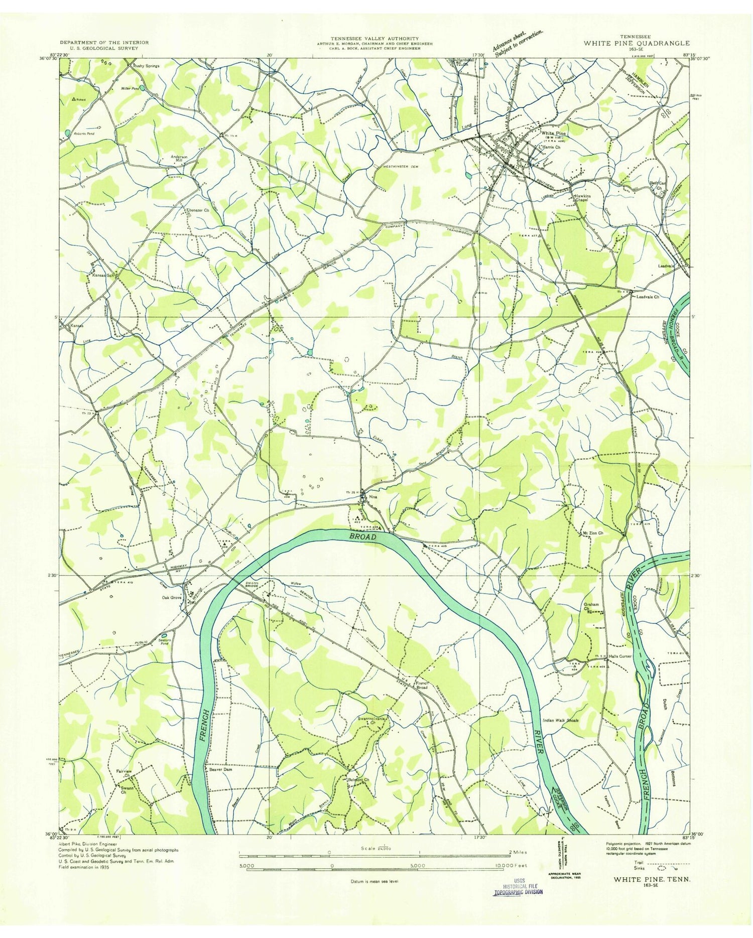
Classic USGS White Pine Tennessee 7.5'x7.5' Topo Map
Couldn't load pickup availability
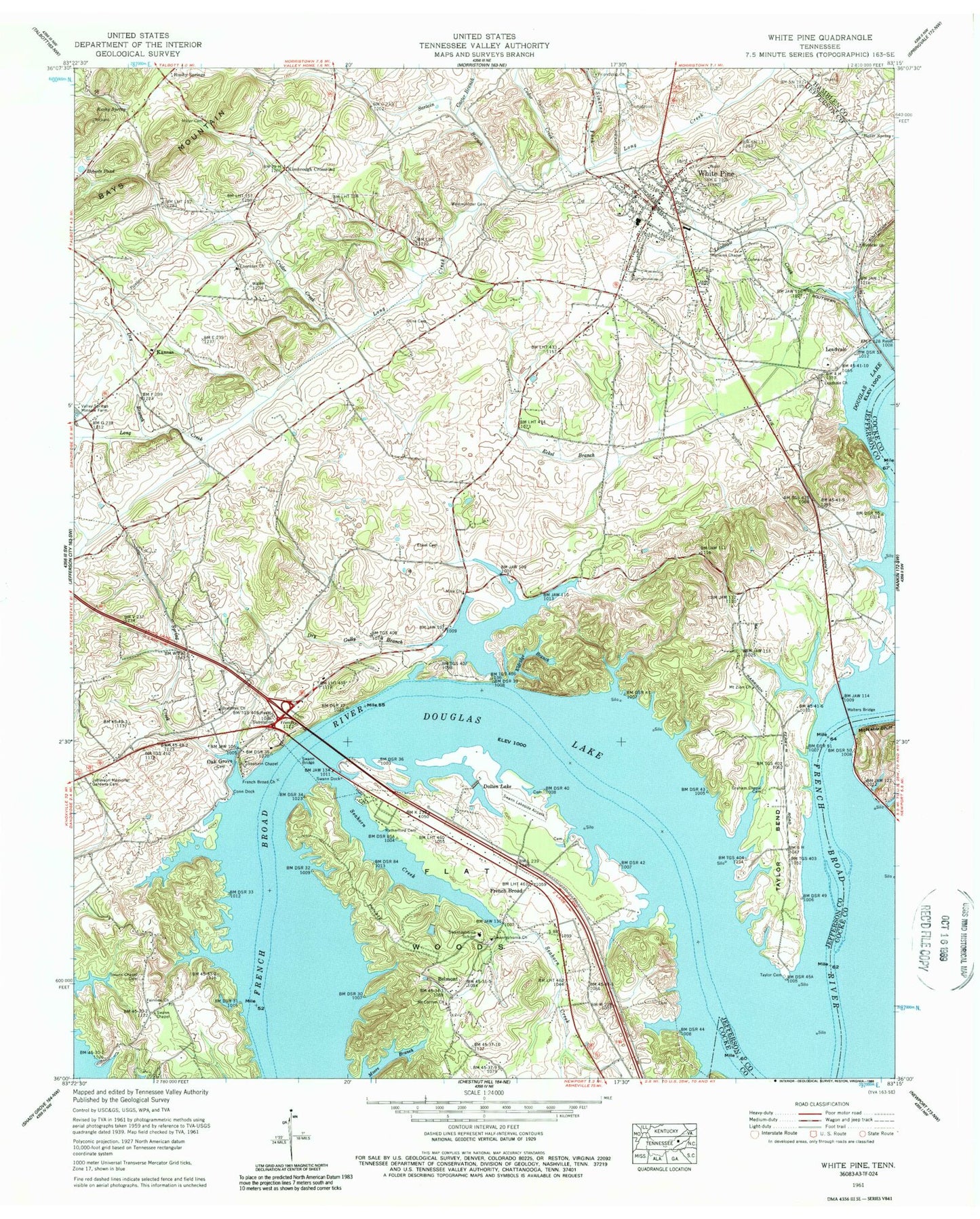
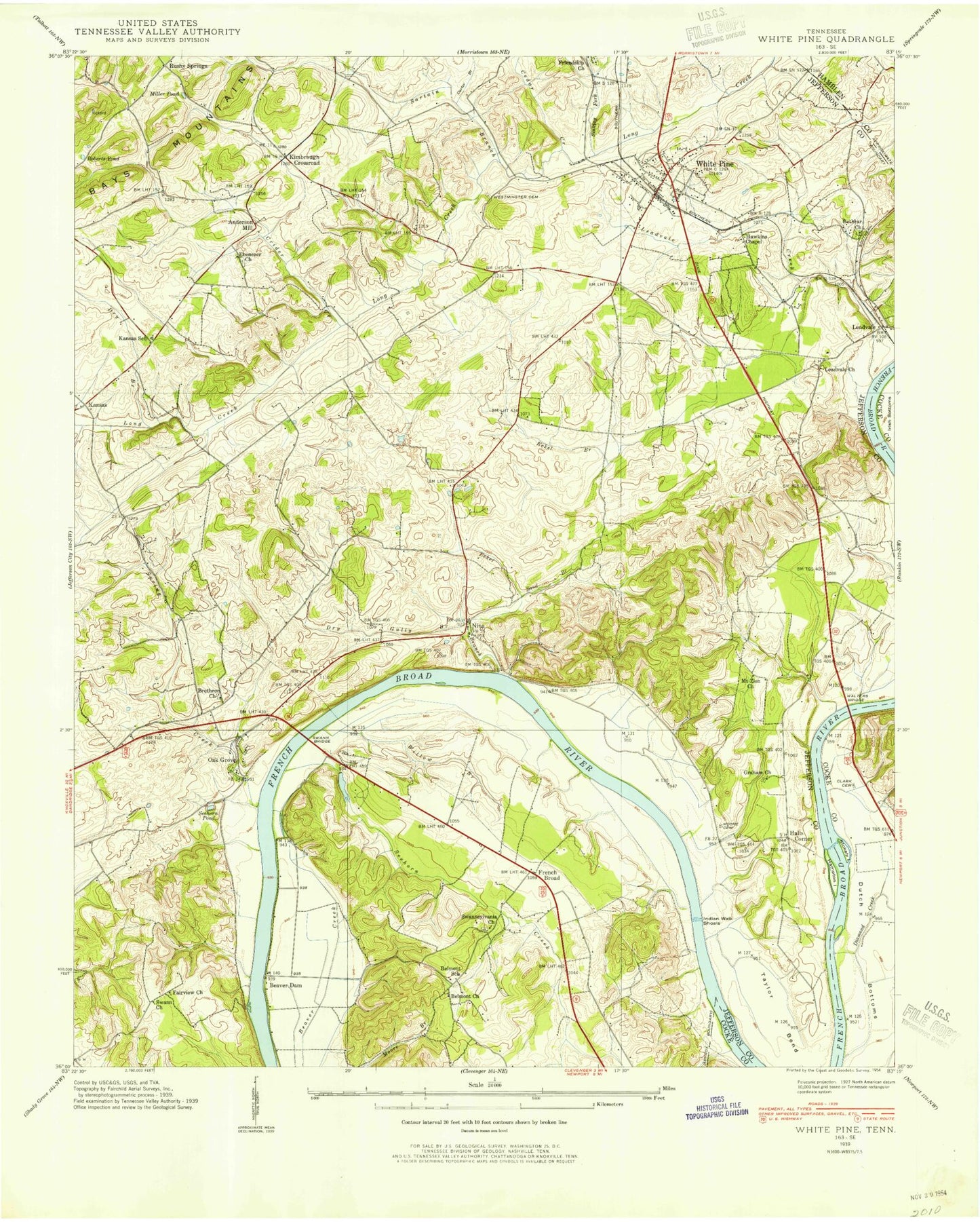
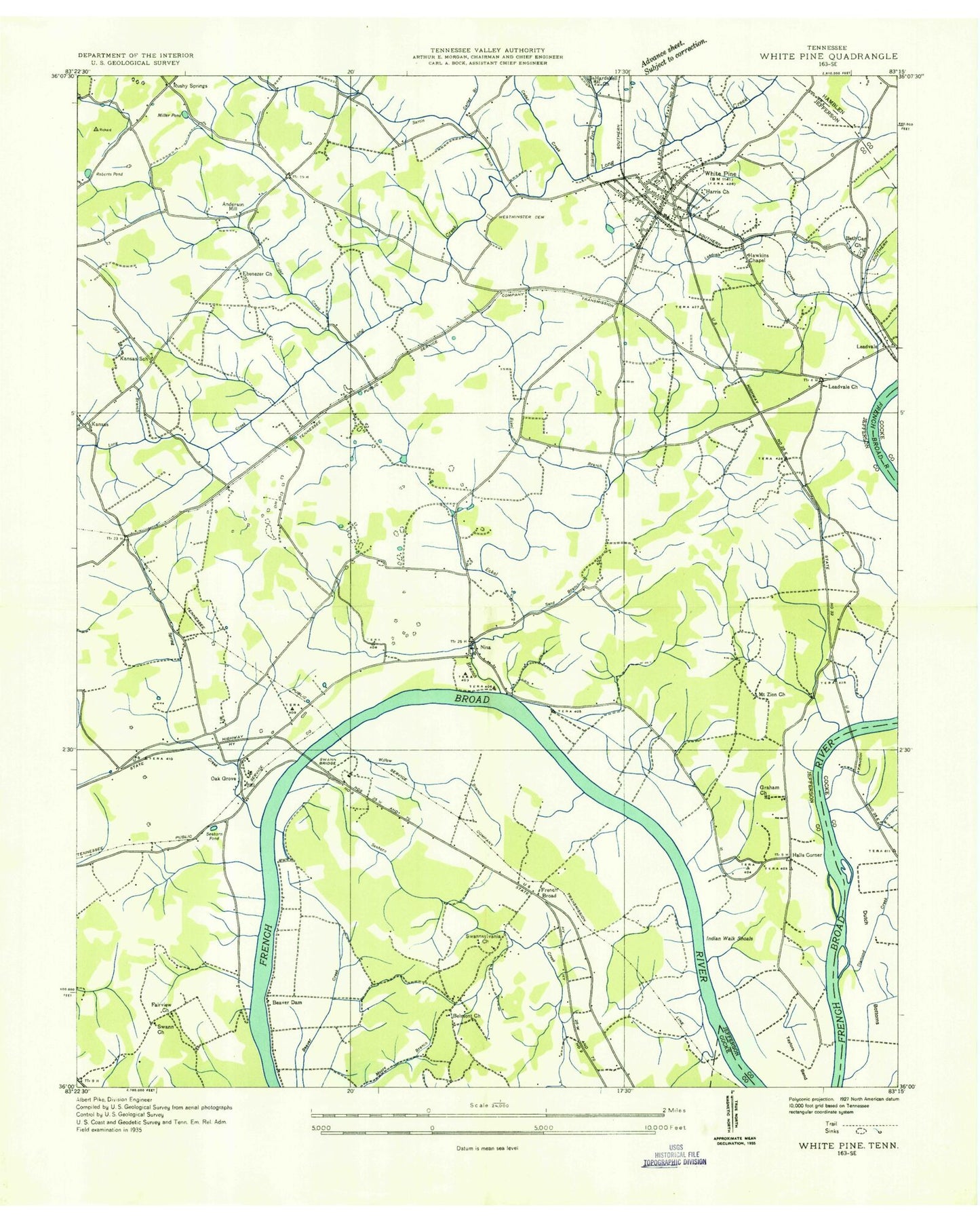
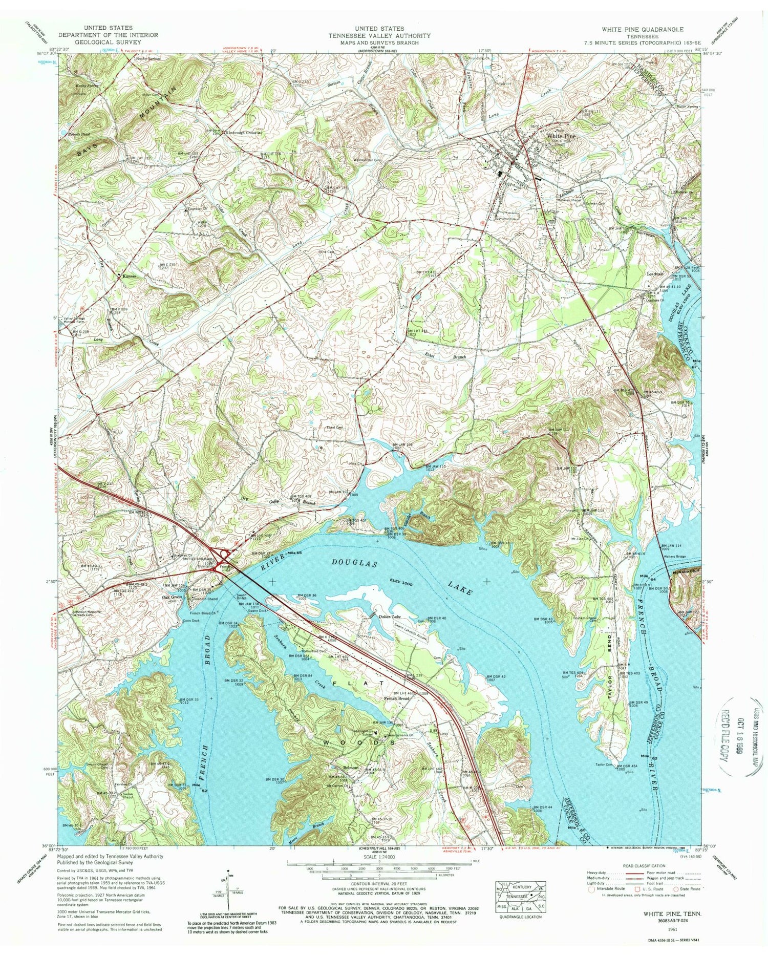
Historical USGS topographic quad map of White Pine in the state of Tennessee. Typical map scale is 1:24,000, but may vary for certain years, if available. Print size: 24" x 27"
This quadrangle is in the following counties: Cocke, Hamblen, Jefferson.
The map contains contour lines, roads, rivers, towns, and lakes. Printed on high-quality waterproof paper with UV fade-resistant inks, and shipped rolled.
Contains the following named places: Spring Creek, Swann Bridge, Swann Chapel Cemetery, Taylor Cemetery, Valley Springs Minnow Farm, Westminister Cemetery, Baker Spring, Belmont, Brethren Church, Carter Branch, Cedar Creek, Cline Cemetery, Colman Cemetery, Conn Dock, Crider Creek, Dalton Lake, Dry Branch, Dry Gully Branch, Ebenezer Church, Eckel Branch, Eckel Cemetery, Eldridge Branch, Fairview Church, Flat Woods, French Broad, French Broad Church, Friendship Church, Graham Chapel Cemetery, Hankins Chapel, Jefferson Memorial Gardens Cemetery, Kansas, Leadvale Church, Leadvale Creek, Miller Cemetery, Mount Carmel Church, Mount Zion Church, Nina Church, Roberts Pond, Rushy Spring, Rutherford Cemetery, Sartain Branch, Seahorn Chapel, Baneberry, Sinking Creek, Swann Chapel, Swann Dock, Swannsylvania Church, Taylor Bend, Walters Bridge, White Pine, Bethcar Church, Dutch Bottoms, Beaver Dam (historical), Blue Hole Spring, Copeland Shoals, Hayes Ferry (historical), Indian Walk Shoals, Lick Branch, Miller Pond (historical), Sand Branch, Seahorn Pond (historical), Swann, Swannsylvania, Willow Branch (historical), Kimbrough Crossroad, Leadvale, Oak Grove, Rushy Springs, Anderson Mill (historical), Banberry Golf and Country Club, Belmont Cemetery, Belmont Methodist Church, Belmont School (historical), Fanchers Willow Branch Campground, Graham Church (historical), Graham School (historical), Halls Corner, Harris Chapel United Church, Helm Cemetery, Holly Oaks, Kansas School (historical), Mount Carmel Cemetery, Nina, Old Daughty Cemetery, Old Turnley Cemetery, Pine Chapel Cemetery, Starnes Cemetery, Swann Lakeside Airpark (historical), Swannsylvania Cemetery, White Pine Elementary School, White Pine First Baptist Church, White Pine Golf Course, Fairview School (historical), Robinson Ferry Shoals, Robinson Ferry (historical), Allens Shoals, Hamptons Shoals, Taylor Shoals, Ayletts Ferry (historical), Beaver Dam Shoals, Evans Shoals, Swannsylvania Elementary School, White Pine Division (historical), Seehorn Creek, City of Baneberry, Town of White Pine, Commissioner District 3, Countryside Mobile Home Park, White Pine Mobile Home Park, White Pine Volunteer Fire Department, Baneberry Volunteer Fire Department, White Pine Police Department, White Pine Post Office, Spring Creek, Swann Bridge, Swann Chapel Cemetery, Taylor Cemetery, Valley Springs Minnow Farm, Westminister Cemetery, Baker Spring, Belmont, Brethren Church, Carter Branch, Cedar Creek, Cline Cemetery, Colman Cemetery, Conn Dock, Crider Creek, Dalton Lake, Dry Branch, Dry Gully Branch, Ebenezer Church, Eckel Branch, Eckel Cemetery, Eldridge Branch, Fairview Church, Flat Woods, French Broad, French Broad Church, Friendship Church, Graham Chapel Cemetery, Hankins Chapel, Jefferson Memorial Gardens Cemetery, Kansas, Leadvale Church, Leadvale Creek, Miller Cemetery, Mount Carmel Church, Mount Zion Church, Nina Church, Roberts Pond, Rushy Spring, Rutherford Cemetery, Sartain Branch, Seahorn Chapel, Baneberry, Sinking Creek, Swann Chapel, Swann Dock, Swannsylvania Church, Taylor Bend, Walters Bridge, White Pine, Bethcar Church, Dutch Bottoms, Beaver Dam (historical), Blue Hole Spring, Copeland Shoals, Hayes Ferry (historical), Indian Walk Shoals, Lick Branch, Miller Pond (historical), Sand Branch, Seahorn Pond (historical), Swann, Swannsylvania, Willow Branch (historical), Kimbrough Crossroad, Leadvale, Oak Grove, Rushy Springs, Anderson Mill (historical), Banberry Golf and Country Club, Belmont Cemetery, Belmont Methodist Church, Belmont School (historical), Fanchers Willow Branch Campground, Graham Church (historical), Graham School (historical), Halls Corner, Harris Chapel United Church, Helm Cemetery, Holly Oaks, Kansas School (historical), Mount Carmel Cemetery, Nina, Old Daughty Cemetery, Old Turnley Cemetery, Pine Chapel Cemetery, Starnes Cemetery, Swann Lakeside Airpark (historical), Swannsylvania Cemetery, White Pine Elementary School, White Pine First Baptist Church, White Pine Golf Course, Fairview School (historical), Robinson Ferry Shoals, Robinson Ferry (historical), Allens Shoals, Hamptons Shoals, Taylor Shoals, Ayletts Ferry (historical), Beaver Dam Shoals, Evans Shoals, Swannsylvania Elementary School, White Pine Division (historical), Seehorn Creek, City of Baneberry, Town of White Pine, Commissioner District 3, Countryside Mobile Home Park, White Pine Mobile Home Park, White Pine Volunteer Fire Department, Baneberry Volunteer Fire Department, White Pine Police Department, White Pine Post Office
