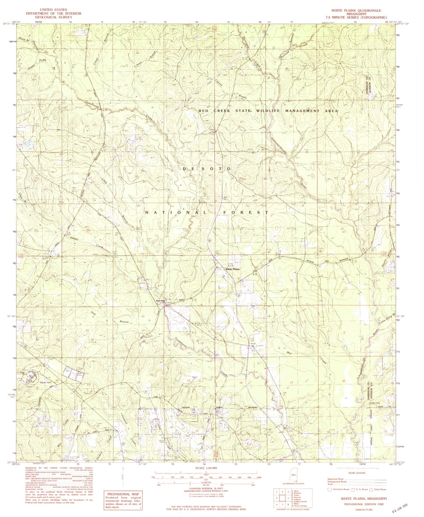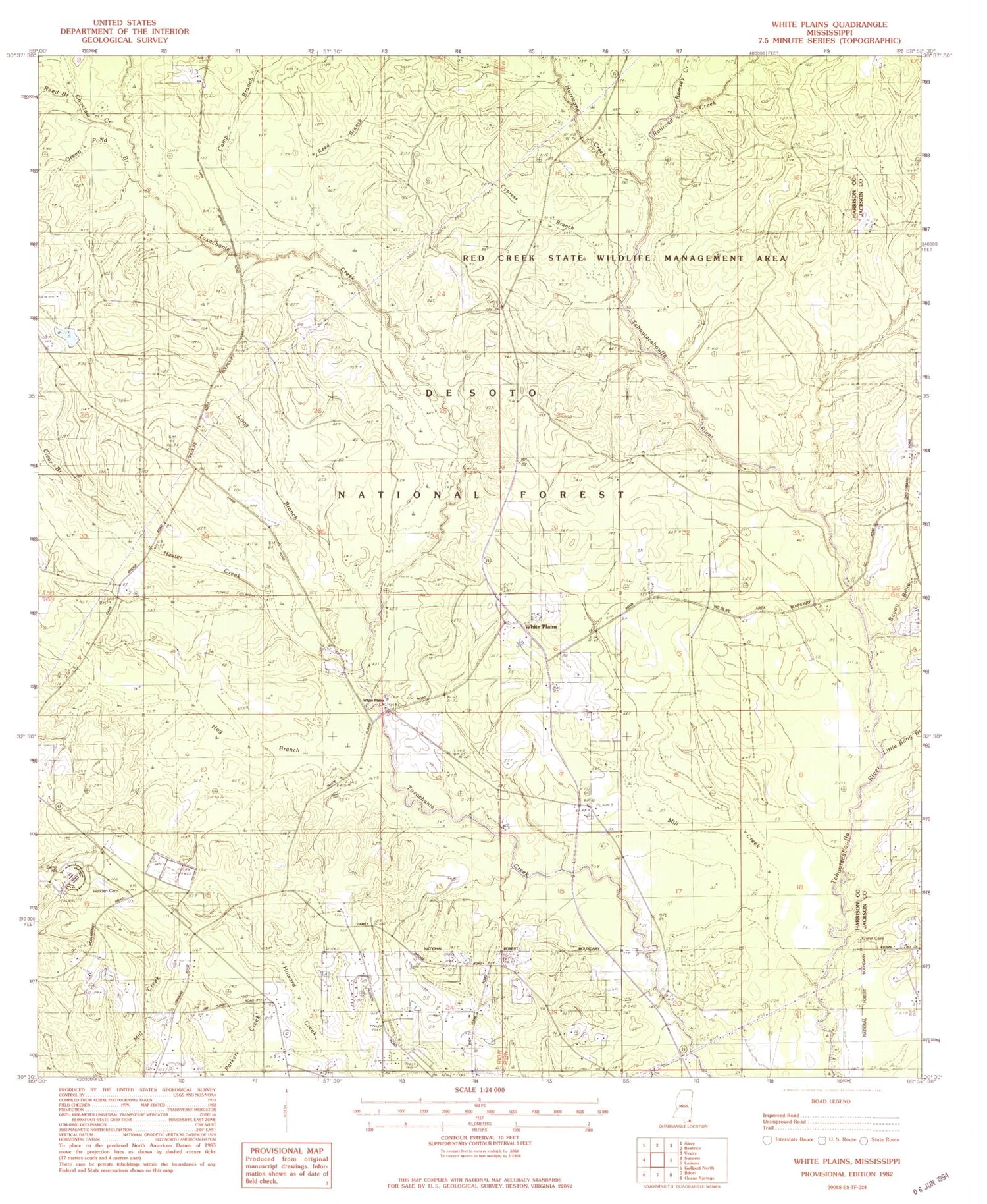
MyTopo
Classic USGS White Plains Mississippi 7.5'x7.5' Topo Map
Couldn't load pickup availability
Historical USGS topographic quad map of White Plains in the state of Mississippi. Map scale may vary for some years, but is generally around 1:24,000. Print size is approximately 24" x 27"
This quadrangle is in the following counties: Harrison, Jackson.
The map contains contour lines, roads, rivers, towns, and lakes. Printed on high-quality waterproof paper with UV fade-resistant inks, and shipped rolled.
Contains the following named places: Bayou Billie, Camp Branch, Camp Hill, Cates Mobile Home Park, Choctaw Creek, Clear Branch, Cypress Branch, Green Pond Branch, Harrison County Fire Rescue Station Number 11, Harrison County Fire Rescue Station Number 12, Heritage Baptist Church, Hester Creek, Hog Branch, Hurricane Bay Branch, Hurricane Creek, Krohn Cemetery, Leisure Lake Resort Recreational Vehicle Park, Little Bang Branch, Long Branch, Mill Creek, Pasture Branch, Progress School, Railroad Creek, Ramsey Creek, Reed Branch, Walden Cemetery, White Plains, White Plains Church, Woolmarket Community Center