MyTopo
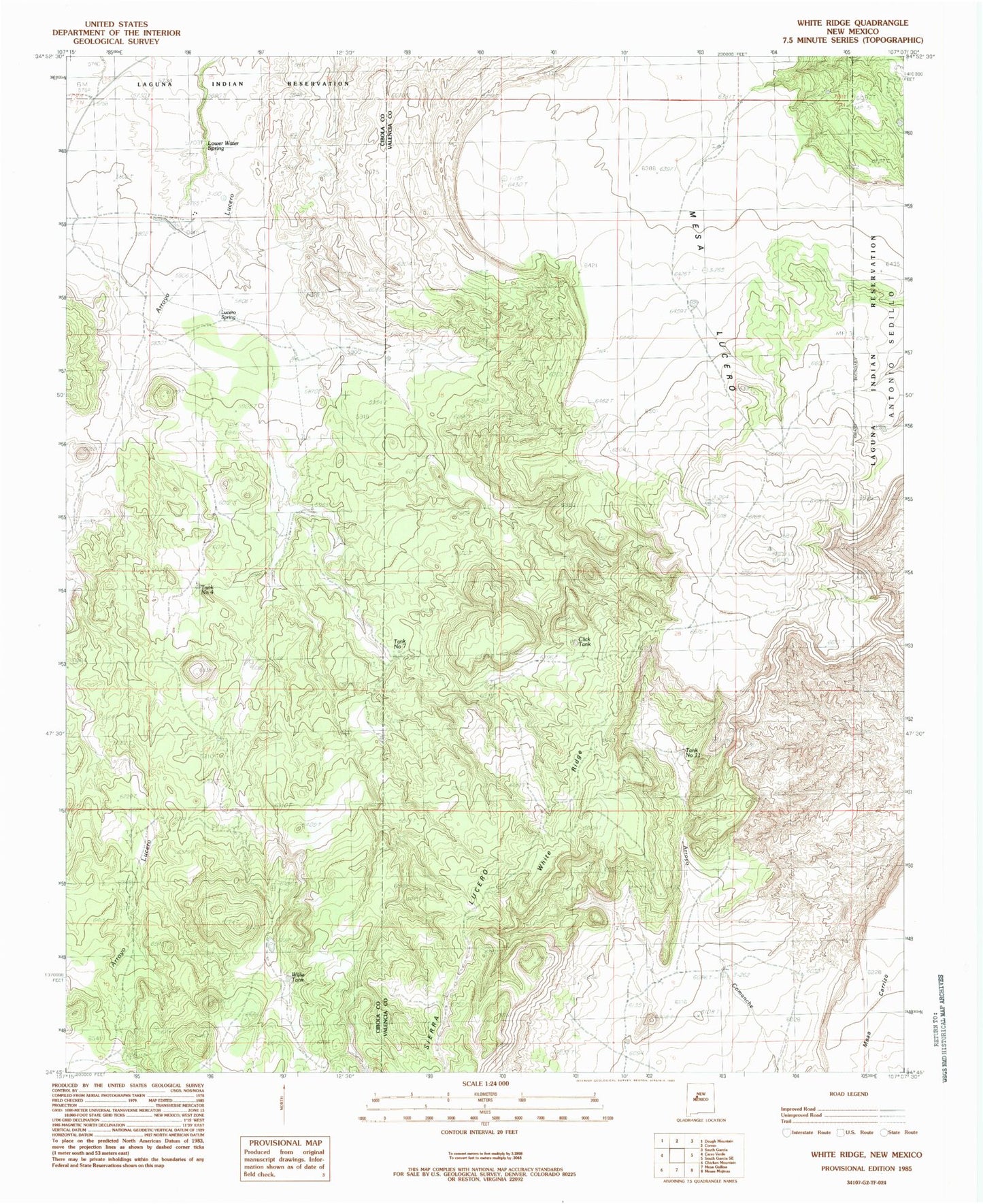
Classic USGS White Ridge New Mexico 7.5'x7.5' Topo Map
Couldn't load pickup availability
Historical USGS topographic quad map of White Ridge in the state of New Mexico. Map scale may vary for some years, but is generally around 1:24,000. Print size is approximately 24" x 27"
This quadrangle is in the following counties: Cibola, Valencia.
The map contains contour lines, roads, rivers, towns, and lakes. Printed on high-quality waterproof paper with UV fade-resistant inks, and shipped rolled.
Contains the following named places: Click Tank, Denison Tank, Fenceline Windmill, Lower Water Spring, Lucero Spring, Lucero Windmill, Mesa Carrizo, Mesa Lucero, O R Windmill, Place Windmill, Red Windmill, Romero, Sunset Mine, T X Ranch, Tank Number 11, Tank Number 4, Tank Number 7, White Ridge, Willie Tank