MyTopo
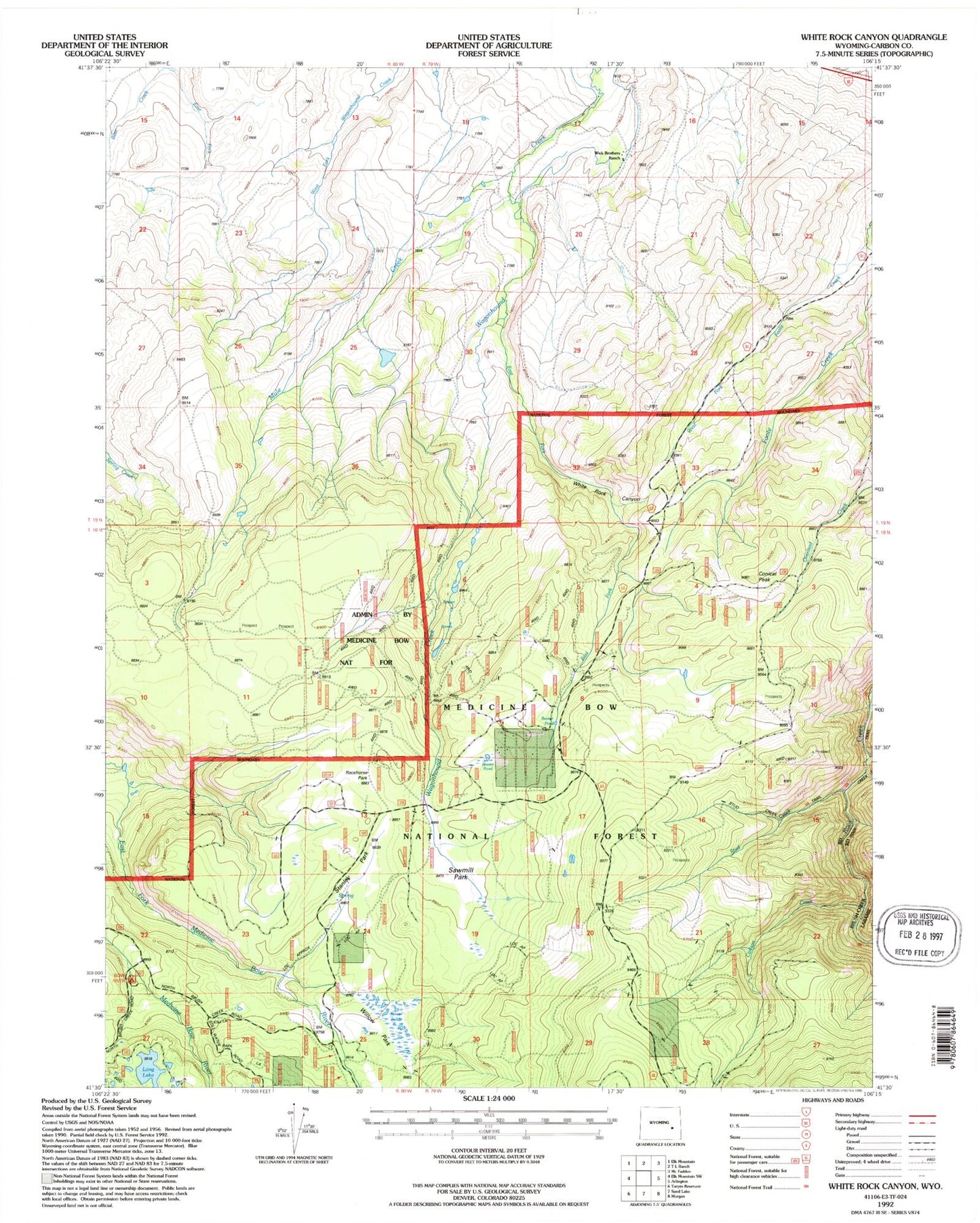
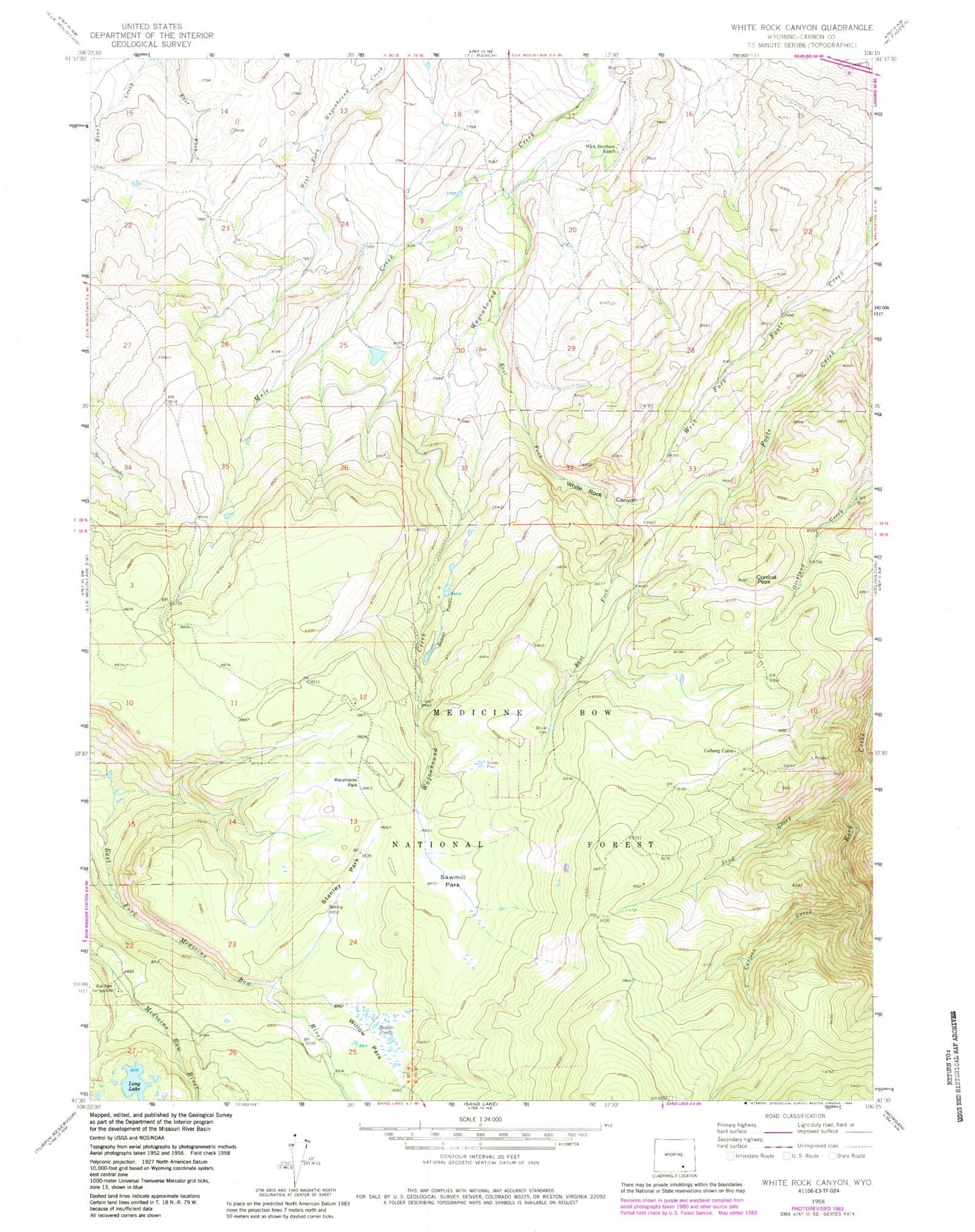
Classic USGS White Rock Canyon Wyoming 7.5'x7.5' Topo Map
Couldn't load pickup availability
Historical USGS topographic quad map of White Rock Canyon in the state of Wyoming. Typical map scale is 1:24,000, but may vary for certain years, if available. Print size: 24" x 27"
This quadrangle is in the following counties: Carbon.
The map contains contour lines, roads, rivers, towns, and lakes. Printed on high-quality waterproof paper with UV fade-resistant inks, and shipped rolled.
Contains the following named places: Bow River Campground, Carlson Creek, Colberg Cabin, Conical Peak, East Fork Bear Creek, East Fork Wagonhound Creek, Elk Creek, Logging Camp, Long Lake, Racehorse Park, Sawmill Park, Stanley Park, Stud Creek, West Fork Foote Creek, White Rock Canyon, Wick Brothers Ranch, Wick Brothers Sheep Camp, Willow Park, Race Horse Park


